 Guide On Map
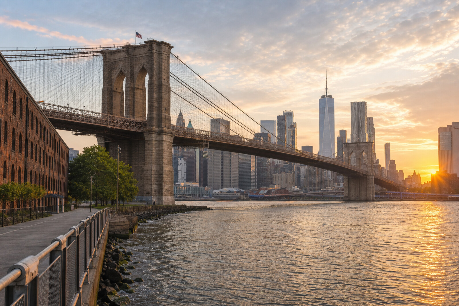
Brooklyn Bridge and the DUMBO Waterfront
From City Hall Park across the bridge to Pier 1
Guide On Map on your phone
Open the walk like a regular app
It takes about 10 seconds to install. No app store needed.
The whole path
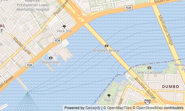
Route map
About the walk
You will begin at City Hall Park and step onto the Brooklyn Bridge from Manhattan's business district. Above the East River, the route will rise toward the stone towers, then descend into DUMBO: to a street between factory buildings, brick warehouses, a carousel under glass, and green Pier 1.
The bridge has more waiting for you than engineering calculations. Why did the new crossing once need a circus parade? Beneath one of its towers, the foundation never reached bedrock—and the story explains who chose to halt the work. On the waterfront, you will learn how a paper-box factory set up a famous city view, and how an old carousel was saved with a craft knife.
The story moves through risk, calculation, and stubborn work by hand. By the end, you will understand the decisions that shaped the Brooklyn Bridge and DUMBO's open waterfront.
Why this order
At City Hall Park, a public decision will become action, and just beyond the park the bridge will show how city decisions became the movement of thousands of people. The story of the crowd on the Brooklyn Bridge Promenade raises the question of trust in a new crossing, so at the towers the conversation turns to the risks faced by the engineers who built it. After stone and cables, the route descends to Washington Street, where you can see which factories grew up thanks to the bridge and the nearby piers. The buildings of a packaging business lead to Empire Stores, because boxes and coffee warehouses formed part of one production chain. Jane's Carousel beside the warehouses reveals the waterfront's next turn—from moving goods to relaxing by the water. Passing beneath the Brooklyn Bridge to Pier 1 completes that change: a former freight pier became a place whose public status had to be fought for separately.
Those who want to cross the Brooklyn Bridge for more than a single view Fans of engineering solutions and industrial history Those curious how a port waterfront became a city park
Those who do not want to cross the East River on foot Those more interested in Midtown skyscrapers than bridges, factories, and piers
Before you go
This is a linear route: it begins in Lower Manhattan and ends on the Brooklyn waterfront, so plan your way back in advance. Wear comfortable shoes: there is a long crossing, slopes, and stretches of stone paving ahead. Bring water and, on a sunny day, sun protection; there is little shelter on the bridge, and the weather feels stronger than it does among the buildings. Before setting out, check the condition of the pedestrian passage, the forecast, and current transit service. On the bridge, stay in the pedestrian section and do not stop where the flow narrows. The main story does not require entering buildings or riding the carousel; visits to indoor spaces and the ride itself are planned separately.
When to go
Morning usually makes for a calmer crossing and brings out the details of the facades more clearly. Toward evening, the light falls more dramatically on the water and the Manhattan skyline, but the bridge and popular viewpoints can be crowded. In heat, strong wind, or rain, it is wiser to choose another time.
Backup plan
If the bridge crossing is closed, too crowded, or unsuitable because of the weather, take public transit to DUMBO and begin a shortened version at Washington Street, keeping the four Brooklyn stops. The subway and river transport can replace the walk across, but check their current service before setting out. In strong wind or heavy rain, do not force yourself to finish at the open pier: move the waterfront to another time. You can listen to the stories at Empire Stores and Jane's Carousel from outside without counting on indoor access; if the weather is truly not fit for a walk, it is better to postpone the route, since the views, the distance, and the feeling of the open shore are an important part of the experience.
Route conditions
Surface. Paved — 3.6 km
Stairs. Flights: 3, 9 m in total
Access. Wheelchair — no; stroller — limited (stairs)
Facilities. Toilets — 8; drinking water — 8
Elevation. Ascent — 35 m; descent — 42 m
OpenStreetMap extract of June 18, 2026: database data, not a check on the ground. Data © OpenStreetMap contributors, ODbL licence
Walk plan
Open in maps ↗- 1
City Hall Park
It will show open city land as the place where a declared political break immediately became action. - 2
Brooklyn Bridge Promenade
It will explain why trust in the new crossing had to be won after it opened. - 3
The Towers of Brooklyn Bridge
It will reveal the decision that made it possible to complete the bridge when the foundation and the people had reached their limit. - 4
Washington Street, DUMBO
It will connect today’s view of the bridge with the packaging factory for which officials had to test a new construction method. - 5
Empire Stores
It shows how a port warehouse became part of the chain that turned coffee from a household task into a national product. - 6
Jane's Carousel
Explains why a dismantled carousel did not end up dispersed among private collections. - 7
Brooklyn Bridge Pier one
It will conclude the route with a dispute over who would get the freed-up port land.
Route features
Everything you need stays in the browser
Progress, saves and your trip plan are stored on this device.
Add Guide On Map to your home screen so the walk opens outside the browser.
How we handle sources, maps and corrections: our editorial standards