 Guide On Map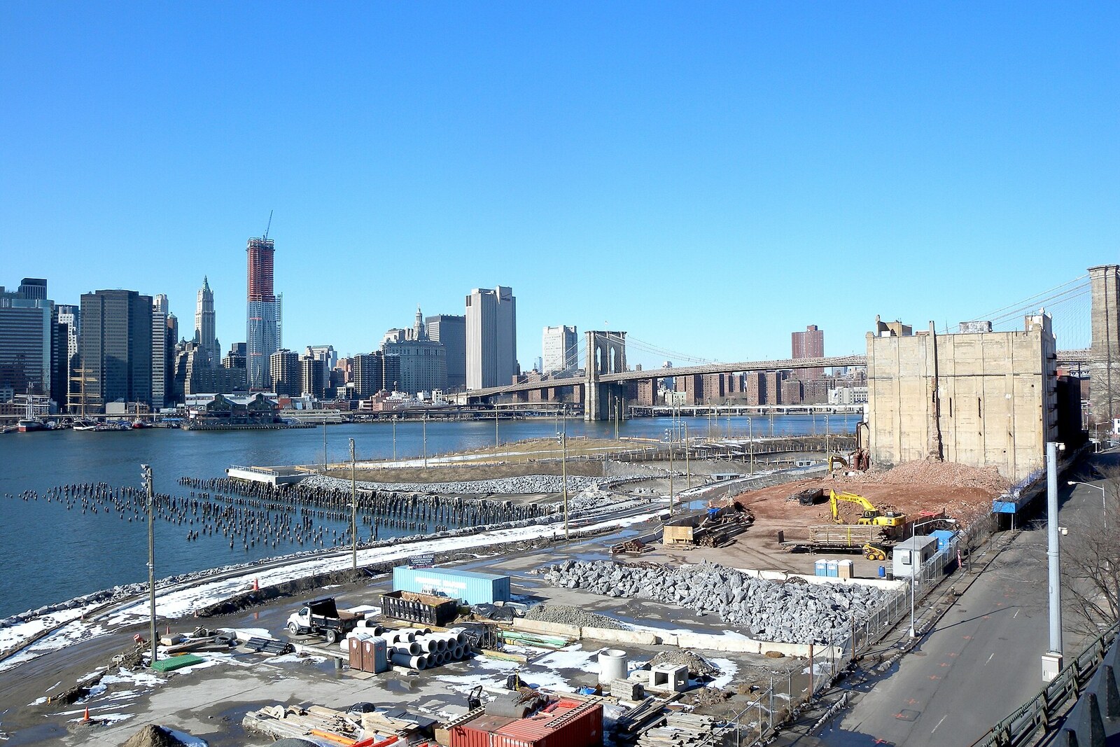
Look around first
What to notice
- Lawns on fill
- Walking path by the water
- Hotel and residential building by the entrance
The story of the place
Pier one is the northernmost of six former cargo piers south of Brooklyn Bridge. Its number remained from the port numbering. The current lawns, hills, and paths lie on fill: this is the park’s only pier that builders filled with soil rather than setting on piles. Free events and picnics are held here; more visitors enter the park through this entrance than through any other.
Until the mid-nineteen eighties, the pier was occupied by cargo yards and warehouses. Container ships required enormous areas for unloading and truck transport, and there was no such space between East River, the steep shore of Brooklyn Heights, and the elevated expressway. Port operations ceased, and the Port Authority of New York and New Jersey decided to turn the piers over for private development.
One of its employees asked Anthony Manheim, a former investment banker and chairman of the Brooklyn Heights Association, what he thought should be done with the freed-up land. Manheim lived above the Brooklyn Heights Promenade—a walkway at the edge of the high shore. All six piers could be seen from his apartment windows. He understood his own stake: new buildings could block that view. But the entire waterfront strip already belonged to the public, and after a sale it would be impossible to assemble such a site again.
Manheim invited two neighbors who knew how to argue with large institutions. Otis Pearsall, a partner at a Manhattan law firm, had previously secured landmark status for Brooklyn Heights and limits on the height of buildings along the waterfront. Scott Hand, head of the mining company Inco, helped the state buy Empire Stores and the old tobacco warehouse. At the Association, they created a committee for redevelopment of the piers, gathered forty-eight specialists and supporters, and by the beginning of nineteen eighty-seven had attracted one hundred thirty thousand dollars in donations. The money went toward their own study of the waterfront. The neighbors intended to come to the discussion with a ready alternative, not a list of objections.
In July nineteen eighty-eight, city officials and the Port Authority presented four options. They differed little: about three million square feet of housing, roughly two and a half thousand apartments, and only five acres for recreation. On Pier one itself, they proposed building three fifteen-story blocks and several more buildings up to ten stories high. They would have occupied the entire pier.
A week later, Manheim’s committee presented the Harbor Park project—a park by the harbor. Terry Schnadelbach, the landscape architect hired by the committee, drew a continuous publicly accessible waterfront, playing fields, an ice rink, and a marina. Restaurants, a hotel, and small retail spaces were to bring in money for maintaining the site. The colored plans made it possible to compare two future versions of Pier one at a single meeting: a block of buildings all the way to the water and an open shore.
The decision was made by Brooklyn Community Board 2—a local advisory body whose voice did not itself have the force of law but could discourage developers and derail approval. In November, its subcommittee supported Harbor Park by twelve votes to zero, with one abstention. In December, the full board voted for it unanimously. The sale of the piers was stopped.
The victory split the committee itself. Hand and Pearsall proposed agreeing to a small amount of housing in order to pay for the park more quickly. The majority demanded a wholly public site, and both left the leadership at the beginning of the following year. Manheim continued the campaign; the coalition he created united more than sixty organizations. The city and state agreed to fund the park only in the early two thousands, and on March twenty-second, two thousand ten, the builders admitted the first visitor here, to Pier one.
The three fifteen-story blocks never occupied this projection. Lawns and a walking path stand in their place. A hotel and residential building were nevertheless built by the entrance, on the shoreward part of Pier one: the very compromise over which Hand and Pearsall left the committee ultimately stopped at the edge of the park.
Useful on site
The park is open 6:00–1:00. Pavilions and restrooms operate 7:00–23:00 (March–October) and 7:00–22:00 (November–March).
Checked: June 17, 2026. Check the official source before visiting.The pier is exposed to wind and sun; for listening, step away from the bicycle and pedestrian flow and choose a stable spot.