 Guide On Map
Back Bay on Filled Land
From Boston Public Garden along residential streets to Copley Square
Guide On Map on your phone
Open the walk like a regular app
It takes about 10 seconds to install. No app store needed.
The whole path
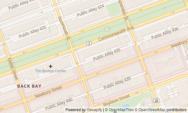
Route map
About the walk
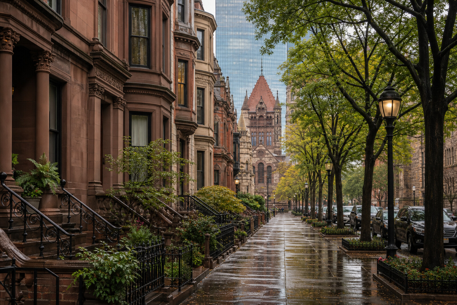
You will walk from Boston Public Garden along the green center of Commonwealth Avenue, then turn into Back Bay's residential blocks and emerge at the ensemble of Copley Square. This is not a chain of colonial landmarks: almost the entire walk unfolds on land reclaimed from the water in the nineteenth century, then immediately divided between sale and shared use.
Along the way, you will see a lagoon, rows of townhouses, a street of expensive shops, two churches, and a library with an inner courtyard. But the story will not rest on architectural styles. You will find out why a woman who rented out boats had to spend years proving her reliability to her neighbors, what object made parishioners debate the price of an inheritance for 2 hours, and why a gifted statue left the library fountain.
By the end, you will read Back Bay as a sequence of specific decisions: what to fill, what to sell, what to leave open, and what to return to the city.
Why this order
Boston Public Garden sets the original measure for the new land: here, a shared space was preserved on what had been a tidal flat. Commonwealth Avenue continues it as a green strip and shows how refusing to build linked the garden to the new neighborhood. From the mall, the route turns onto Marlborough Street, where a private educational experiment behind a residential facade became part of the city system. Nearby Newbury Street shows the reverse transformation of the same residential row—into a hotel and shopping address. The street then leads to Old South Church, where the question of maintaining the building forced the congregation to decide the fate of a rare book. Across the way, Boston Public Library continues the conversation about public and private through a rejected commemorative gift. Across the square, Trinity Church shows how a congregation, a preacher, and an architect assembled a new public place. The final stop brings all the buildings together in Copley Square and lets you read the last trace of a street that gave way to the square in its diagonal path.
First-time explorers of Back Bay who want to understand how it works Lovers of urban history told through private decisions and disputes Anyone interested in parks, residential streets, and public architecture on one walk
Those looking above all for the colonial center and revolutionary history Those who want panoramic views rather than details of city life Those who prefer a quick overview without long human stories
Before you go
The main story can be followed from the street: the garden, mall, residential blocks, and square are all accessible for viewing from outside. The interiors of Trinity Church, Boston Public Library, and Old South Church keep their own schedules, depending on services, events, and current visitor rules—check them separately on the day of your walk. Some figures in the story are not in public interiors: the homes on Marlborough should be viewed only from the sidewalk, while Old South documents are kept in an archive and are not a regular exhibition. Bring headphones and be ready to cross busy streets several times.
When to go
Allow a relaxed 2–3 hours for the outdoor portion, not counting long stops inside buildings. Daylight will help you see the facades and monuments; at the busiest times, Newbury Street and Copley Square will be noticeably louder. If you plan to enter a church or the library, leave extra time and do not tie the whole route to a single interior.
Backup plan
If it rains, shorten the western loop: see Boston Public Garden and the beginning of Commonwealth Avenue, then head toward the buildings around Copley Square, using open interiors only after checking access. If Trinity Church or Old South Church is closed, their stories can still be read in their towers, arches, and position on the square. A closed library does not break the route either: its facade inscription and its dialogue with Trinity Church are visible from outside. In severe weather, leave Marlborough Street and Newbury Street for another day without changing the walk's final logic.
Route conditions
Surface. Paved — 2.1 km (data covers 76% of the route)
Facilities. Drinking water — 1
Elevation. Ascent — 18 m; descent — 21 m
OpenStreetMap extract of June 18, 2026: database data, not a check on the ground. Data © OpenStreetMap contributors, ODbL licence
Walk plan
Open in maps ↗- 1
Boston Public Garden
Here, public land, a family business, and an old boat mechanism come together in one city story. - 2
Commonwealth Avenue Mall
The width of the avenue and its open connection to the garden show how much land the city deliberately chose not to put up for sale. - 3
Marlborough Street
An ordinary number above an entrance marks the place where a private school prepared changes for the whole city. - 4
Newbury Street
This stop shows how a hotel replaced residential houses and gave the lower part of the street a new price point and clientele. - 5
Old South Church
A rare book will force the parishioners to choose between preserving an object and continuing their shared work. - 6
Boston Public Library
Here, a personal memorial gift will turn into a public controversy, after which a different bronze will remain in the courtyard. - 7
Trinity Church
The church’s layout will show how a relocating parish was organized around the preacher’s voice and places for listeners. - 8
Copley Square
The finale brings the route together in one square that several generations of residents reshaped after unsuccessful decisions.
Route features
Everything you need stays in the browser
Progress, saves and your trip plan are stored on this device.
Add Guide On Map to your home screen so the walk opens outside the browser.
How we handle sources, maps and corrections: our editorial standards