 Guide On Map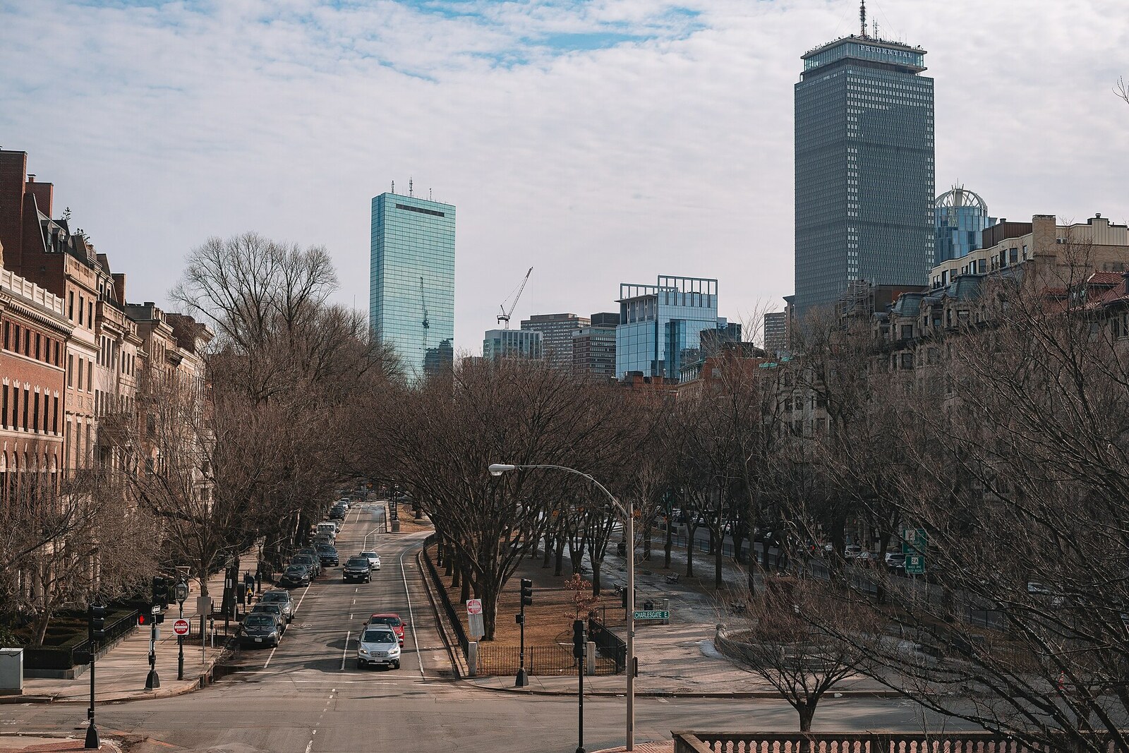
Look around first
What to notice
- Central promenade strip
- Side roadways
- Rows of trees
- Open passage to the Boston Public Garden
The story of the place
The authorities turned the tidal flats beyond the Boston Public Garden into dry land for a new residential district. A broad green strip runs between two rows of homes, with another twenty feet of land left in front of the façades on both sides. Plots on this new land were even used to pay those who brought in gravel for the fill.
The green strip between the two roadways is called the Commonwealth Avenue Mall. Here, the word “mall” retains its old meaning: a promenade. Under the original rules, carriages and horses were to stay on the side roads, while the middle was set aside for pedestrians, trees, and lawns.
This width came out of an argument about money. In the mid-nineteenth century, the authorities of Massachusetts filled in the tidal flats beyond the Boston Public Garden and intended to sell the new land for houses. Plots were even used to pay contractors who brought in gravel. Every foot given to a street or park could not be put up for auction.
On November fifth, eighteen fifty-six, Arthur Delevan Gilman, a Boston architect seeking a coherent plan for the new district, presented his proposal to a legislative committee. Gilman made his living from architectural commissions: he kept his own office and designed churches and private houses. Three years earlier, he had visited London and Paris, and now he proposed a broad straight boulevard running from the Boston Public Garden, comparable in its spatial effect to the Champs-Élysées and Unter den Linden.
The earlier plan allowed one hundred twenty feet for the central street. Gilman demanded two hundred, proposing that the entire addition be given to the promenade in the middle. The committee members agreed. They also required owners to set their façades back another twenty feet on each side. This left two hundred forty feet between the future houses—about seventy-three meters.
Two years later, this connection was nearly broken at its very beginning. Members of the city council planned to lay out house lots on the east side of Arlington Street, along the Boston Public Garden. Only a single opening opposite the central promenade would have remained from the garden, while a brick wall of houses would have occupied the rest of the boundary.
Gilman wrote a protest to the mayor. He warned that a future city government would have to pay millions to remove this wall and restore the lost connection. The council members backed down, but demanded compensation for the revenue from the sale that did not take place. Boston received two other lots farther west in exchange, and the legislators prohibited the construction of buildings between Arlington Street and Charles Street, except those necessary for gardening. In the spring of eighteen fifty-nine, city voters approved this agreement.
The project also brought Gilman commissions: before long, he took part in the construction of Arlington Church and several of the first houses facing the new avenue. At its beginning, a row of houses never appeared. Across Arlington Street, the open edge of the Boston Public Garden remains, and to its west stretches a promenade strip one hundred meters across—land they decided not to sell.
Useful on site
Park 6:30-23:00; pedestrian access 24/7.
Checked: June 28, 2026. Check the official source before visiting.City streets cross the avenue, so cross them on the signal. For this story, it is enough to walk along the central path and stop at the two memorials.