 Guide On Map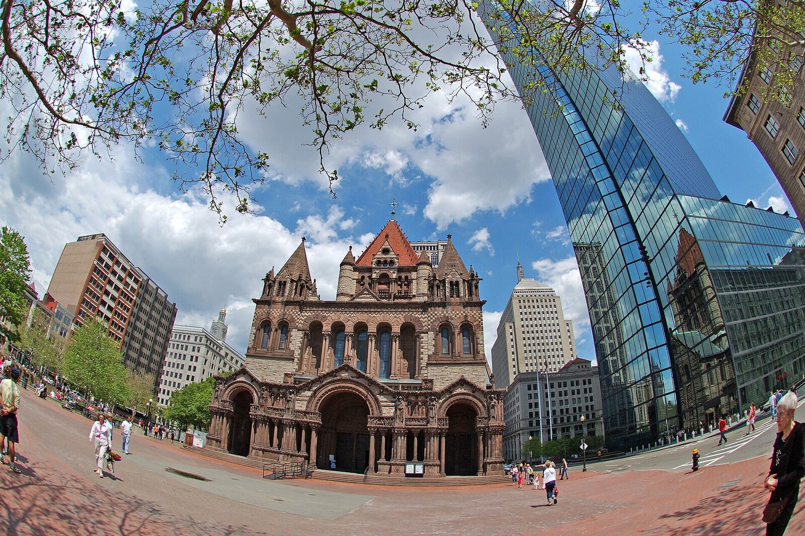
Look around first
What to notice
- Bronze figure with a palette
- Diagonal path
- Broad paved area
- Lawn in front of Trinity Church
The story of the place
When Huntington Avenue ran diagonally between the library and Trinity Church, the square was divided into two grassy triangles: cars occupied the middle, while pedestrians were left with the edges. Now a diagonal path across the broad paving follows the road's direction, and the central section lies at sidewalk level. Farmers' stalls are set out here, Boston Marathon services are based here, and First Night is celebrated here; a lawn remains in front of Trinity Church, and beside it a small grove with seating has grown up.
The bronze man with a palette is John Singleton Copley, the leading portrait painter of colonial Boston. In eighteen eighty-three, the city gave the square his name. Before that, it was called Art Square, the square of the arts: where the hotel now stands, the first Museum of Fine Arts, Boston then stood. Copley himself never saw this square. He left for England on the eve of the American Revolution and died forty years before the filling of Back Bay began; water still lapped here during his lifetime.
The square bearing his name remained two grassy triangles for a long time. Huntington Avenue ran diagonally between the library and Trinity Church. Cars occupied the middle, while pedestrians went around it along the edges.
In nineteen sixty-five, Mayor John F. Collins decided to turn this intersection into a civic gathering place. He included the closure of a section of Huntington Avenue in the master plan and announced a nationwide competition. The winning team proposed lowering the pedestrian area below street level: earthen slopes and walls were meant to shield people from traffic. By nineteen sixty-eight, the road had been removed, the two triangles joined, and terraces and a cascading pool laid out below.
The plan did not work out. The walls and changes in level did cut off cars, but along with them they cut the square itself off from the sidewalks. It was hard to see from the surrounding streets what was happening below; safety problems arose, and passersby more often crossed the space along the edges. Collins achieved the main thing—Huntington Avenue never returned here—but the sunken square created by his competition lasted about twenty years.
For the centenary of the square's naming, residents created the Copley Square Committee. Its members held four open discussions, raised money from local companies and at charity events, and then organized a new competition. This time, the central section was raised to sidewalk level, and lawn, trees, benches, and a fountain were added. After the work was completed in nineteen eighty-nine, market stalls, stages, and Boston Marathon tents could be set up here.
When the trampled lawn and worn paths again required redesign, starting in twenty twenty the city conducted a survey, three public meetings, and discussions with neighborhood associations. The park, opened in May twenty twenty-six, received a broad paved area for the farmers market, the First Night celebration, and marathon services; a lawn in front of Trinity Church; a raised grove with seating; and forty-six new trees.
A diagonal path across the new paving follows the direction of the vanished Huntington Avenue. The roadway that Collins removed for the sake of a shared square can now be traced beneath your feet.
Useful on site
Open public square; access may change because of events.
Checked: June 28, 2026. Check the official source before visiting.View the high-rise and the hotel from the square, without lingering in the roadway. Objects from the spontaneous memorial of 2013 were transferred to an archive, so do not look for them in the park.