 Guide On Map
Bogotá and Monserrate: From the Center to the Eastern Hills
From Journalists' Park along the Vicachá River to the summit of Monserrate
Guide On Map on your phone
Open the walk like a regular app
It takes about 10 seconds to install. No app store needed.
The whole path
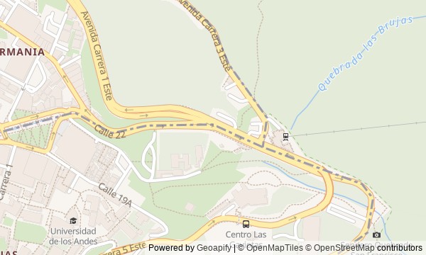
Route map
About the walk
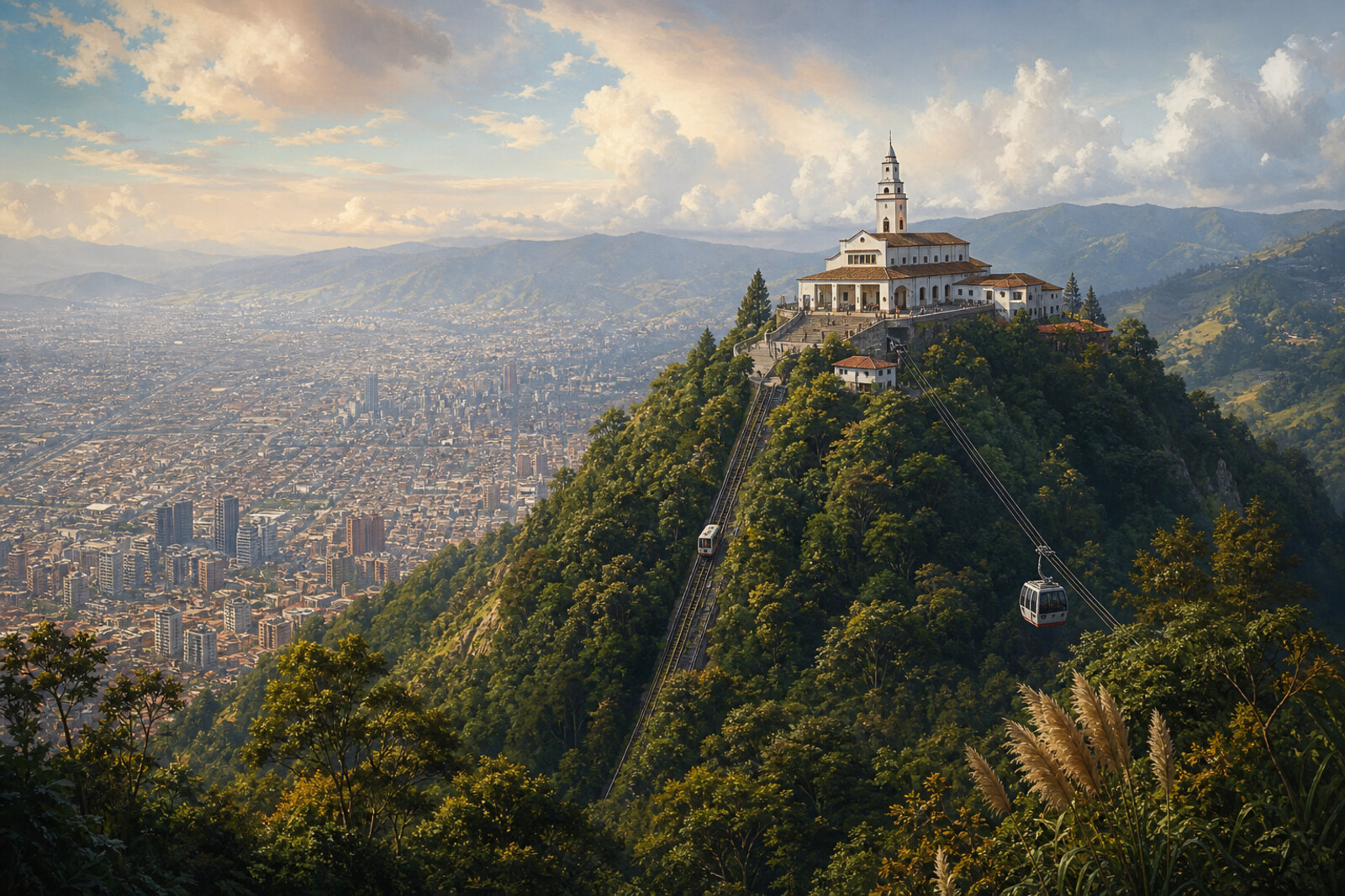
You will begin in Journalists' Park, then follow water that has reappeared above a hidden river, step into a country estate, and reach the lower station of Monserrate. From there, the city will remain below. The trail climbs a steep slope to the sanctuary, viewing platforms, and a wooden house beside the cable car.
This is not a walk through ceremonial Bogotá, but a passage from an editorial quarter into the Eastern Hills. Why does a newspaper story begin with shipping crates? Why would a future political opponent build a dining room here? Who gets the seats in the first car? And how does a wooden house end up on the summit?
The story follows documents, human decisions, and traces you can still see. Where only a legend remains, you will hear that too. By the end, you will be able to explain why the road to Monserrate begins not at the station, but at the underground Vicachá River in the center of Bogotá.
Why this order
Journalists' Park is the route's low point: its square meets the bend of the avenue above the old riverbed. That makes Eje Ambiental the natural next stop, leading along the Vicachá River to the place beside Quinta de Bolívar where part of the water was brought back to the surface. After the estate, the route continues to the lower station, where a mechanical alternative to the long climb from the city comes into view. Just beyond the transport appears its historic alternative: the walking trail. It leads to the sanctuary that drew people up the mountain. Only then does the route turn to the viewing platforms and restaurants, where the later secular life of this religious summit becomes visible.
Those who want to walk from central Bogotá to Monserrate in one connected route Lovers of urban history, documents, and objects with unexpected fates Those who care not only about the view from the summit, but also about the road that leads there
Those expecting a walk without a steep ascent Those who want only the panorama and would skip the city section Those who find a long walk on a stone slope difficult
Before you go
Check official updates in advance on access to the walking trail, Monserrate Funicular, Monserrate Cable Car, and Quinta de Bolívar: weather, maintenance, and entry rules can change the plan. For the ascent, bring shoes with good grip, water, and keep your hands free; a light waterproof layer is useful even if the center is dry. At altitude, do not race the stairs: keep a pace at which you can speak comfortably, and take breaks. A museum visit, a transport ride, and a restaurant table may each require a separate decision or reservation—do not assume they are automatically included in the walk.
When to go
Set out in the first half of the day so you can cross the center without rushing and keep time in reserve for the ascent, changing weather, and a rest at the top. The walking version takes noticeably longer than the transport option: beyond the usual stops, it includes stairs, recovery breaks, and a slower descent.
Backup plan
If the trail is closed, the weather worsens, or the climb proves harder than expected, end the ground-level section at the station and go up only on operating official transport. If that is not running either, do not look for alternative trails: focus on Journalists' Park, Eje Ambiental, and Quinta de Bolívar, and save the mountain section for another day. In fog, the summit still makes sense for its sanctuary and buildings, but for the panorama, return another day. Use the same safe choice for the descent: tiredness after the stairs is reason enough to take transport.
Route conditions
Surface. Paved — 2.3 km; unpaved — 929 m (data covers 57% of the route)
Stairs. Flights: 5, 1.1 km in total
Access. Wheelchair — no; stroller — limited (stairs)
Facilities. Toilets — 9; drinking water — 1
Elevation. Ascent — 533 m; descent — 42 m
OpenStreetMap extract of June 23, 2026: database data, not a check on the ground. Data © OpenStreetMap contributors, ODbL licence
Walk plan
Open in maps ↗- 1
Journalists' Park
A newspaper episode will show how checking one testimony brought an editorial office into conflict with the military regime. - 2
Eje Ambiental
Here, the avenue's curve and the fate of the river left beneath urban improvements will become clear. - 3
Quinta de Bolívar
The surviving dining room provides a tangible trace of an alliance that ended in trial and exile. - 4
Monserrate Funicular and Cable Car Station
The first mountain railway will show how a technical breakthrough immediately divided pilgrims by means. - 5
Monserrate Walking Trail
The ascent connects the present-day road with the monastic plan for which materials were carried on people’s backs. - 6
Señor Caído Sanctuary
The main altar explains why a secondary figure displaced Monserrate's original sacred image. - 7
Viewing Platforms and Restaurants
The final stop shows how the summit was adapted for strolling and how an entire house was moved here.
Route features
Everything you need stays in the browser
Progress, saves and your trip plan are stored on this device.
Add Guide On Map to your home screen so the walk opens outside the browser.
How we handle sources, maps and corrections: our editorial standards