 Guide On Map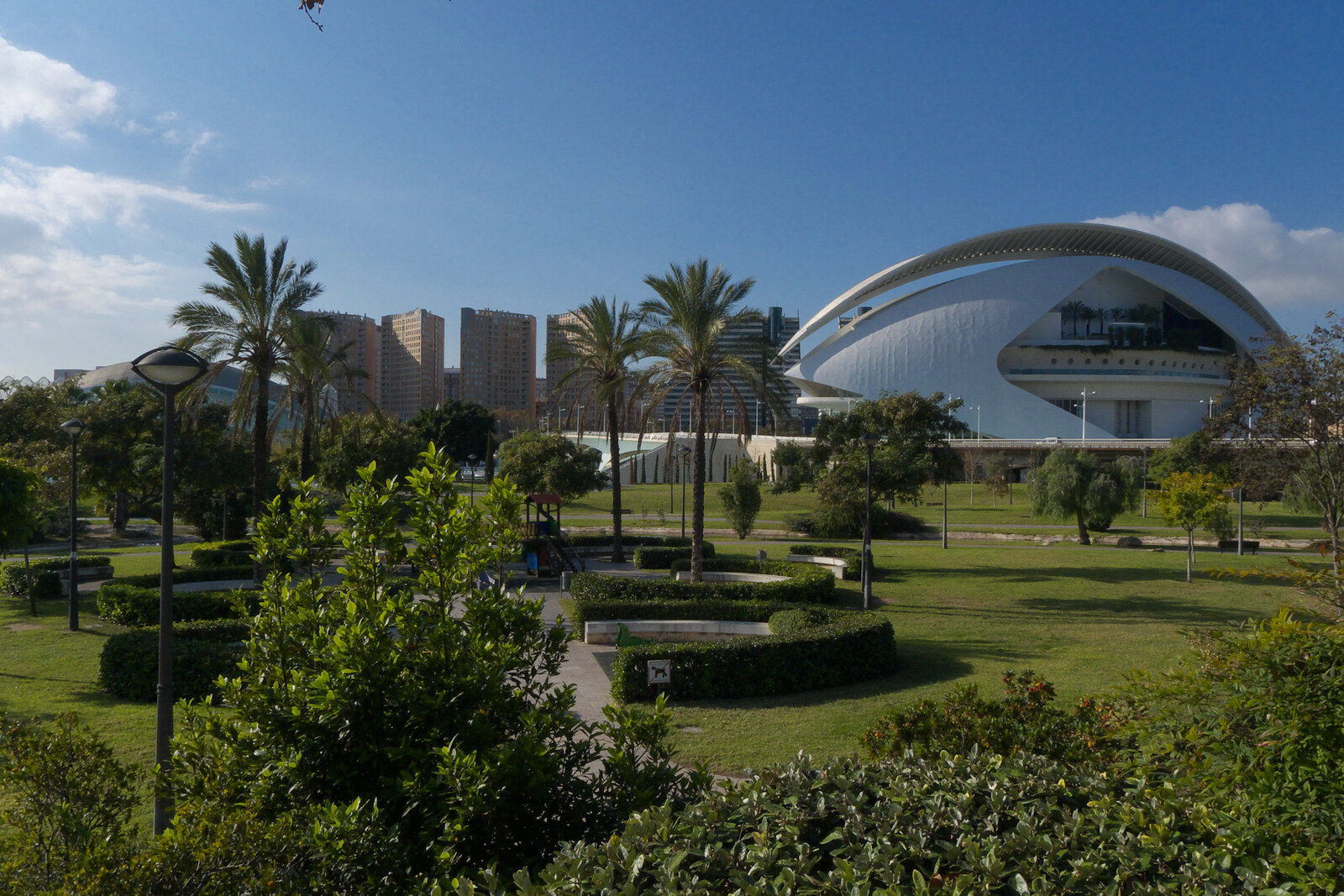
Look around first
What to notice
- Stone banks
- Straight central path
- Loosely planted trees
- Sports grounds
The story of the place
Lawns, running paths, and sports grounds lie below the city streets, on the bed of the former Turia River. Until the second half of the twentieth century, water flowed here beneath stone bridges. On October fourteenth, nineteen fifty-seven, the river flooded Valencia; dozens of people died. After the disaster, the government chose the southern diversion route, engineers gave the river a new course around the city, and by nineteen seventy-two this section no longer had a river.
Under the master plan of nineteen sixty-six, the freed-up eight kilometers were intended for an urban expressway. Roads from Madrid, Barcelona, and Alicante were to converge in the old riverbed and lead through the center to the port. The stone banks would have remained, but traffic lanes and interchanges would have run between them instead of water.
Architect Carles Dolç and residents of the neighboring districts saw a different use for the dry riverbed. Densely built-up Valencia lacked publicly accessible greenery and places for sports. In the final years of the dictatorship, Dolç took part in a campaign joined by dozens of neighborhood, cultural, and professional associations. The demand fit into one sentence on stickers and posters: “The Turia riverbed is ours, and we want it green.”
The transfer of the land to the municipality in nineteen seventy-six did not yet guarantee a garden: under the plan then in force, an expressway was still designated here. On May sixth, nineteen seventy-seven, the city council began changing the riverbed’s designation. The campaign continued during this process. On November twentieth, the commission for the defense of the riverbed held the first “Games on the River” right here. People filled the vacant bed with sports competitions and children’s activities—the activities for which, they said, the city lacked space. In November of the following year, the council definitively allocated the entire old riverbed to a public green zone.
The entry in the plan still had to be turned into a real park. Mayor Ricard Pérez Casado, who took office in September nineteen seventy-nine, set about this during an economic crisis, when abandoned districts, roads, and railway crossings demanded funding. Opponents of the project insisted that people would not go down into the former riverbed and that it would turn into a dump.
In September nineteen eighty-one, Pérez Casado commissioned architect Ricardo Bofill to prepare a garden design. His models were exhibited in the Silk Exchange building. Around one hundred thousand people came there over several weeks; about ten thousand filled out questionnaires, and more than ninety percent considered transforming the riverbed beneficial for Valencia. Construction of the first sections began in nineteen eighty-six. In June of the following year, Pérez Casado, still serving as mayor, saw the opening of the first completed sector.
The Turia River now runs through the southern channel, while people run, cycle, play football, and picnic in the old riverbed. Between Pont del Real and Exposition Bridge, the trees around the straight central path were deliberately planted loosely: this section grew out of mass city plantings in the early nineteen eighties. Their trunks stand where the master plan of nineteen sixty-six had allocated space for cars.
Useful on site
The garden is accessible as a public space; individual facilities, restrooms, and services may close.
Checked: June 28, 2026. Check the official source before visiting.This is a shared space for runners, cyclists, children, and pedestrians; do not block the paths while exploring the riverbed.