 Guide On Map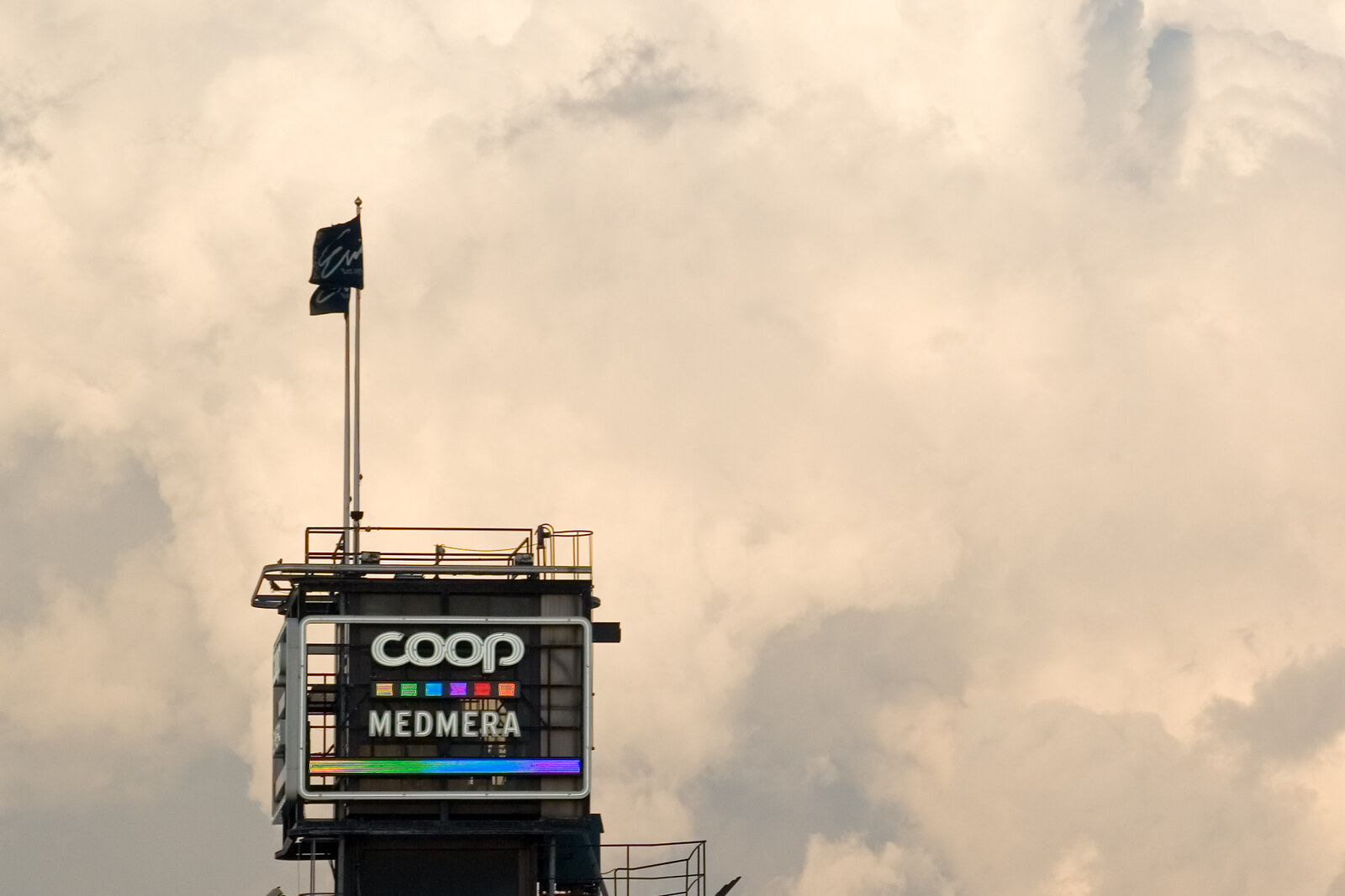
Look around first
What to notice
- The lock
- Spillway channels
- Riveted elevator shaft
- Pedestrian bridge
The story of the place
Katarinahissen connects the Stadsgården waterfront with Mosebacke in the upper part of Södermalm. The riveted shaft and pedestrian bridge are arranged around the elevator, which was used by those who needed to get quickly up from the slope without climbing steep streets and wooden stairways. The first tower was dismantled during the redevelopment of Slussen; the current one appeared later, and after a long break one large cabin is operating in it again.
On the western side of Slussen is the fresh water of Lake Mälaren; on the eastern side is brackish Saltsjön, part of the Baltic Sea. The lake lies higher, so the lock raises and lowers vessels as they pass between the two bodies of water. The entire place gets its name from this function: Slussen means “the lock.” Today, spillway channels here also regulate the level of Lake Mälaren, diverting excess water to the sea.
Katarinahissen rises above the lock. Between the Stadsgården waterfront and Mosebacke there are about thirty-five meters of vertical distance. In the nineteenth century, people crossed this difference by steep streets and wooden stairways.
The private engineer Knut Lindmark decided to sell city residents a short way up. He sought permission to build a tower with an elevator and a pedestrian bridge from the quay to Mosebacke. The city council gave its approval in May of eighteen eighty-one, but private contributors paid for the construction. Lindmark founded Mosebacke gångbroaktiebolag and persuaded investors to contribute one hundred eighty thousand kronor. This money was to be recovered through a small fare for each ride.
On March nineteenth, eighteen eighty-three, the first passengers entered two cabins. Each held twelve people and a conductor. A steam engine lifted them in forty-five seconds. The trip up cost five öre, and the trip down three: Lindmark understood which direction people would be more willing to pay for. As early as the first month, about fifteen hundred people used the elevator every day, and shareholders received good dividends. City residents bought themselves forty-five seconds instead of climbing the slope.
Katarina in the name came before the elevator. The eastern part of Södermalm was made into a separate parish in sixteen fifty-four and named in memory of the Swedish Princess Katarina, the late mother of King Karl X Gustav. The name passed to the parish, the hill, and then the elevator; the Swedish word “hissen” means “elevator.”
Lindmark’s tower is no longer here. It was dismantled in nineteen thirty-three during the redevelopment of Slussen. The open riveted shaft in front of us belongs to the next elevator, launched in nineteen thirty-six. After a thirteen-year break, one large cabin was installed inside it, and in the autumn of two thousand twenty-three it began carrying people again. Lindmark charged five öre for the ascent; now his short route through the same rock remains free.
Useful on site
An urban point on the route; access to the elevator, church, museum, and theater changes, so check the current rules on official pages or on site.
Checked: date not specified. Check the official source before visiting.Follow the current signs: routes may change because of construction work. Do not plan your route expecting to ride the elevator.