 Guide On Map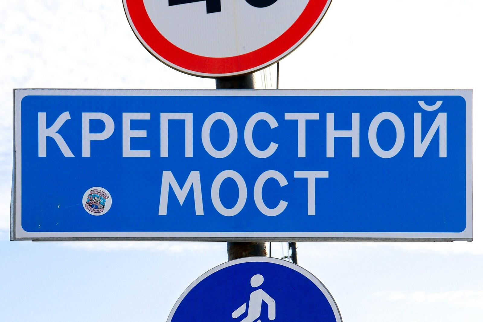
Look around first
What to notice
- Stone support in the water
- Reinforced-concrete span
- Statues at the entrance from Krepostnaya Street
- St. Olaf's Tower beyond the bridge
The story of the place
Beneath the current reinforced-concrete deck, right by the castle, a large stone support remains in the water: it held the movable part of the former crossing. The westbound road and the water route from the lake country to Vyborg Port and the Gulf of Finland met here, so the bridge could make way for ships. The span turned around this support and opened two navigable channels; the geared mechanism was operated manually from a hatch in the deck. Later, the shipping route was moved to another strait, the old structure was replaced by the current bridge, and its stone center can now be seen separately from the new piles.
In the nineteen twenties and thirties, a passenger could not travel from central Vyborg to the western districts on a single tram. The first route ended before the bridge, while the third began on the opposite bank. Every morning, two cars of the third line were brought here from the depot; they stayed on this side of the strait all day and returned in the evening. Passengers got off, crossed the bridge on foot, and boarded another car.
The managers of the private Vyborg Tramway Company could have connected the routes, but refused: vessels made it impossible to keep to the timetable. Every hour, the bridge was closed for trams, carriages, and pedestrians for about fifteen minutes. The bridge operator opened a hatch in the deck, inserted a key with a long crossbar, and manually set the geared mechanism in motion. The swing span turned on its central support and cleared two channels at once—ships could pass one another in opposite directions.
Such a design became necessary after the Saimaa Canal opened in eighteen fifty-six. Captains guided passenger vessels and timber barges from the lake country through the canal to Vyborg Port and the Gulf of Finland. The approach channel ran right here, through the strait by the castle, while the bridge carried the main land route west. Until nineteen eighteen, the bridge was called Åbo Bridge: the Royal Road to the city of Åbo, present-day Turku, began there.
At first, engineers installed a retractable span, which was moved entirely aside toward the city street. In eighteen ninety-five, builders replaced it with a swing span. After trams appeared, barges, tramcars, automobiles, carts, and pedestrians competed every day for the right of way at one spot. In the first six months of nineteen thirty-nine, one hundred fifty-five traffic accidents were recorded on the narrow bridge.
When the Saimaa Canal fairway was moved to another strait, builders replaced the old structure with a reinforced-concrete one in nineteen seventy-nine to nineteen eighty, and no longer made it movable. A massive stone support in the water remains from the former mechanism. The modern span passes above it, rests on new piles, and does not touch the old stone.
Useful on site
The bridge is open as a city crossing; take traffic and wind by the strait into account.
Checked: June 24, 2026. Check the official source before visiting.This is an active crossing, so listen to the story on the pedestrian section and stop only where you do not obstruct traffic. The old mechanisms and tram tracks may not have survived.