 Guide On Map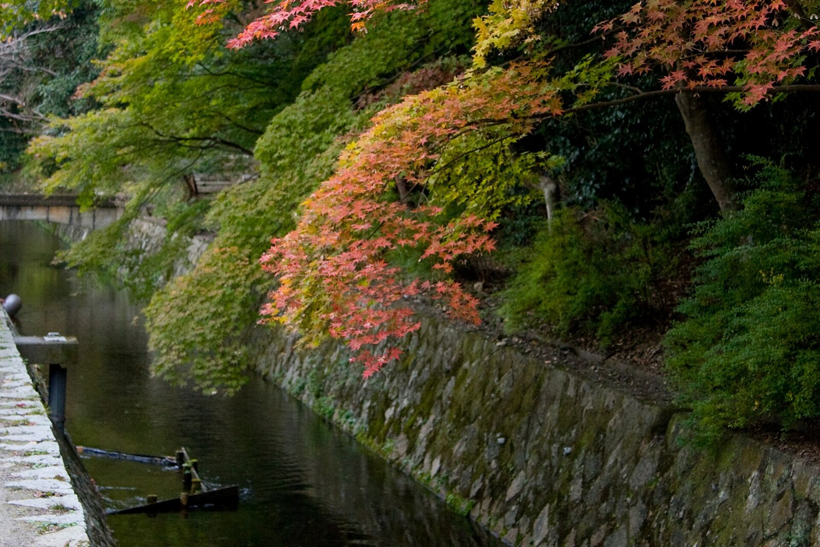
Look around first
What to notice
- The open canal channel
- The stone path
- Cherry trees on the opposite bank
- Signs with the path's name
The story of the place
A narrow stone path runs along the open canal. Beneath its stones lies a water pipe one meter eighty in diameter, while the water has been left its own channel. Access for regular cars is closed here, so this technical corridor became a walking route. Cherry trees grow on the opposite bank, and the name on the signs was chosen by residents of neighboring homes.
In nineteen sixty-eight, the city administration proposed filling in this canal and building a road in its place. By then, the water was rarely turning mill wheels and was used less and less for irrigation. Engineers needed to run one more pipe to the expanding water-treatment plant, and the old channel seemed a convenient corridor.
For the residents of neighboring homes, the project meant a stream of cars beneath their windows, the disappearance of the water, and the felling of some of the cherry trees. In nineteen sixty-nine, they formed a society to preserve the path and began negotiations with the city. At the same time, both the society and the section they were protecting needed a name.
The residents recalled Nishida Kitaro, a professor at Kyoto Imperial University. From nineteen ten onward, walking every day helped him shift gears after work and think through new ideas. He walked in the area of Ginkaku-ji, Honen-in, and Nanzen-ji, sometimes for two hours. No one recorded a single fixed route for Nishida, but city residents associated this path with him and with other university thinkers whom they saw by the canal. It had previously been called both the Road of Reflection and the Philosophers' Path. During the preservation campaign, the residents chose the name “Philosopher's Path,” and the city later adopted it.
The negotiations changed the project. A new pipe, one meter eighty in diameter, was laid beside the channel and covered with a pedestrian path. The canal was narrowed by about eighty centimeters, but the water was left open. The cherry trees on the opposite bank were preserved. Access was closed to regular cars, and full asphalt paving was abandoned. The main work was completed in nineteen seventy, and the entire pedestrian section opened in nineteen seventy-two.
Beneath the stones of today's path lies that very water pipe. Beside it flows the canal that was to have been filled in. The signs bear the name the residents devised during the struggle to preserve it.
Useful on site
Open around the clock, free
Checked: June 22, 2026. Check the official source before visiting.The path is narrow in places and remains an ordinary passageway, not just a tourist attraction. Do not take up its full width, and do not go right up to the water for a photo.