 Guide On Map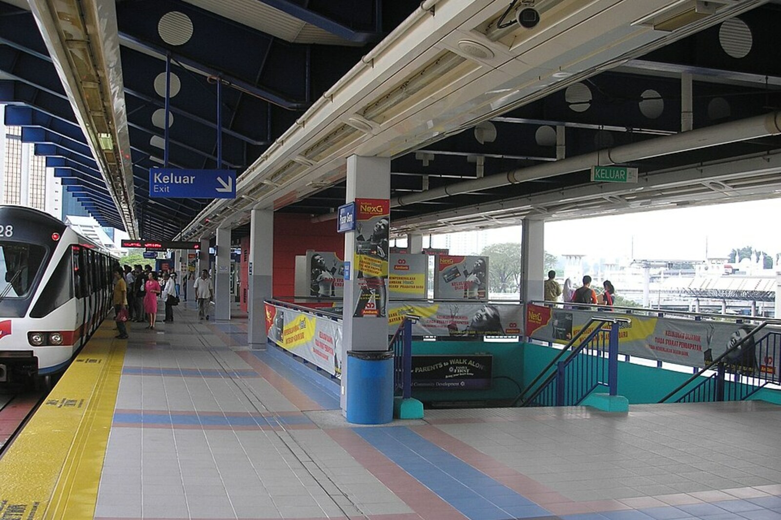
Look around first
What to notice
- The confluence of the Gombak River and the Klang River
- The Y-shaped figure inside the station
- Bridges over the river channels
The story of the place
At the confluence of two rivers, beneath the bridges, a transshipment landing place once operated. Cargo vessels arrived here by water, while supplies and goods then went on to the mines along land trails; mined tin was carried back to the river. Three wooden shops selling food and necessities grew up on the raised bank, and a market and settlement gradually formed around them. The shops and the landing place have long since disappeared, but the river channels still mark the spot where trade linked the water to the road into the depths of the valley.
In Malay, “Pasar Seni” means “art market.” The station received this name from the neighboring Central Market. Inside the station, a figure resembling the letter Y is repeated: it represents the confluence of the Gombak River and the Klang River. Two railway lines and buses meet here—almost at the same place where river and land routes once converged.
In the middle of the nineteenth century, the mines were not here but farther on, near Ampang. But heavy cargo boats could conveniently travel up the Klang River only as far as this stretch. Goods were unloaded here and then carried to the mines along trails. Tin ore was brought back to the landing place, and boatmen carried it downstream to Port Klang. The journey took several days.
One of the first to risk making money from this was Raja Abdullah, the sultan’s representative in the Klang district: he collected revenue from tin mining and trade. In eighteen fifty-seven, Abdullah borrowed thirty thousand dollars from Chinese merchants and hired eighty-seven prospectors. They came up here by boat, landed at the confluence, and set off on foot for Ampang. Within a month, sixty-nine people died, mainly of malaria. Abdullah himself, according to the surviving information, did not go on this expedition. He sent another one hundred fifty workers after them with supplies. Two years later, the first consignment of tin was taken out of the new mines.
For the prospectors, this spot was a transshipment landing place. The merchant Sutan Puasa saw it as a place for permanent trade. He lived near Ampang, supplied the mines, and wanted to receive goods without long interruptions. On his advice, two supplier acquaintances, Hiu Siew and Yap Sze, left their businesses in Lukut and moved to the confluence.
They cleared an elevated plot by the water and built three wooden shops. They sold food and everyday supplies there, and bought ore from the prospectors. These shops came to be remembered by the name “Three Trading Houses.” Hiu Siew and Yap Sze also laid out a road from the landing place to the mines. A boatman no longer had to look for a buyer deep in the valley, and a prospector no longer had to carry tin to the seaport himself. Other merchants built new houses around the three shops, and a market square appeared nearby. In eighteen sixty-one, Hiu Siew was appointed the first Kapitan Cina—the head of the local Chinese community.
That is why the dispute over a single founder of Kuala Lumpur has no simple answer: Raja Abdullah financed the search for tin, Sutan Puasa linked the mines with suppliers, Hiu Siew and Yap Sze established a trading post, and workers laid the route between the water and the mines.
The city’s name is usually translated as “muddy confluence” and linked to the Gombak River and the Klang River. The exact origin of the name remains disputed: one version holds that the original name was “Pengkalan Lumpur”—“muddy landing place.” The first three shops and the old landing place have disappeared. What remains are the two converging rivers, the market, and the Y-shaped symbol inside the station.
Useful on site
A transport hub and urban waterfront; check train, bus, and lighting schedules on the day of your walk.
Checked: June 26, 2026. Check the official source before visiting.View the rivers from the public waterfront; after rain, the surface may be slippery, and the flow of people is especially dense near the station.