 Guide On Map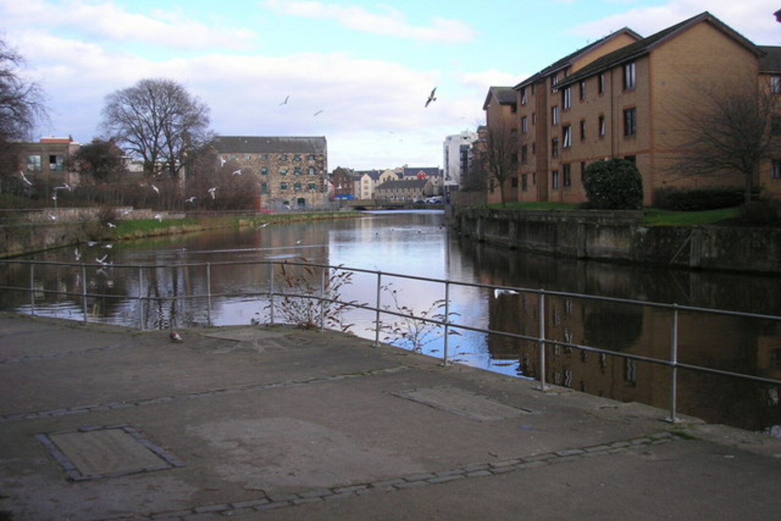
Look around first
What to notice
- Retaining walls
- Water of Leith riverbed
- Narrow passage between the river and the slope
- Pedestrian path
The story of the place
Retaining walls and old waterworks left only a narrow strip of land between the riverbed and the slope. The path for pedestrians and cyclists now runs along it. This bank preserves traces of former businesses; it was cleared by people hired under a government temporary-employment program. Today, the city looks after the surface and structures, while staff and volunteers from an environmental trust care for the river and its banks.
This path along the Water of Leith was begun in the nineteen seventies by Edinburgh entrepreneur Meyer Oppenheim, who set out to turn the riverbanks into a public route through the city. At the time, the river was heavily polluted and silted up, and it was impossible to travel along it from Balerno to the port of Leith: industrial sites, the railway, and closed properties broke up the route.
Oppenheim made his money trading furniture and developing real estate. He gave part of that money to the Water of Leith Walkway Trust, a charitable trust he founded. He campaigned for uninterrupted access along the river for city residents. The idea had existed since nineteen forty-nine, but the first construction work began only twenty-four years later.
The path was laid out in separate sections. The stretch near Dean Village was completed in nineteen seventy-seven. It was built by people given temporary work under a government job-creation program. They cleared and linked the bank where former businesses had left retaining walls, waterworks, and narrow passages between the slope and the river.
In nineteen eighty-one, part of the route had already opened to the public. Oppenheim lived to see people using the path for which he had founded the trust, and he died the following year. Another two decades remained before there was a continuous route from Balerno to Leith. Funding from a program tied to the start of the new millennium made it possible to complete it in two thousand two.
Today, the Water of Leith Walkway is an approximately twenty-kilometer pedestrian and cycling route. City department staff are responsible for the surface and structures, while staff and volunteers from an environmental trust clean the river and its banks. From the former mill village, the route continues toward Stockbridge; beneath your feet is one of the early sections, completed during Oppenheim's lifetime.
Useful on site
The path is free and open around the clock; individual sections close for repairs or after flooding.
Checked: June 17, 2026. Check the official source before visiting.Pedestrians and cyclists share the path, so keep to a predictable side and listen for signals. Slow down on wet stones and soil.