 Guide On Map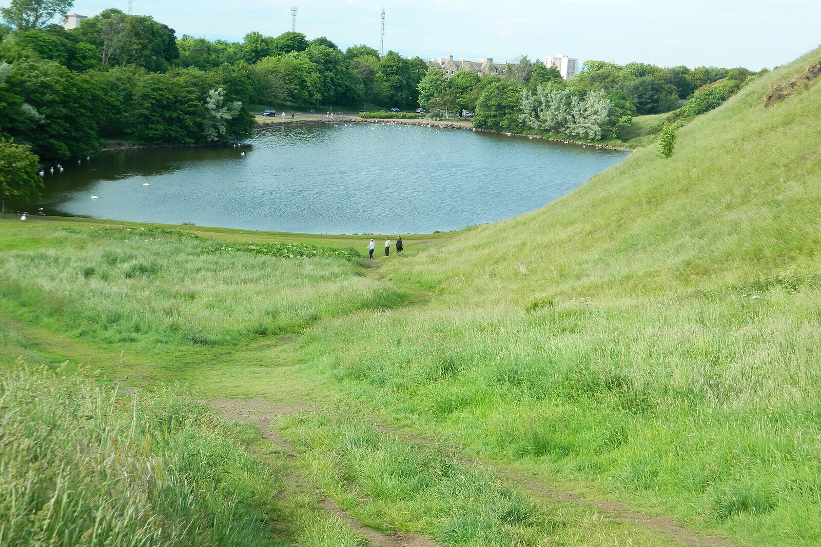
Look around first
What to notice
- Surviving north wall
- Remains of stone vaults
- Rocky outcrop
- St Margaret's Loch
The story of the place
The north wall of St Anthony's Chapel survives on the rocky outcrop; when it was active, a tower rose behind it, and inside there were three short bays beneath vaults. A paved road led to the chapel, a holy spring flowed nearby, and an enclosure separated the site from cultivated fields. The monks of Kelso Abbey administered the land on the slope, chaplains conducted services, and the later account of a hermit's cell remains a tradition. The water below appeared much later: the former marshy lowlands were turned into an artificial loch for boating, skating, and curling.
In fourteen twenty-six, the people responsible for the chapel on the rock asked Pope Martin V to help raise funds for repairs. They received no money from Rome. The pope allowed indulgences to be granted to those who donated toward the work. For a medieval pilgrim, this meant a reduction in the Church's penalty for sins already confessed. A person gave up money, the chapel received stone, roofing, and liturgical furnishings, and the Church promised to take that contribution into account.
In the papal document, the chapel is already described as a well-known place of pilgrimage. Especially many people climbed here on St Anthony's Day, Good Friday, and the Feast of the Exaltation of the Cross. The road to the chapel was paved, a holy spring stood nearby, and a wall enclosed the whole site. Cultivated fields lay around it. The present solitary fragment among the grass gives a rather poor impression of the medieval scene.
The chapel was dedicated to Saint Anthony of Egypt, a hermit of the third and fourth centuries whose way of life became an example for the first monastic communities. It is often repeated that the building belonged to St Anthony's Hospital, Leith, where people with skin diseases were cared for. Researchers have found no documentary connection. The monks of Kelso Abbey administered the land here, while chaplains served the chapel itself. Sources do not say why they chose Anthony in particular.
Something else has survived instead: the royal treasury books. James III of Scotland and James IV of Scotland took part in pilgrimages here. Between fifteen oh one and fifteen twelve, James IV of Scotland's treasurers recorded from two to eight royal donations a year. The king joined a ritual used by townspeople and paid from his treasury on the same terms. The chapel continued to receive processions; its last chaplain is mentioned in fifteen eighty-one. After that, records of services disappear. By the middle of the eighteenth century, travelers were already describing a ruined building.
Of the former complex, the north wall has survived best. When the chapel was active, a western tower structure stood behind it, and three short bays lay beneath the vaults. A small service building stood nearby; only later tradition allows it to be called a hermit's cell. The tower, enclosure, and part of the vaulting have disappeared, so the exposed wall shows only one edge of the space where pilgrims brought their donations.
There was no water below the chapel then. St Margaret's Loch appeared in eighteen fifty-six. When Queen Victoria and her husband Prince Albert first came here in eighteen forty-two, the city's drains emptied into the marshy lowlands of the park. Albert, the Prince Consort and the overseer of changes around the royal residence, wanted to open this area for urban recreation. Under his plan, workers drained the marshes, laid roads, and created two artificial lochs, including the present one.
The new loch was intended for boating, and in winter townspeople skated here and played curling. Its name recalled Saint Margaret of Scotland, an eleventh-century queen and church reformer, the mother of David I of Scotland, founder of Holyrood Abbey. A medieval tradition claimed that David received from his mother the relic of the Holy Cross that gave Holyrood its name. Margaret herself had no connection with the water: the loch was created seven and a half centuries after her death.
In a photograph taken around eighteen eighty, skaters are already crossing the artificial loch, while the same north wall of the chapel stands behind them. Medieval pilgrims climbed toward it up a dry slope; the water below was added for townspeople's recreation three centuries after the last chaplain documented here.
Useful on site
Around the clock; the park is always open
Checked: July 11, 2026. Check the official source before visiting.The climb to the ruins can be slippery and uneven. Do not climb on the chapel walls or disturb birds by the water; the miniature coffins are not here but in a museum.