 Guide On Map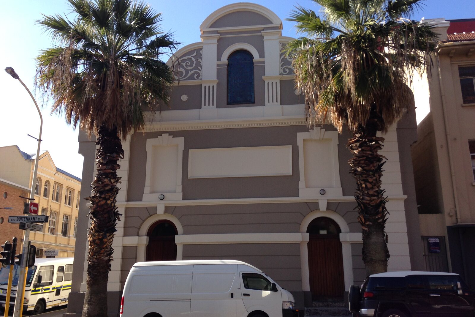
Look around first
What to notice
- Map of the streets on the floor
- Column made of street signs
- Hall of the former Central Methodist Mission Church
The story of the place
In nineteen ninety-four, Sandra Prosalendis, the first director of the future District Six Museum, entered the vacant Central Methodist Mission Church. She had to turn gatherings of former residents into a real museum and find funding for it. The premises already existed; the collection did not yet exist.
The district was called District Six in eighteen sixty-seven: Cape Town was then divided into municipal districts, and this one received number six. In nineteen sixty-six, the apartheid government declared it an area for white people. More than sixty thousand residents were forcibly moved to the outskirts of Cape Town. Homes, shops, and entire streets were demolished. Many places of worship were left standing, so this church survived as well. When the parishioners were scattered among different districts, the Methodists combined two urban congregations elsewhere, and the building on Buitenkant Street stood empty.
Prosalendis read in a newspaper about a man who had kept old District Six street signs. It turned out that he had led the team that demolished the district. He had been ordered to haul away the rubble and dump it in the sea. Demolition was his job, but he secretly took dozens of enamel signs home and hid them in the basement.
For more than twenty years, he showed them to no one. He feared that the state would learn of the disobeyed order, and at the same time he feared the former residents: to them, he remained the man who had led the destruction of their homes. Prosalendis tracked him down and came with one of the trustees of the museum fund. The owner showed them the basement but refused to give up the signs. They came again. After several meetings, he and his wife finally decided to donate the collection to the museum.
Seventy-five signs were hung in the former church, and artists drew a map of the streets on the floor as they had been before demolition. On December tenth, nineteen ninety-four, the organizers opened the exhibition Streets: Retracing District Six. Former residents began adding surnames, schools, bus stops, and the places where their homes had stood to the map. In this way, visitors began adding to the collection information that appeared neither on the official plan nor on the museum labels.
The exhibition was meant to close after two weeks. Because of the influx of visitors, it was kept open and became the basis of the permanent exhibition. The inscribed map still lies in the middle of the former church hall. Above it, a four-sided column made of old street signs rises to the ceiling. The order to throw them into the sea was never carried out.
Useful on site
Official website: 09:00 to 16:00, Monday–Saturday; booking is stated to be compulsory.
Checked: July 1, 2026. Check the official source before visiting.The main attraction is inside, so a full stop requires a museum visit. Do not step onto the map absent-mindedly: look at it as a shared archive of addresses.