 Guide On Map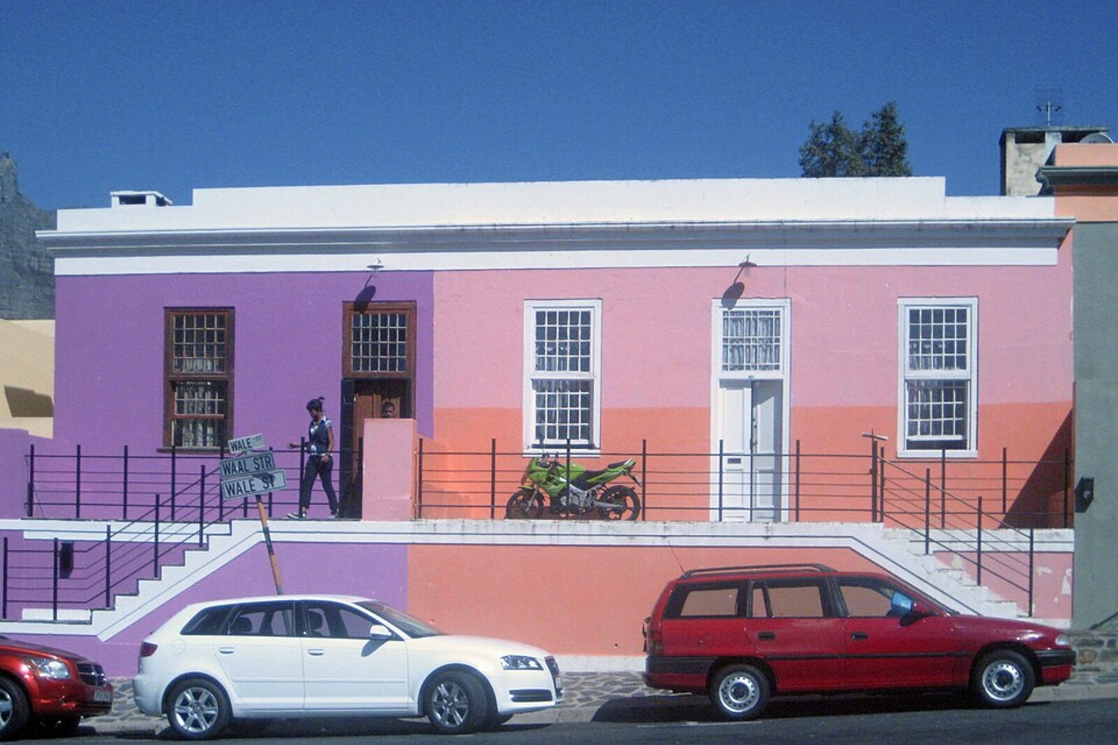
Look around first
What to notice
- The line of broad Buitengracht Street
- Multi-story buildings on the side toward the center
- Low houses higher up the slope
The story of the place
Broad Buitengracht Street follows the line of a canal that marked the northwestern edge of colonial Cape Town in seventeen seventy-two. At first it was called the New Canal, then the Outer Canal: beyond the water, the city ended at that time. Later, streets and houses crossed this boundary and climbed the slope, while the canal itself disappeared from the streetscape. The tall buildings of the center remained on one side of the road, and the low residential rows of Bo-Kaap begin higher up.
By nineteen forty-one, the Cape Town City Council had already expropriated about one hundred fifty houses on the slope above Buitengracht Street. Officials considered the neighborhood a slum and were preparing a major redevelopment. Modest-income families of artisans, traders, and wage workers lived here; being close to the center allowed them to walk to their jobs. Demolition meant losing both their homes and that proximity.
Two years later, the Afrikaner writer and researcher I. D. du Plessis became one of the leaders of the Malay Quarter Preservation Group. He secured the intervention of the Historical Monuments Commission, and the clearance was halted. Seventeen houses were selected for restoration; the work was completed by nineteen fifty.
The line for the future boundary was found here as well. As early as seventeen seventy-two, a canal was dug here, marking the northwestern edge of colonial Cape Town. At first it was called the New Canal, and by seventeen ninety it was called Buitengracht Canal, meaning the Outer Canal. Later, the city crossed it and climbed the slope, but the old name remained.
In the early nineteen fifties, du Plessis became Commissioner for Coloured Affairs and moved his campaign into state institutions. He wanted to preserve the façades and place within them a uniform community that officials called Cape Malays. This category included some of Cape Town's Muslims; it did not mean ancestry exclusively from Malaysia, nor did it coincide with all of the city's Muslims.
In nineteen fifty-seven, du Plessis secured Bo-Kaap's designation as a “Malay group area” under apartheid law. From nineteen sixty-two onward, only people recorded in the prescribed category were permitted to own property here. Yet a survey from nineteen forty-six showed a very different neighborhood: officials classified about forty percent of residents as “Malays,” thirty-one percent as Africans, twenty-seven percent as Coloured Christians, and the rest as Indians. Some Christian, African, and Indian families were forcibly moved to Gugulethu, Mitchells Plain, and other areas. Families recognized as “Malay” were able to remain near the center, while the old rows of houses escaped mass demolition.
The canal is no longer visible at the surface. Broad Buitengracht Street follows its line: multi-story buildings stand on the side toward the center, while the low houses of Bo-Kaap begin higher up the slope. The houses were preserved after du Plessis's campaign; some of the families living among them were not allowed to remain here.
Useful on site
Open street; best visited during daylight hours.
Checked: July 1, 2026. Check the official source before visiting.Listen where you do not obstruct pedestrian traffic; cross the street only at a designated crossing. The historic canal lies hidden beneath the modern road.