 Guide On Map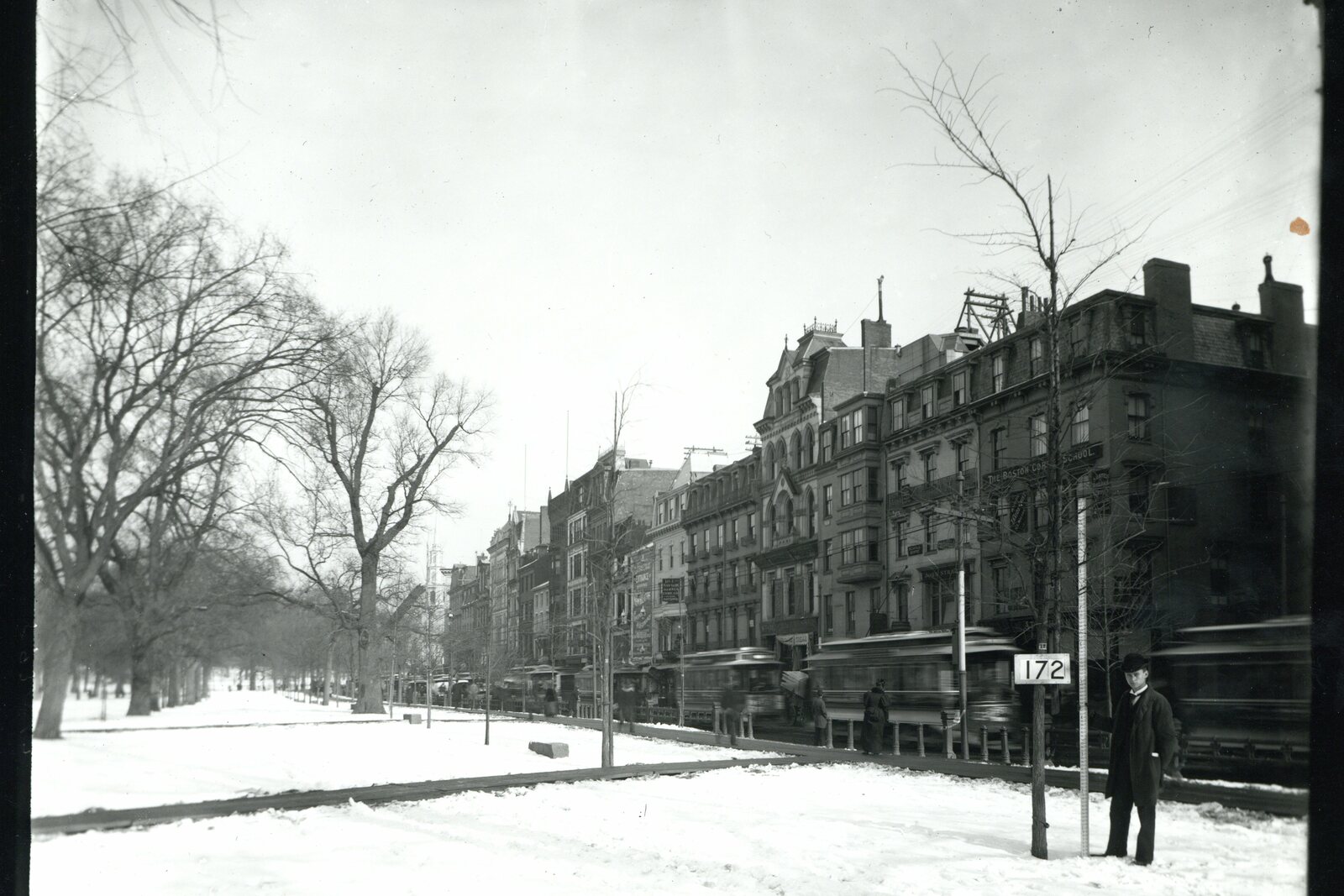
Look around first
What to notice
- Open lawn
- Charles Street
- Boston Public Garden
The story of the place
Today's broad lawn preserves the space of the Common that townspeople bought in sixteen thirty-four by collecting six shillings from every house. The plot was left as a common pasture: livestock was brought here, and the town militia trained here as well. The field's western edge once reached the tidal waters of Charles Bay. Charles Street now runs along it, and Boston Public Garden has been laid out where the water once lapped.
At around ten in the evening on April eighteenth, seventeen seventy-five, British grenadiers, marines, and light infantry began gathering on Boston Common from different barracks. They were professional soldiers paid by the Crown. They were told that a drill lay ahead; the commanders received the real order only just before setting out.
The Common was still an open field then. In sixteen thirty-four, residents levied six shillings on every town house and bought William Blackstone's land here. It was set aside as a common pasture—hence the word “Common.” Livestock grazed on the grass, and the town militia trained there. The field's western edge sloped down to the tidal waters of Charles Bay.
General Thomas Gage, the military governor of Massachusetts and commander of the British garrison, chose this field for a secret operation. He wanted to deprive his opponents of weapons before they decided to use them. Lieutenant Colonel Francis Smith was to take more than eight hundred soldiers across the bay, march to Concord, and destroy the cannon, gunpowder, tents, and provisions gathered there. Gage ordered them to go by water so the column would not pass through Boston's streets in view of the townspeople.
The gathering on the open Common could not be concealed. Observers saw the soldiers and informed Dr. Joseph Warren, the leader of Boston's resistance network: he needed to warn the owners of the stores and the local militia. Warren sent two couriers he knew—silversmith Paul Revere and tanner William Dawes. They earned their living by their trades, and that night they tried to get past British patrols. Revere was later detained, stripped of his horse, and threatened with being shot, but by then other messengers were already spreading the alarm through the surrounding towns.
At the water's edge, Smith discovered another problem: the sailors had sent boats for only half the detachment. The remaining soldiers waited right here for about two hours for the boats to return. On the other shore, the infantrymen landed in tidal mud and in places waded through water nearly waist-deep. Only after one in the morning could the soaked column set out toward Lexington and Concord. The secret operation was already lagging behind the alarm Warren had raised.
In the morning, the soldiers encountered the militia that had gathered. Shooting began, and then the British had to retreat under attack along the whole road. Smith was shot in the thigh; he was carried in a carriage while wounded rank-and-file soldiers walked. By evening, dozens of participants in the expedition had been killed, and hundreds were wounded or missing. The survivors returned toward Boston, around which armed New England detachments were already gathering. The siege lasted eleven months and ended with the departure of the British garrison.
The shore from which Smith's boats set off that night no longer exists. Charles Street now runs along the western boundary of Boston Common, and Boston Public Garden lies beyond it. In seventeen seventy-five, tidal water stood where the garden is now.
Useful on site
Park 6:30-23:00; pedestrian access 24/7.
Checked: June 28, 2026. Check the official source before visiting.No entry is required; choose a spot away from the paths, and remember that the gallows and the Great Elm have not survived.