 Guide On Map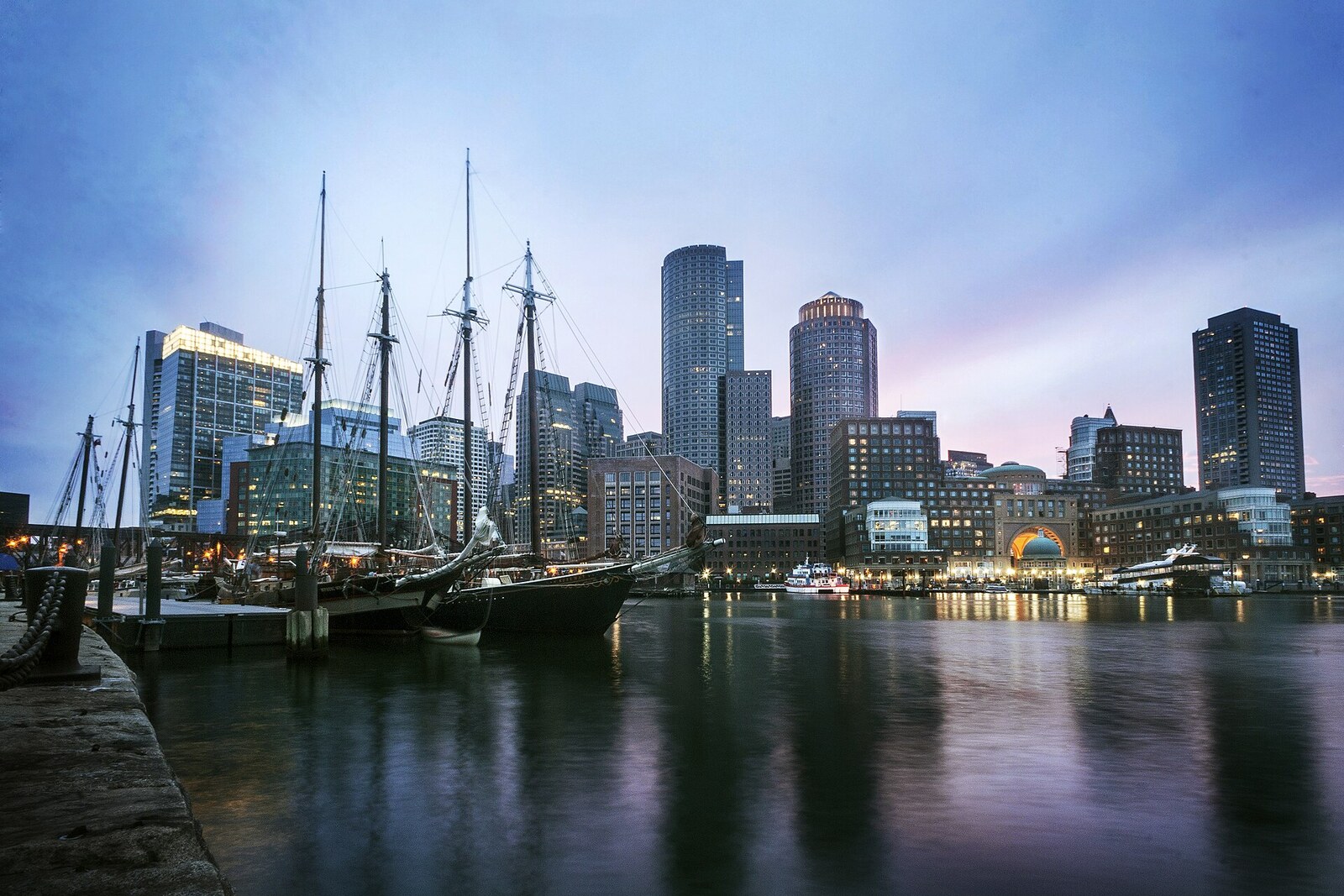
Look around first
What to notice
- Lawn by the water
- Walking path
- Floating docks
- Filled piers
The story of the place
“Fan” in the park's name is not a surname. It describes the pattern of the railroad tracks: right by the harbor, they fanned out toward the piers.
Until the nineteenth century, this was the South Boston Flats—shallow water and salt marsh that the tide covered with water. In eighteen sixty-nine, the Boston Wharf Company, an association of shipowners that made money from warehouses and piers, sold twenty-five acres of what would become Fan Pier to the Boston, Hartford and Erie Railroad. The buyers needed a freight terminal where the contents of a railcar could be transferred directly to a ship.
The company did not have time to build it. It went bankrupt, came under the control of its creditors, and lost the parcel: the land returned to the seller. But the plan to connect rails with deepwater piers remained profitable. In eighteen seventy-three, the state of Massachusetts, the city of Boston, the Boston Wharf Company, and the Boston and Albany Railroad agreed to divide the work. The state built seawalls and filled the site of the first pier, private companies filled the neighboring flats with soil from the harbor, and the city laid out bridges and streets.
By the turn of the century, both piers had passed to the New York, New Haven and Hartford Railroad, known as the New York, New Haven and Hartford Railroad. Its employees ran tracks from a common throat to different ship berths. On a map from nineteen oh three, this fan is especially clear. Coal, wool, hides, and cotton were unloaded from ships; railcars then carried them to shoe factories, textile plants, and city warehouses. The entire South Boston terminal could hold six hundred railcars on its tracks and handle up to one thousand three hundred fifty a day.
The New York, New Haven and Hartford Railroad had expanded too broadly and taken on debts. Its first bankruptcy came in nineteen thirty-five and its second in nineteen sixty-one. After that, the rails were dismantled, and the former freight terminal was turned into parking lots. Not a single track of the fan remained; only the name Fan Pier preserved it.
In two thousand five, Boston developer Joseph Fallon and financial partners paid one hundred fifteen million dollars for twenty-one acres. He intended to replace the parking lots with nine blocks of housing and offices. Because construction would take place on former tidal land, the state tied building permits to specific obligations by the water. The developer had to open a twenty-four-hour public park, complete the continuous Harborwalk, and provide at least ten spaces for short-term boat mooring.
The lawn, waterfront path, and marina docks appeared as part of these conditions. They occupy the filled land of the first and second freight piers: where railcars once fanned out toward ships, the pedestrian waterfront promenade and floating docks now fan out.
Useful on site
Open waterfront and park area; comfort and access depend on weather, events, and temporary work.
Checked: June 30, 2026. Check the official source before visiting.Stay on the marked public passage and do not enter the marina's service areas; strong gusts of wind are possible by the water.