 Guide On Map
Kronstadt: A Naval Fortress and a City of the Fleet
From Blue Bridge through Petrovsky Dock to Anchor Square and the Admiralty
Guide On Map on your phone
Open the walk like a regular app
It takes about 10 seconds to install. No app store needed.
The whole path
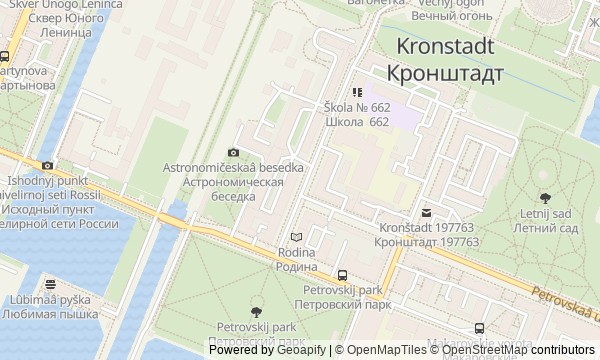
Route map
About the walk
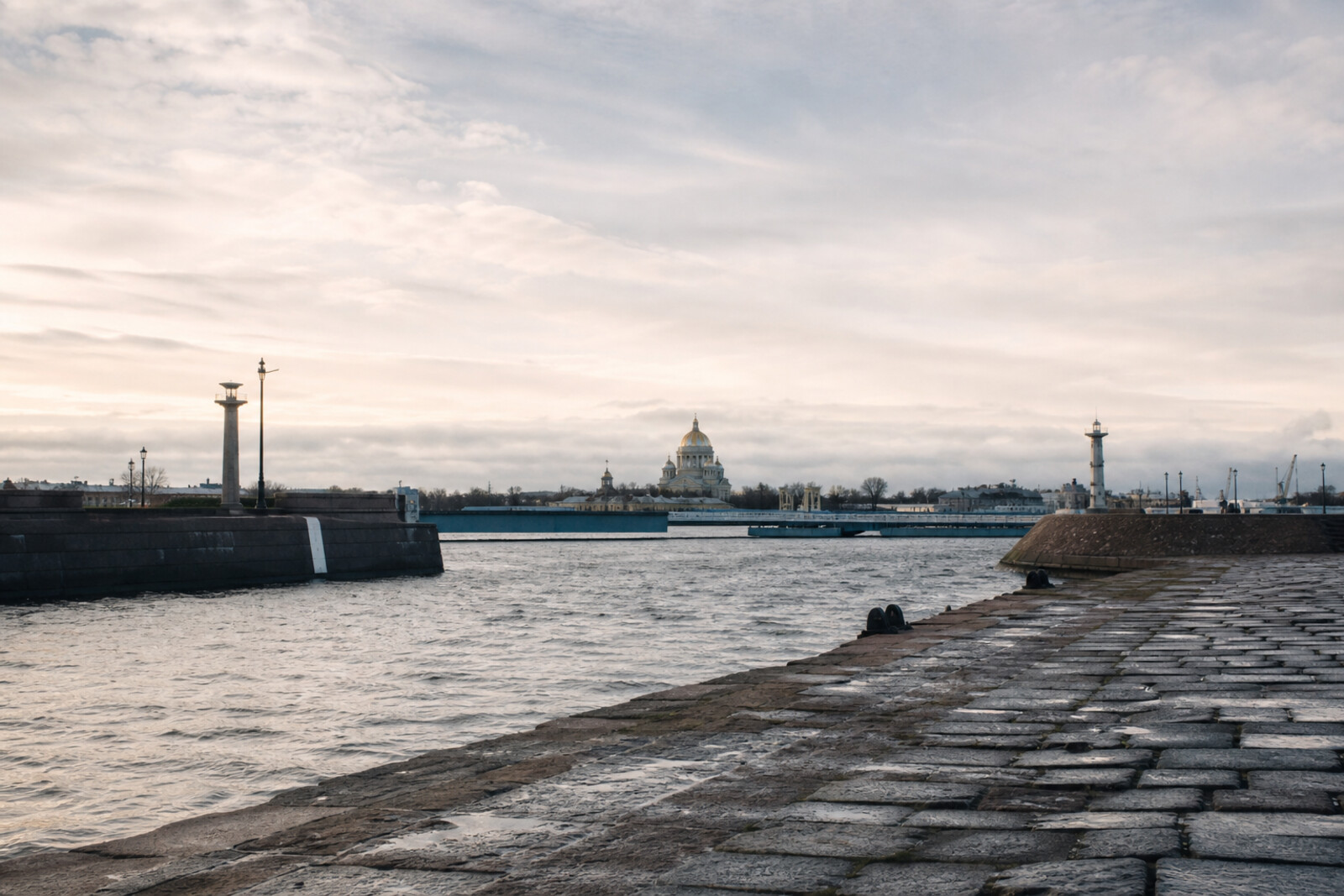
You will walk through southern Kronstadt—from Blue Bridge and the harbor basin to the dock, the pier, Anchor Square, and the brick buildings of the Kronstadt Admiralty. Water will stay close almost the entire way: beneath the staff of the Kronstadt Tide Gauge, in the pond, in the dock chamber, beyond the granite wall of the pier, and in the canal around the warehouses.
This is a walk through a city built as the working base of the Baltic Fleet. Here, they measured the sea, drained a ship dock, tested a steam engine, and blocked shipping channels with underwater charges. But the turns in the story will remain for the stops themselves. You will learn why four hundred people crossed the new bridge in step, and how an error in the zero mark could leave a ship with less water beneath its keel. Another question will arise in the square: how did a decision at a rally lead to the storming of the fortress?
The story rests on documents, objects, and human decisions. It separates what is verified from the city version. By the end, you will connect the Kronstadt Datum, the dock, the forts, the square, and the Admiralty—and be able to explain why a naval fortress depended on more than guns.
Why this order
Blue Bridge sets the starting point: the level of the Baltic Sea. A few steps away, water gathers in Italian Pond, so after measuring the sea comes the port's first task: the route through the gulf. The eastern edge of the pond meets the canal of Petrovsky Dock; the next stop shows what happened to a ship after it arrived. Beyond the dock begins Petrovsky Park, and its avenue leads to Petrovskaya Pier, where the harbor and the forts on the shipping channels come into view at once. From the pier, the direct route to Anchor Square crosses Makarov Bridge, built specifically for this passage. Beyond the bridge, first see the square as a place for fleet gatherings, then enter its principal memorial, the Naval Cathedral of St Nicholas. The finale stands on the opposite side of the square: the walls of the Kronstadt Admiralty and Obvodny Canal complete the story of the transfer that never took place from St Petersburg.
Those who want to understand Kronstadt as a city built for the fleet Lovers of engineering and naval history Those who value documents, visible traces, and honest caveats
Those looking only for ceremonial views and easy legends Those uninterested in docks, measurements, and how a port works
Before you go
Most of the story is accessible from outside, but visiting Italian Palace, the grounds of Petrovsky Dock, and the interior of the Naval Cathedral of St Nicholas depends on their current opening arrangements. Check access just before your trip; arrange tours and museum admission separately if needed. Wear shoes suitable for stone paving, bridges, and extended walking, and bring protection from wind and rain: weather by the harbor feels noticeably harsher than inside the city blocks. Binoculars or a camera with zoom will help with the line of forts. By the water and dock structures, stay on permitted paths, do not go beyond barriers, and do not try to get closer to technical elements for a photograph.
When to go
Allow about four hours to follow the route in sequence without rushing. Visiting one or more interiors may extend the walk to about five hours. It is most convenient to start in the first half of the day, so you can view the dock, harbor, and forts in natural light and leave time for possible queues or a detour around a closed section.
Backup plan
If the palace is closed, keep the stop at Italian Pond: the outdoor story of the pier, the steamship, and the naval school still makes sense without the interior. View a closed Petrovsky Dock only from the publicly accessible side, and do not look for unofficial entrances. In strong wind or slanting rain, shorten your time at Winter Pier, focusing on the Tsushima Memorial and the overall silhouette of the forts. If the cathedral is inaccessible, finish this stop at the Monument to Stepan Makarov and continue to the Kronstadt Admiralty. The fully outdoor version preserves the route's entire logic and usually takes about three hours.
Route conditions
Surface. Paved — 2 km; unpaved — 47 m (data covers 74% of the route)
Stairs. Flights: 1, 9 m in total
Access. Wheelchair — no; stroller — limited (stairs)
Facilities. Toilets — 2
Elevation. Ascent — 16 m; descent — 17 m
OpenStreetMap extract of July 4, 2026: database data, not a check on the ground. Data © OpenStreetMap contributors, ODbL licence
Walk plan
Open in maps ↗- 1
Blue Bridge and the Kronstadt Tide Gauge
Here you will find the reference point that linked sea depths with elevations on land. - 2
Italian Pond and the Italian Palace
This stop will connect the inner harbour with Russia's first regular steamship line. - 3
Petrovsky Dock
You will understand the system that made it possible to begin repairing a ship without waiting for the pumps to finish their lengthy work. - 4
Petrovsky Park and Petrovskaya Pier
The waterfront panorama links the monument to the city’s founder with the defense of the channels between the forts. - 5
Makarov Bridge
You will learn why the crossing built for an imperial visit was named after a fallen admiral. - 6
Anchor Square
Here, the decision of a large public meeting will grow into an armed uprising and an assault on the fortress. - 7
Naval Cathedral of St Nicholas
You will see the church as a memorial to sailors listing them by name and trace the fate of the lost lists. - 8
Kronstadt Admiralty and Obvodny Canal
The walk concludes with a state-ordered relocation that managed to turn into warehouses and factories but was never completed.
Route features
Everything you need stays in the browser
Progress, saves and your trip plan are stored on this device.
Add Guide On Map to your home screen so the walk opens outside the browser.
How we handle sources, maps and corrections: our editorial standards