 Guide On Map
Lapa and Santa Teresa: The Road Uphill
From Carioca Aqueduct (Lapa Arches) to Largo dos Guimarães
Guide On Map on your phone
Open the walk like a regular app
It takes about 10 seconds to install. No app store needed.
The whole path
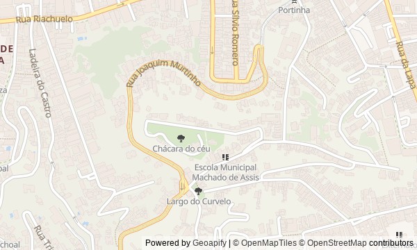
Route map
About the walk
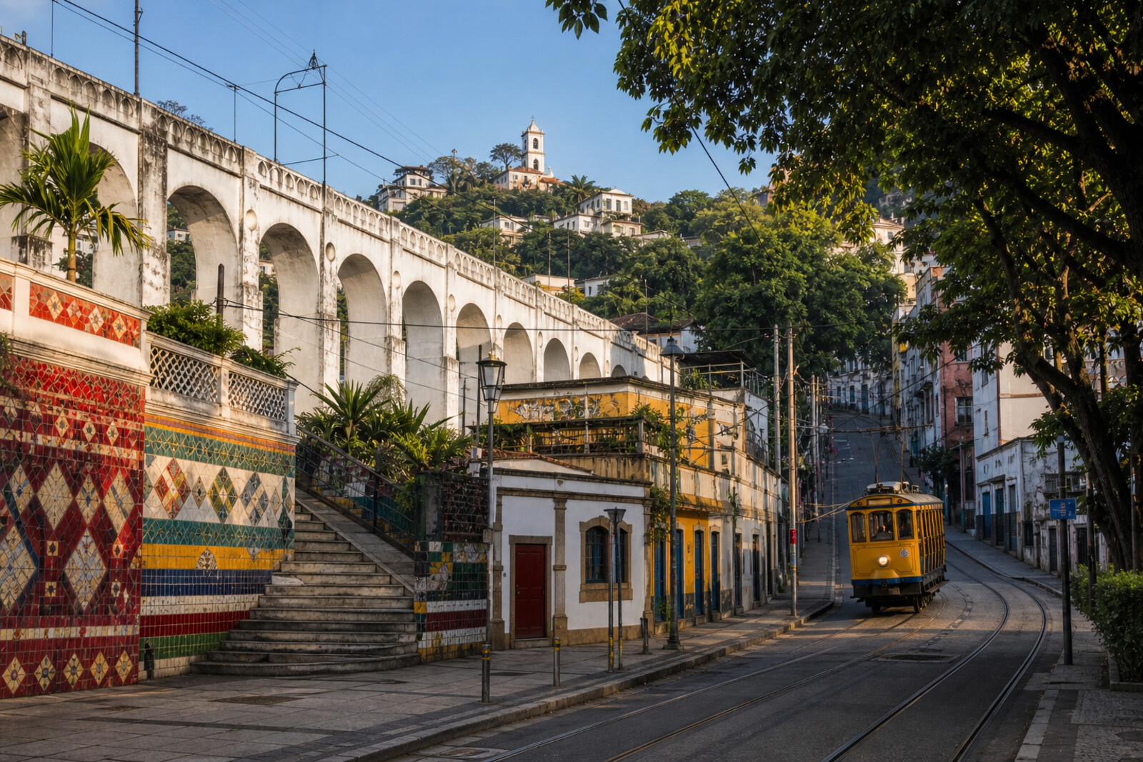
You will begin beneath Lapa’s stone arcade and climb the colorful stairway onto the slopes of Santa Teresa. From there, the route runs between the open walls of a mansion, a collector’s home, and squares where the rails become part of the street.
Questions will surface along the way. Why did the artist take apart a completed mosaic and make it again? What connects a salon to a score that reached Paris? And why was a new house built so that it would have almost no short walls?
The story follows human decisions and the traces they left behind: tiles, windows, rails, and the names of squares. This is not a general survey of the bohemian neighborhood or a postcard standing in for a story.
By the end, you will be able to explain how water, art, private fortunes, and the tram together turned the slopes of Santa Teresa into an urban neighborhood.
Why this order
The arches establish the route’s main direction: a structure built to carry water downhill becomes a road uphill. Escadaria Selarón continues that climb as a city street, leading out of Lapa and onto the slopes of Santa Teresa. Higher up stand two neighboring houses with opposite fates: Laurinda’s mansion survives as open walls, while Raymundo Ottoni de Castro Maya’s residence has kept its rooms and collection. After them, the way to Largo do Curvelo returns the story to the tram tracks first seen on the arches, now showing the cost of moving along a steep slope. Following those same rails, the route reaches Largo dos Guimarães, where it becomes clear that transport did more than connect the hill with downtown: land was sold and a neighborhood created in the wake of the roads.
Those who want to see Rio beyond its beaches and panoramic lookouts Those interested in stories of urban transformation and private উদ্যোগ Those who enjoy routes with a noticeable change in elevation
Those not ready for a long climb up stairs and steep streets Those looking for a walk only along a flat waterfront Those seeking an overview of all of Rio’s main sights
Before you go
Wear shoes with sturdy soles: the stairway, slopes, and cobblestones can be slippery after rain. Start in daylight, and check in advance whether Parque Glória Maria and Museu da Chácara do Céu are open; a museum visit should be planned separately from the walk itself. Also check the current Santa Teresa Tram service if you want to combine the route with a ride. Do not linger on the tracks or near traffic for photographs, and keep an eye on your belongings on the busy stairway.
When to go
2–3 hours
Backup plan
If the park or museum is closed, do not rebuild the whole route: take in the street-facing facades, walls, and greenery around the two estates, then continue toward Curvelo. If tram service is suspended, the squares and rails still make it possible to read the neighborhood’s transport history, but you will need to leave out the ride. In heavy rain, it is wiser to postpone the walk: wet steps and cobbled descents make the climb less safe, while the views and open spaces of the ruins lose a significant part of their effect.
Route conditions
Surface. Paved — 1.1 km (data covers 57% of the route)
Stairs. Flights: 2, 144 m in total
Access. Wheelchair — no; stroller — limited (stairs)
Facilities. Toilets — 2
Elevation. Ascent — 112 m; descent — 13 m
OpenStreetMap extract of June 18, 2026: database data, not a check on the ground. Data © OpenStreetMap contributors, ODbL licence
Walk plan
Open in maps ↗- 1
Carioca Aqueduct (Lapa Arches)
Here the story of the climb up the hill begins, and the first change in the purpose of an urban structure becomes visible. - 2
Escadaria Selarón
This stop will show how one person's work became a city street and a protected work. - 3
Parque Glória Maria
Here, a private salon will link music from the beginning of the last century with a contemporary cultural space. - 4
Museu da Chácara do Céu
This stop will explain how the collector prepared his house in advance for its transformation into a museum. - 5
Largo do Curvelo
Here, the tram's story will shift from the convenience of the climb to the cost of a technical error and a long restoration. - 6
Largo dos Guimarães
The final stop brings together the road, the tram, and the estate divided into plots.
Route features
Everything you need stays in the browser
Progress, saves and your trip plan are stored on this device.
Add Guide On Map to your home screen so the walk opens outside the browser.
How we handle sources, maps and corrections: our editorial standards