 Guide On Map
How the Garden District Was Built
From the tracks of St. Charles Avenue to the market on Magazine Street
Guide On Map on your phone
Open the walk like a regular app
It takes about 10 seconds to install. No app store needed.
The whole path
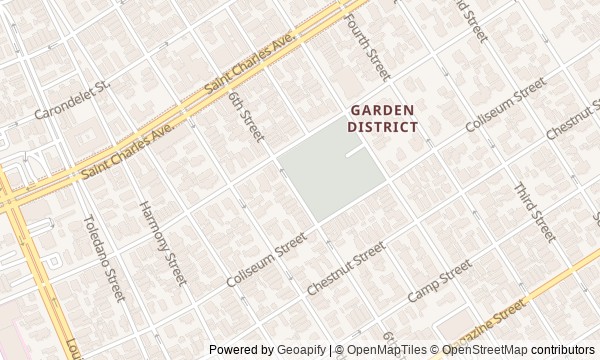
Route map
About the walk
You will walk from the streetcar tracks on St. Charles Avenue through the Garden District to the former market on Magazine Street. The route passes beneath oaks, by a restaurant, the closed gates of a cemetery, private villas, and a building where a roller rink shares its roof with shops and parking.
This is not a parade of mansions, nor a walk through the French Quarter. The neighborhood will take shape through deals, debts, and remakes. Why are the tracks here older than the avenue? Why did a villa owner need a cornstalk fence? How did an unpaid military order cost a family its home? And what did a restaurant dish do to fish in the Gulf of Mexico?
The story will test handsome legends against catalogs, newspapers, and city decisions. It follows who made money from land, food, and retail space, and who paid the price. By the end, you will see the Garden District not as a finished set: its tracks, fences, galleries, and shops will remain as evidence of other people's calculations.
Why this order
First, the tracks explain why development appeared here in the first place. Washington Avenue leads from the railroad-made suburb to a restaurant where a family business sought profit anew, while the municipal cemetery across the street shows another cost of the city's growth. From its gates, Prytania Street links two private estates: one was taken away and returned, while the owners of the other lost it over an unpaid order. The return along Prytania Street brings you to The Rink, where an old building was adapted to new commerce. From here, Washington Avenue leads to Magazine Street: the story of one remade complex continues with that of an entire commercial district that outlived the market around which it grew.
Those interested in the history of urban real estate and commerce Those who enjoy human stories behind mansion facades Those who want to see New Orleans beyond the French Quarter
Those looking only for a parade of architectural styles Those who do not want to hear about an epidemic and burials Those who care more about interiors than the history of streets and private homes
Before you go
Do not expect to enter Lafayette Cemetery No. 1: on this walk, its meaning emerges at the closed gates, through the visible tombs and the story of a surviving burial record. Colonel Short's Villa and Toby's House are viewed only from the public sidewalk—do not go beyond the fences or linger at private entrances. Commander's Palace can be understood from outside; if you want to add a restaurant visit to the route, plan it separately rather than mixing it into the pace of the walk. At The Rink, look for the preserved volume and old structural elements, but do not expect to see a restored roller rink. Bring water and leave room in your schedule: long audio stories are best heard without rushing or blocking the way.
When to go
Choose daylight hours, when the cast-iron ornament, cemetery gates, brick supports, and facade alterations are easy to read. On a hot day, it makes more sense to set out in the morning or closer to evening: much of the experience depends on quiet observation from the street.
Backup plan
If work blocks the view at the cemetery, do not look for an unofficial entrance or spend time circling the entire wall: listen to the story at the gates, then move on to the restaurant across the street. In rain or severe heat, the route is easy to shorten after The Rink, leaving Toby's House and Magazine Street for a separate walk. If traffic makes listening difficult on St. Charles Avenue, step back from the roadway while keeping the streetcar and tracks in view. A closed door or occupied commercial space does not cancel the stop: every key detail of the route can be seen from outside.
Route conditions
Surface. Paved — 2.3 km (data covers 97% of the route)
Facilities. Drinking water — 1
Elevation. Ascent — 3 m; descent — 2 m
OpenStreetMap extract of June 25, 2026: database data, not a check on the ground. Data © OpenStreetMap contributors, ODbL licence
Walk plan
Open in maps ↗- 1
St. Charles Avenue
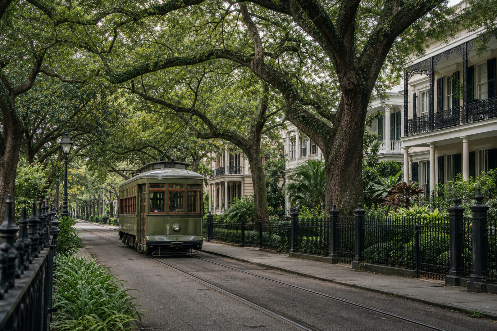
Here you will see how transportation turned former plantation land into an expensive suburb. - 2
Commander's Palace
A family quarrel leads here to the story of a restaurant that was saved and the unexpected cost of a culinary trend. - 3
Lafayette Cemetery No. 1
This stop will show how the city's burial system could not cope with a single day of an epidemic. - 4
Colonel Short's Villa
A private house connects the wealth of the cotton trade with wartime confiscation and the return of property. - 5
Toby's House
The district's oldest surviving residence preserves the memory of a military contract that ruined its owner's family. - 6
The Rink
The former skating rink reveals the compromises that made it possible to bring a repeatedly remodeled building back to life. - 7
Magazine Street
The finale will explain why commerce remained on these blocks after the public market disappeared.
Route features
Everything you need stays in the browser
Progress, saves and your trip plan are stored on this device.
Add Guide On Map to your home screen so the walk opens outside the browser.
How we handle sources, maps and corrections: our editorial standards