 Guide On Map
Coyoacán: the old center from Viveros de Coyoacán to Casa Azul
Along Avenida Francisco Sosa, through parish squares and the market
Guide On Map on your phone
Open the walk like a regular app
It takes about 10 seconds to install. No app store needed.
The whole path
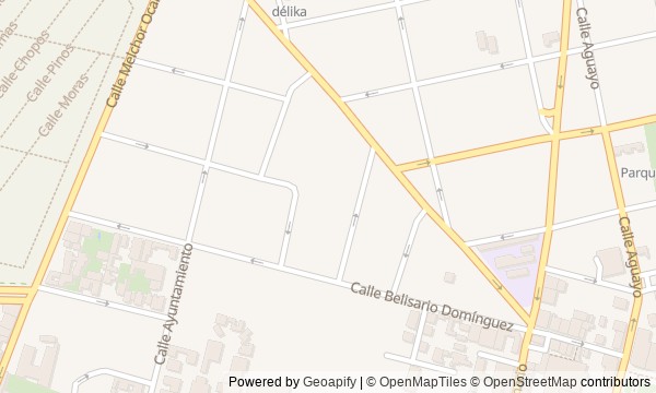
Route map
About the walk
You will begin among the neat rows of trees in Viveros de Coyoacán, then head out along the old road toward the center of Coyoacán.
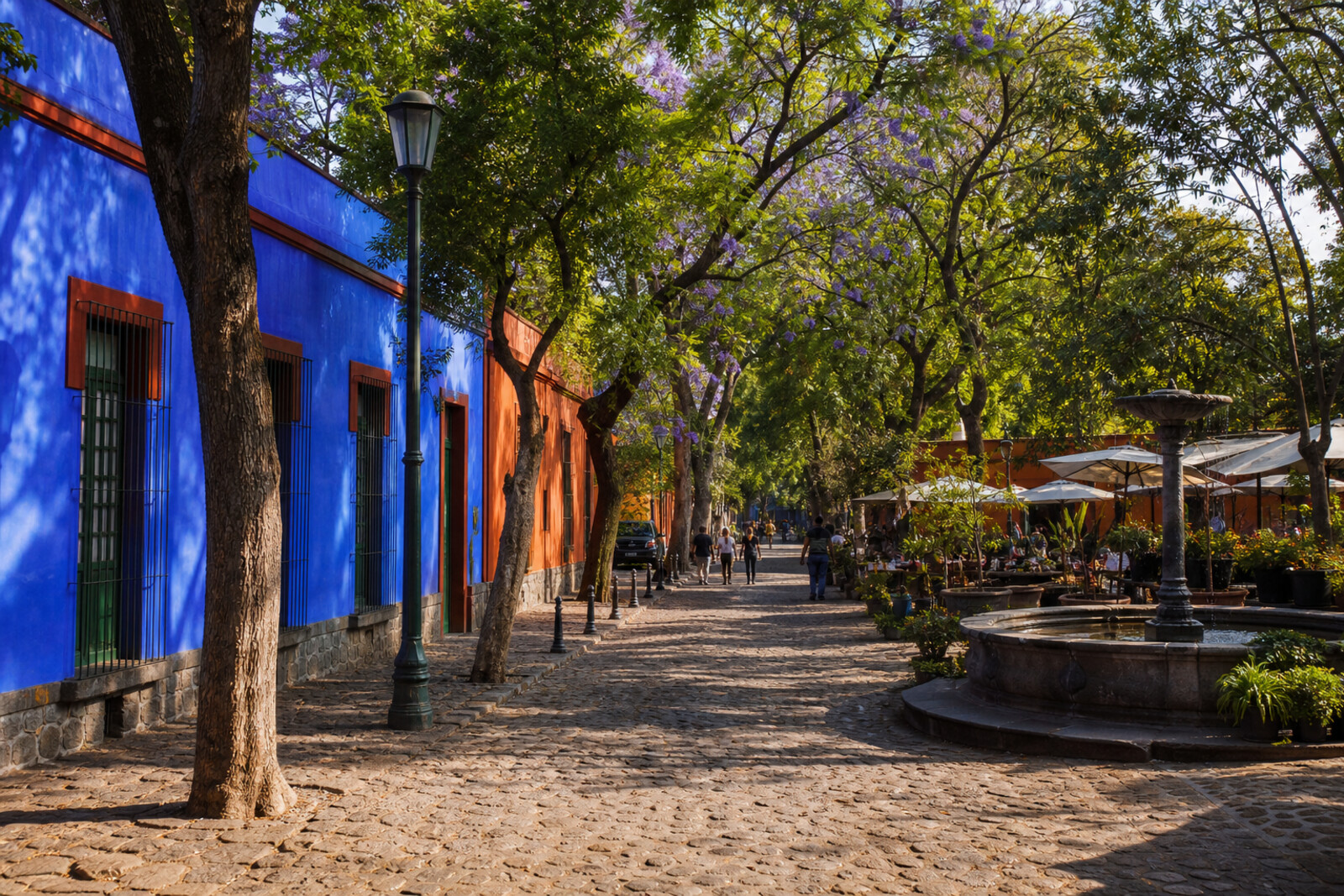
Next comes Avenida Francisco Sosa. Along the way, there will be a mansion with a garden, a small yellow Capilla de Santa Catarina, a former monastery courtyard, the main church, and a market beneath concrete umbrellas. The finish is a cobalt-blue house. This is how you will see Coyoacán before and around Frida Kahlo: not as a backdrop to a famous museum, but as an old village that people repeatedly adapted to new power, faith, trade, and art.
You will find out why the trees once gained a protector, how work at a home table made its way onto street signs, and what a family stall kept from its first trade. The story rests on private decisions, objects, and their consequences.
After the walk, you will be able to explain why the path to Casa Azul starts at nursery beds, passes through church arches and a market, and only then leads to the first painting.
Why this order
Viveros de Coyoacán sets the starting point outside the tourist center: after the story of the public nursery, you will head onto Avenida Francisco Sosa, the old road to central Coyoacán. Casa de Cultura Jesús Reyes Heroles stands farther along the same street, so the story of a local historian naturally continues with another mansion and its new public role. The next stop, Plaza Santa Catarina, brings the route back to the community that existed before these houses and to the open courtyard of the first chapel. Then neighboring Jardín Centenario and Plaza Hidalgo show two fates of former monastery space: a garden for city life and a square beside an active church. From here, the route heads to the market, where a major state construction project narrows down to a family stall. Nearby Casa Azul completes the same passage from public history to the private room where the artist's work began.
Those who want to understand Coyoacán before Casa Azul Lovers of urban history told through human decisions Those who care about gardens, old streets, and markets
Those looking for a route only about Frida Kahlo Those who prefer one museum without a long walk Those uninterested in churches and political history
Before you go
Decide in advance whether you want to go inside Casa Azul: visiting the museum requires separate planning, and admission should not be treated as guaranteed. On the day of the walk, check current access to Viveros de Coyoacán and the museum's visiting rules; interior spaces at the cultural center and the old chapel may be closed or occupied by an event. Bring water and leave a little extra time for the market: it is hard to move through it by the minute, especially if you stop for a bite. Headphones will help with unhurried listening, since the central squares and market aisles can be noisy.
When to go
3 hr
Backup plan
If Viveros de Coyoacán is closed, start at its edge and continue to Avenida Francisco Sosa: the nursery's story will still set the route's theme, while the main sequence remains intact. Closed interiors at the cultural center, the chapel, or the church do not mean you need to cancel the walk—listen from outside and look at courtyards, facades, arches, and the layout of the squares only where permitted. In heavy rain, shorten the stops in the gardens and take a longer break under the market roof. If you cannot get into Casa Azul, end the route at its blue facade; do not try to look into the house through closed openings, and save the museum for a separate visit.
Route conditions
Elevation. Ascent — 19 m; descent — 19 m
OpenStreetMap extract of June 18, 2026: database data, not a check on the ground. Data © OpenStreetMap contributors, ODbL licence
Walk plan
Open in maps ↗- 1
Viveros de Coyoacán
Here you will understand why a public nursery grew out of a private plot and survived political pressure. - 2
Avenida Francisco Sosa
An old route will show how work in one house gave Coyoacán its own printed history. - 3
Casa de Cultura Jesús Reyes Heroles
The estate will connect an election campaign headquarters, a student-president, and a cultural center named in memory of the teacher. - 4
Plaza Santa Catarina and Capilla de Santa Catarina
The façade shows how an open chapel became part of a later enclosed church. - 5
Jardín Centenario
The garden will show how a former monastery courtyard was adapted for the independence celebration and everyday city life. - 6
Plaza Hidalgo and the Templo de San Juan Bautista
The history of the land beneath the monastery brings together the conquest, the baptism of a local ruler, and later memory of independence. - 7
Mercado de Coyoacán
The market is here so that the grand architecture of the mid-century meets the story of one family stall. - 8
Frida Kahlo Museum (Casa Azul)
In the rooms of the house, an accident, family debts, and the first painting come together in the story of an artist's birth.
Route features
Everything you need stays in the browser
Progress, saves and your trip plan are stored on this device.
Add Guide On Map to your home screen so the walk opens outside the browser.
How we handle sources, maps and corrections: our editorial standards