 Guide On Map
Minnewater and the Beguinage: Quiet Bruges South
From Minnewater Park across the bridge and through the beguinage to the De Vos Almshouse
Guide On Map on your phone
Open the walk like a regular app
It takes about 10 seconds to install. No app store needed.
The whole path
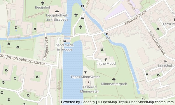
Route map
About the walk
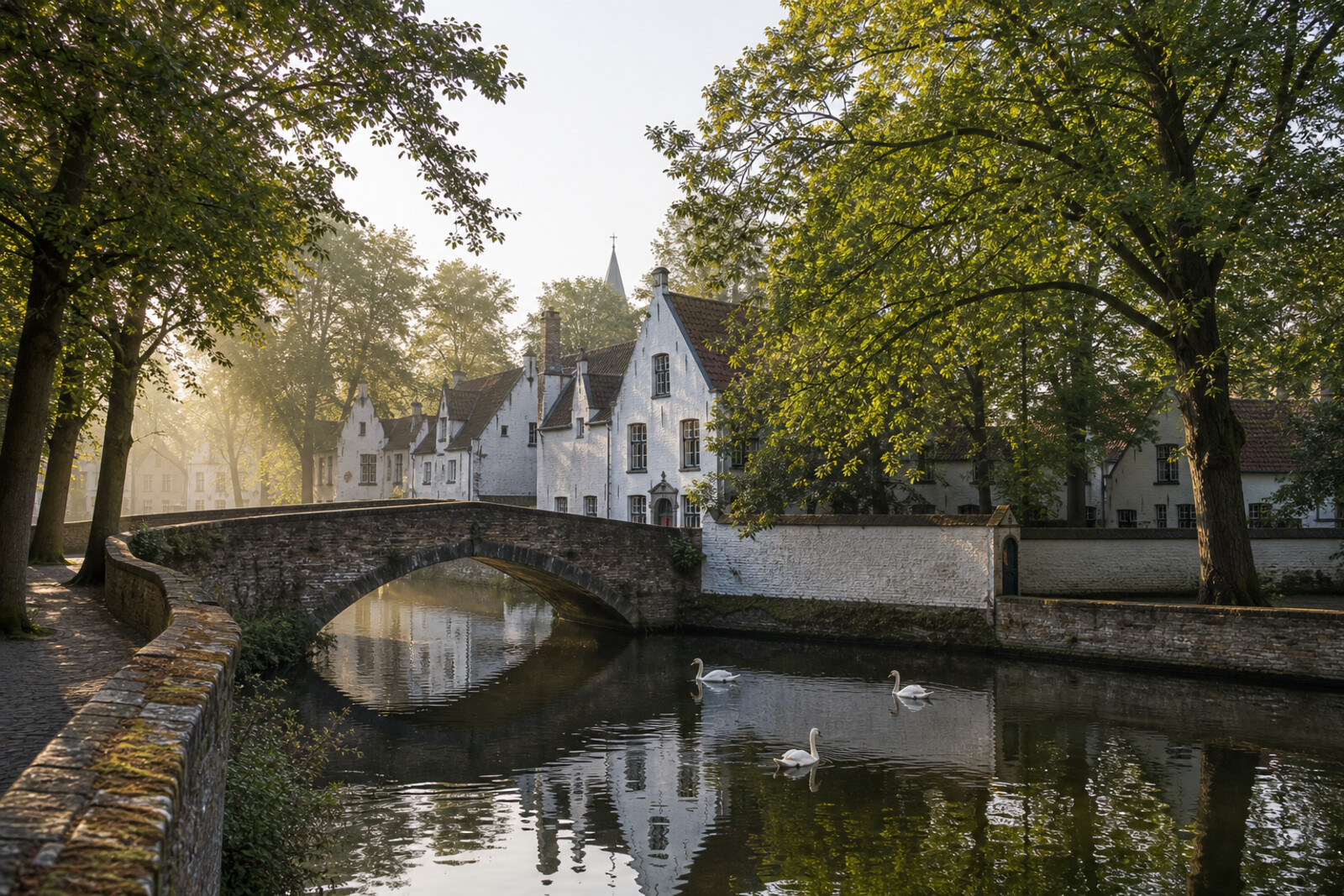
You will walk through quiet southern Bruges: from a young park to the water, then along Minnewater to the bridge, the square, and beyond the gates of the beguinage. The walk ends in the small courtyard of a neighboring almshouse.
Here, postcard Bruges will keep slipping out of focus. Beneath the park paths lies an unrealized villa district. The handsome house above the water marks a costly engineering attempt that did not solve the central problem. At the bridge, a legend turns out to have had an author. Behind the protection notice stand the homes of women who did not want to become nuns, along with what remained after their way of life disappeared.
The story stays calm and specific: city decisions, everyday rules, cracked stone, gates that could be locked. By the end, you will read this corner of Bruges not as a stage set for quiet, but as a map of boundaries—between public and private, protection and oversight, continuation and ending.
Why this order
The route begins in a public park where the layout of a former private garden can still be read, then follows its surviving paths to the Sashuis—a structure for which water became part of a larger civic calculation. The same line of water then leads to the bridge: once the canals are understood, Minnewater's role as a transport entrance to Bruges becomes clear. Returning along the shore to Wijngaardplein exchanges one boundary for another—water gates give way to gates backed by legal protection. Passing beneath the arch takes you inside the way of life that boundary guarded. The white houses reveal its later transformation, while the neighboring Saint Elizabeth's Church points to an earlier trial and recovery. The final stop at the De Vos Almshouse makes it possible to compare 2 nearby forms of enclosed women's housing: an independent community behind a protected boundary and a charitable courtyard governed by required rules.
Those who want to see quiet Bruges beyond its main squares Lovers of urban history told through human decisions and everyday details Those looking for an unhurried walk without grand rhetoric
Those looking for a route through Bruges's main squares and cathedrals Those who want only romantic legends without checking where they came from Those who prefer a quick overview of many sights
Before you go
The walking distance is about 900 m, but allow time for stops by the water and in the courtyard. In the beguinage, speak quietly, stay on public paths, do not look into windows, and do not photograph residents without permission. The church and chapel may not be accessible inside, so do not build the route around guaranteed entry to the interiors. Give swans and horses plenty of space, and do not block the way near gates and bridges.
When to go
Go in the morning or later in the afternoon. It is easier then to hear the city noise give way to the quiet of the courtyard, and to take in the reflections, white walls, and old trees without rushing.
Backup plan
If Saint Elizabeth's Church is closed, look at its facade and listen to the story in the courtyard: the fire, the recovery, and the community's fate do not require going inside. Do not expect to see Our Lady of the Vineyard—it is kept elsewhere. If the almshouse gates are closed, end the route at the entrance and view the ensemble only from the public area; do not try to open the residential courtyard or chapel yourself.
Route conditions
Surface. Paved — 409 m; unpaved — 339 m (data covers 97% of the route)
Stairs. Flights: 3, 15 m in total
Access. Wheelchair — no; stroller — limited (stairs)
Facilities. Toilets — 2; drinking water — 4
Elevation. Ascent — 6 m; descent — 8 m
OpenStreetMap extract of June 18, 2026: database data, not a check on the ground. Data © OpenStreetMap contributors, ODbL licence
Walk plan
Open in maps ↗- 1
Minnewater Park
It will show how a municipal decision preserved traces of a private garden in a public park. - 2
Sashuis
It will explain the structure where a grand maritime calculation ran up against stubborn water. - 3
Lovers' Bridge
It will connect the old passenger quay with the origin of the present-day love ritual. - 4
Wijngaardplein and the main gate
It will make visible the boundary that protected the beguines' independent way of life. - 5
Beguinage Ten Wijngaerde: white houses and a garden
It will show why the white houses both preserve the community and bear witness to the end of its former way of life. - 6
Saint Elizabeth's Church
It will tell how one of the women returned the church to the community after an accidental fire. - 7
De Vos Almshouse
It will show the cost of housing given as assistance but tied to rules and supervision.
Route features
Everything you need stays in the browser
Progress, saves and your trip plan are stored on this device.
Add Guide On Map to your home screen so the walk opens outside the browser.
How we handle sources, maps and corrections: our editorial standards