 Guide On Map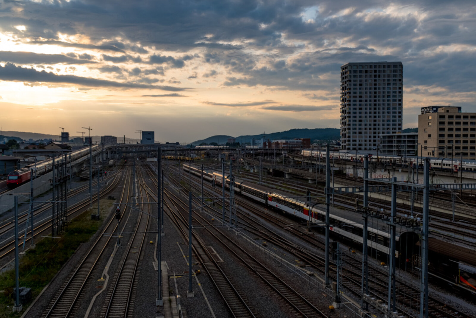
Look around first
What to notice
- Railway platforms
- Road bridge
- Stops on the bridge
- Stairways and elevators
The story of the place
The Hardbrücke bridge was planned as a temporary section of the Westtangente, a future expressway through the center. The Y-shaped road never appeared, and the original project did not provide for a station beneath the bridge. The platforms were added later to bring regional trains together with trams and buses in one transfer. The narrow platforms, stairways, and elevators to the stops on the bridge remain from that calculation, although about fifty thousand people now pass through the station every day.
Hardbrücke consists of several levels. The railway platforms lie below, and above them runs a road bridge with tram and bus stops; stairways and elevators connect it all into a single hub. The station took its name from the bridge. “Hard” is the old name for this local area: it was the name for a sparse forest used as pasture.
The present bridge was built between nineteen sixty-nine and nineteen seventy-two. City transport planners regarded it as a temporary link in the Westtangente: later, a Y-shaped expressway was meant to run through the center. That road was never built. The original plan did not include a railway station beneath the bridge either.
In nineteen seventy-seven, city council member Hans Erismann, who was pushing for a rail connection to the industrial district, proposed creating a stop farther west, near Hardturm. Paul Stopper, a young transport engineer in the city planning office, took up the idea. He saw that a suitable hub already half existed: regional trains were meant to run on the new tracks beneath Hardbrücke, while city buses stopped above. If platforms were placed right here, the transfer would take one flight of stairs.
Stopper had to convince his own boss, the head of city planning, Ruedi Eschbacher, and then take the project to Swiss Federal Railways. The railway officials agreed to take on the station, but were not prepared to invest in it. City calculations showed whom the construction was intended for: more than two thousand jobs were nearby, and five thousand nine hundred people lived within a radius of six hundred meters. Stopper compared the future stop’s catchment with the population of a small town.
In nineteen seventy-nine, the city parliament approved the credit without a single vote against it. Construction cost six million eight hundred fifty thousand francs: the city paid two-thirds, and the canton one-third. On May twenty-third, nineteen eighty-two, two platforms opened, with new bus stops directly above them. Two hourly routes, from Bülach and via Kloten, together provided a train every half hour. Eight years later, in time for the launch of the Zurich suburban rail network, another two tracks were added.
The planners expected about nine thousand passengers a day and so built platforms narrower than usual. Now about fifty thousand people use the station every day. The narrow platforms, long stairways, and elevators leading directly to the trams and buses on the bridge preserve Paul Stopper’s original calculation: the transfer was fitted exactly into Hardbrücke’s cross-section.
Useful on site
Open as public transport infrastructure; be careful with traffic.
Checked: June 26, 2026. Check the official source before visiting.Observe only from the sidewalk and permitted areas: traffic moves continuously around you, and noise may drown out the audio.