 Guide On Map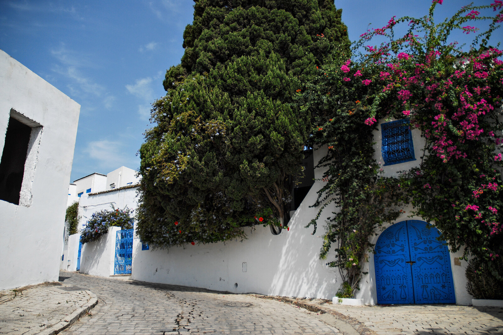
Look around first
What to notice
- Whitewashed façades
- Flat roofs
- Iron grilles
- Wooden screens
The story of the place
Habib Thameur Street runs along the slope of Sidi Bou Said from the station to the upper part of the settlement, where the mosque stands. It gathers people walking uphill, while residential homes branch off into side lanes. White walls, flat roofs, iron grilles, and wooden screens form a nearly continuous row of façades here. The name on the sign comes from a physician connected to the Tunisian independence movement.
From the station to the upper part of Sidi Bou Said, almost everyone takes the same uphill route. That is why merchants here set out ceramics, textiles, metal cages, and other goods for visitors. Side lanes lead to residential homes, while this street carries the main flow of people and leads to the mosque. At the beginning of nineteen forty-three, it was called Mosque Street.
The appearance of this commercial row was determined by a decision made before the souvenir shops appeared. At the beginning of the twentieth century, the artist and researcher of La Musique Arabe Rodolphe d'Erlanger settled on the hill. He worked to keep new owners from rebuilding the old part of the settlement to suit their own tastes. His friend and intermediary was Omar Baccouche: he coordinated the project with the bey—Tunisia's monarch at the time—and the administration of the French protectorate of Tunisia.
On August sixth, nineteen fifteen, Naceur Bey approved the decree they had prepared. Owners were forbidden to alter the alignment of streets, the shape of flat roofs, or the design of façades. Walls had to be whitewashed with lime; the style of doors, windows, balconies, iron grilles, and wooden screens had to be preserved. Even repairs required approval. For residents, this meant a direct restriction: they could not alter their own homes without permission. For d'Erlanger, it meant carrying out the plan for which he had enlisted Baccouche and the officials.
The decree left the street's line and its façades in place, but its old name did not endure. Later, the uphill street was named after Habib Thameur—a physician and leader of the then-banned Neo-Destour movement, which sought Tunisia's liberation from the French protectorate of Tunisia.
Thameur trained as a physician in Toulouse and had a profession with which he could earn a living. After the arrests of Neo-Destour's leaders in nineteen thirty-eight, he headed the party's underground bureau. Three years later, he was caught trying to cross the Libyan border, and a military court sentenced him to twenty years in prison. The war cut that term short: Thameur was released, returned to the party's leadership, and later represented the Tunisian movement abroad.
At the end of nineteen forty-nine, he was sent to Karachi for an international economic congress. On the return journey, the plane crashed in Pakistan; Thameur died along with the other delegates. He did not live to see Tunisia's independence. In a photograph from nineteen forty-three, this uphill route is captioned “Mosque Street.” The current sign above it bears the name of the physician who received a twenty-year sentence for underground work.
Useful on site
The street is open as a public space. Shops, galleries, and cafés keep their own schedules; there is no stable, unified timetable.
Checked: June 29, 2026. Check the official source before visiting.Walk slowly: the paving is smooth in places, and stalls and oncoming pedestrians narrow the passage. View private thresholds and courtyards only from the street.