 Guide On Map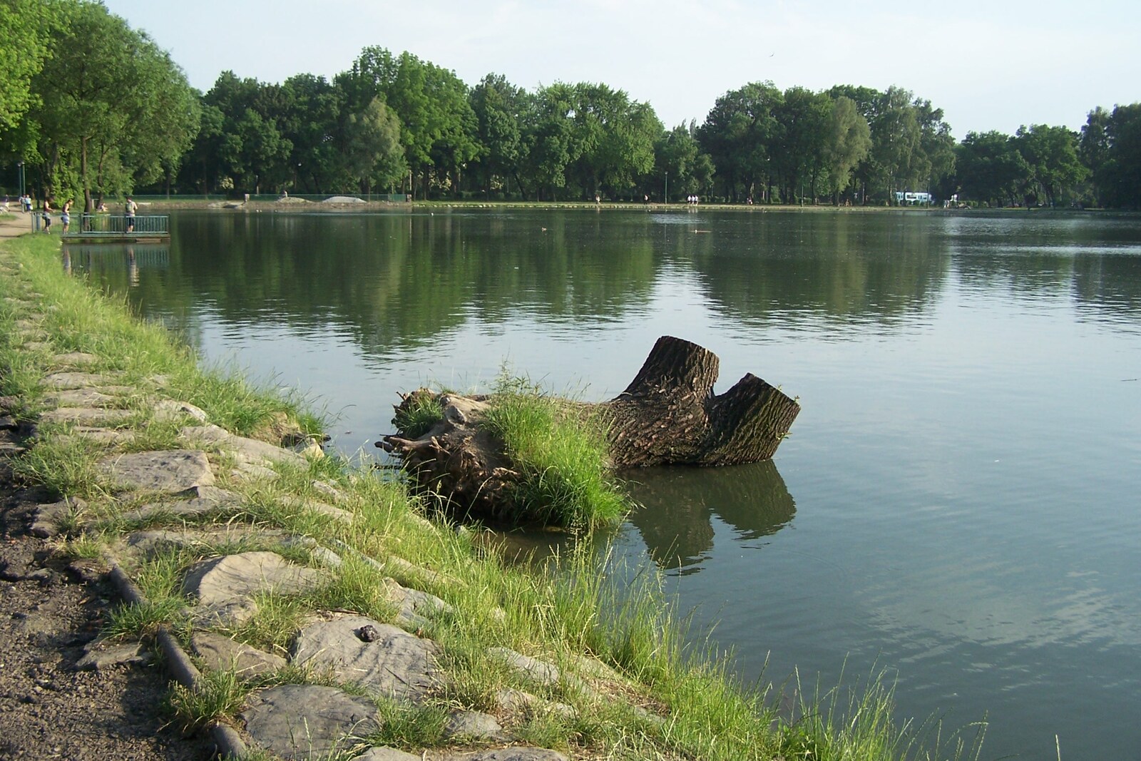
Look around first
What to notice
- The rectangular basin of the reservoir
- The artificial island
- The wooden platform
- The Anglers' House
The story of the place
The rectangular reservoir at the edge of Nowa Huta was conceived as part of a green barrier between the residential districts and the Lenin Steelworks. Water from here was directed to industrial uses, while the banks and the island at the center were turned into a park with a beach, a marina, and boat rentals. Swimming later stopped here, but the Anglers' House has survived by the shore, and waterfowl now settle on the island. The wooden platform and renewed paths have kept this place for strolling.
In this place's Polish name, “zalew” means an artificial body of water. The water arrives here by a route people laid out long before Nowa Huta. In the fifteenth century, carpenters from the village of Bieńczyce—now part of Krakow—built a dam on the Dłubnia and diverted the Młynówka from the river, a canal for several mills. Five centuries later, engineers used it to fill the rectangular basin of the reservoir.
By then, the Lenin Steelworks and a new residential district for its workers were being built nearby. People came from villages and small towns for steady earnings and the chance to get an apartment. Many spent their first years in overcrowded dormitories and barracks. The workers asked for a place to relax nearby.
The land between the homes and the steelworks was intended for a green protective belt. Engineer Aleksander Ścigalski added a park and a reservoir to it. The body of water was meant to supply the steelworks with technical water while also serving the residents. That is why it was created on the outskirts of the built-up area at the time, beside the enterprise and the old Młynówka.
The park and reservoir opened in nineteen fifty-seven. The workers received what they had asked for: a beach and a marina were laid out here, and boats, kayaks, and pedal boats were available for rent. Picnics, sporting competitions, and concerts were held along the banks. The artificial island in the middle of the basin was part of the same project.
By the nineteen seventies, the water quality had deteriorated, swimming ceased, and the boat station and other infrastructure gradually disappeared. Local anglers held on to the reservoir longer than anyone else. From nineteen seventy-three to nineteen seventy-seven, members of the Polish Angling Association built the Anglers' House on the shore themselves. The lower floor housed the board and the people who looked after the reservoir, while the upper floor was set aside for meetings and celebrations.
At the beginning of the twenty-first century, the city cleaned the bottom, reinforced the banks, and restored the walking paths. A new sandy area and a wooden platform appeared, but official swimming was not reinstated here: to preserve the established biological environment, the reservoir was left as a recreational park. Waterfowl now nest on the artificial island, and the Młynówka still brings water from the Dłubnia.
The Anglers' House has also survived. The Krakow branch of the Polish Angling Association is now located at its address on Bulwarowa Street; fishing-card examinations are held here. A restaurant and banquet hall operate one floor above.
Useful on site
Open urban green space; boat rentals and other seasonal services depend on the weather and the current operator.
Checked: July 1, 2026. Check the official source before visiting.Stay on the public paths and do not disturb people with fishing rods. Families, athletes, dog owners, and anglers all spend time by the water.