 Guide On Map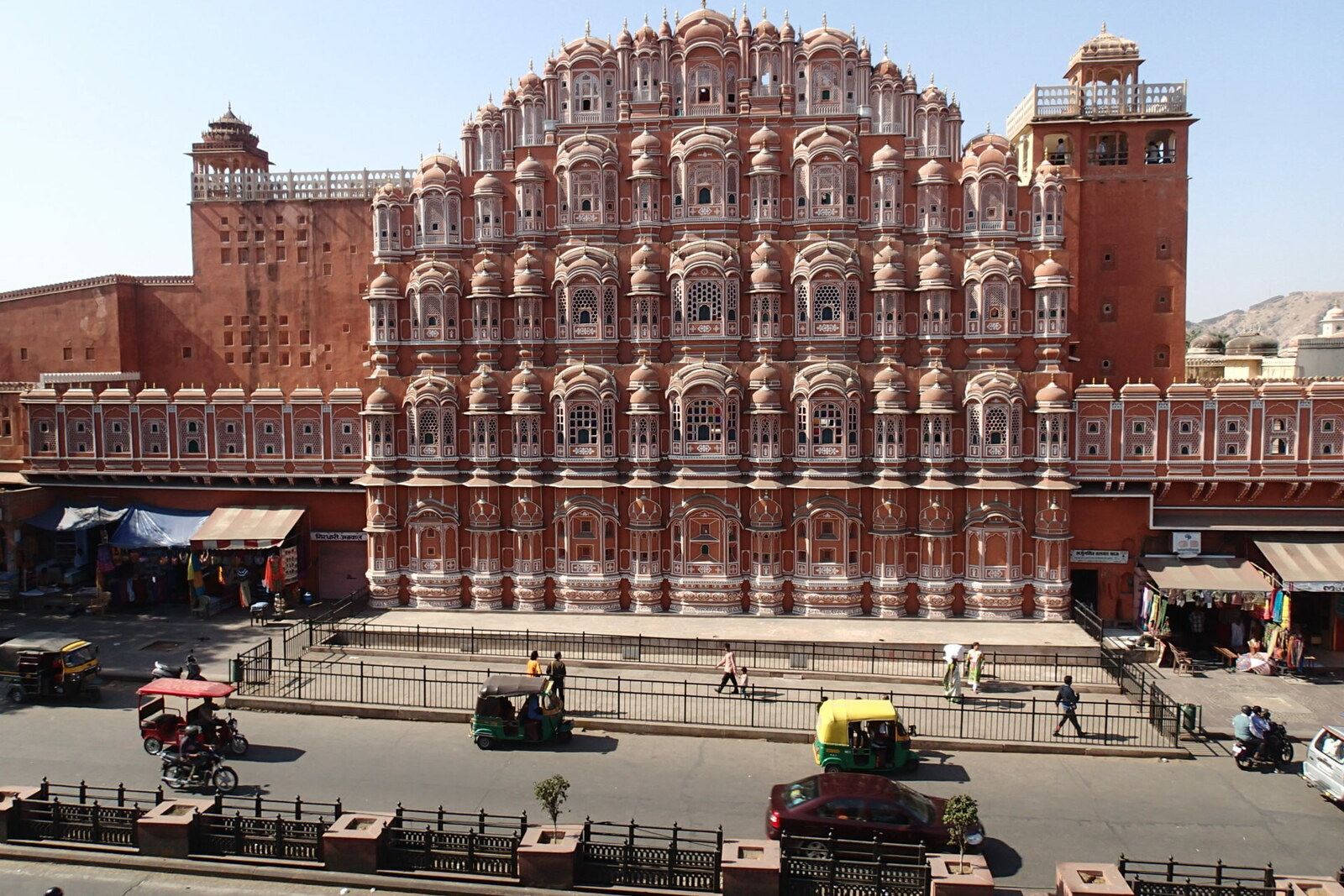
Look around first
What to notice
- The square’s open space
- Marble fountains
- Stone balustrades
- Metro entrance
The story of the place
A stepped cistern lies hidden beneath today’s Badi Chaupar. Its name means “Large Square,” yet this place became an open intersection lined with shops only after townspeople stopped descending here for water.
Before Jaipur was founded, its ruler Sawai Jai Singh II commissioned the surveyor Anand Ram to find a source for the new capital. People were to leave cramped Amber, where the growing population no longer had enough water. Anand Ram compared two canal routes. The Bandi River was far away, beyond a difficult stretch of terrain; the channel of the Jhotwara River ran much closer, beyond low sandy ridges. In seventeen twenty-six, the surveyor presented his calculations to Sawai Jai Singh II.
Based on these surveys, builders laid canals and underground water conduits. Water flowed in sequence into the stepped reservoirs of Chhoti Chaupar, Badi Chaupar, and Ramganj Chaupar. Only wealthy homeowners could afford separate wells; the cisterns beneath the squares were intended for everyone else. Residents descended to the water, while roads, shops, and workshops converged around them. Open public space arose here because of the shared source.
In eighteen sixty-eight, another ruler of Jaipur, Sawai Ram Singh II, ordered pipes laid through the city. The old stepped reservoirs were deemed unnecessary and unhygienic. They were filled in, and a continuous square was laid out at Badi Chaupar. Water was now drawn from street standpipes; in eighteen seventy-six, marble fountains and balustrades were installed above the former cistern.
When builders began excavating for an underground station in two thousand fifteen, they discovered two tiers of the reservoir beneath the square, along with the openings of water conduits on all four sides. Archaeologists marked the stone slabs, dismantled the masonry, and then reassembled the cistern above the metro station. Stone waterspouts in the form of cows’ heads were transferred to the Albert Hall Museum for safekeeping. Trains came here in two thousand twenty: an urban route once again runs beneath the Large Square, and above the platforms lies the reservoir for which this place was once chosen.
Useful on site
Public square with no set hours; traffic is busy around the clock, but the fountain and stalls close in the evening.
Checked: June 17, 2026. Check the official source before visiting.Listen from a safe spot at the edge of the square: traffic comes from several directions at once. The famous facade of Hawa Mahal is not its usual entrance; a visit inside is arranged separately.