 Guide On Map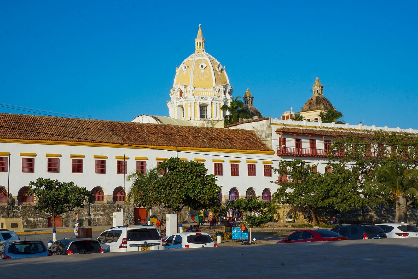
Look around first
What to notice
- The old wall beneath the Naval Museum of the Caribbean
- The new line of wall by the water
- Calle de la Ronda between the walls
- The bastion's gun platform
The story of the place
Along Calle de la Ronda, soldiers moved around the fortifications without descending into the city: the narrow passage is squeezed between the old wall and the new line by the water. Nearby lies the platform of San Ignacio Bastion; its guns covered the quay, Animas Bay, and the approach from Bocagrande, and eighteen guns were in service here. Around seventeen thirty, the fortification was moved closer to the water and given its present outline. Its former name, the Bastion of the Moors, was changed to San Ignacio after the neighboring Jesuit church.
In sixteen thirty-eight, Cartagena's new governor, Melchor de Aguilera, saw a Jesuit college here, built directly on the defensive wall. Beneath the building, the monks had cut two doors through to the outside. To a military man, this meant that the wall protecting the port now had two ready-made passages in it.
Nearby stood a bastion whose guns covered the quay, Animas Bay, and the approach from Bocagrande. Eighteen guns were stationed on its platform. A straight stretch of wall connected it to the neighboring bastion, and soldiers had to be able to move freely along this line. The college had occupied precisely their route.
Before Aguilera, his predecessor Francisco de Murga had decided this dispute. Murga, a governor and military engineer completing Cartagena's fortifications, had run the wall through the plot assigned to the Jesuits and allowed them to build on it. The monks wanted to preserve the order's residence and school; by the time construction was finished, they had invested about fifty thousand gold pesos in the building. Murga himself also considered this shore sufficiently protected and did not see the college as a serious threat.
Aguilera saw it differently. He reported the doors to King Philip IV and demanded that the wall be cleared. In that same year, sixteen thirty-eight, an order arrived from Spain to demolish the building above the fortification. For the Jesuits, this meant losing years of work and the money they had invested. They sought delays, argued with the governors, and cited a lack of funds to relocate. Military engineers again demanded demolition. Correspondence across the Atlantic continued for decades.
A solution was proposed by the engineer Juan de Somovilla, who was tasked with restoring the port's continuous defenses. In sixteen fifty-six, he drew a new wall outside the college. The king agreed on condition that the Jesuits pay for the wall and two bastions. The college remained in place, the old masonry beneath it became part of the building, and a passage for soldiers was cleared between it and the new line. The Jesuits kept their school but received the bill for relocating the fortifications; the military gained an unbroken wall and a route for moving along it.
The work dragged on for nearly another three-quarters of a century. Around seventeen thirty, the engineer Juan de Herrera y Sotomayor moved this bastion closer to the water and gave it its present dimensions. The narrow gap between the two walls survived as Calle de la Ronda—literally, the street for military rounds. The old Jesuit building is now occupied by the Naval Museum of the Caribbean.
The bastion's name moved with it. The neighboring Jesuit church was dedicated to Ignatius of Loyola, the founder of the order; today it is the Church of San Pedro Claver. After the rebuilding, the former Bastion of the Moors came to be called San Ignacio. The Jesuits kept the building on the old wall, while their founder's name remained on the new one.
Useful on site
Stop where the bastion, the neighboring complex, and the water are all visible at once: their relative positions explain the story better than any interior.