 Guide On Map
Port, Railway, and Gastown
From Canada Place through Water Street to Victory Square
Guide On Map on your phone
Open the walk like a regular app
It takes about 10 seconds to install. No app store needed.
The whole path
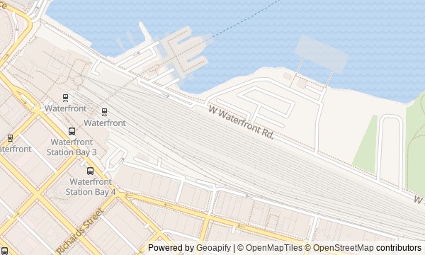
Route map
About the walk
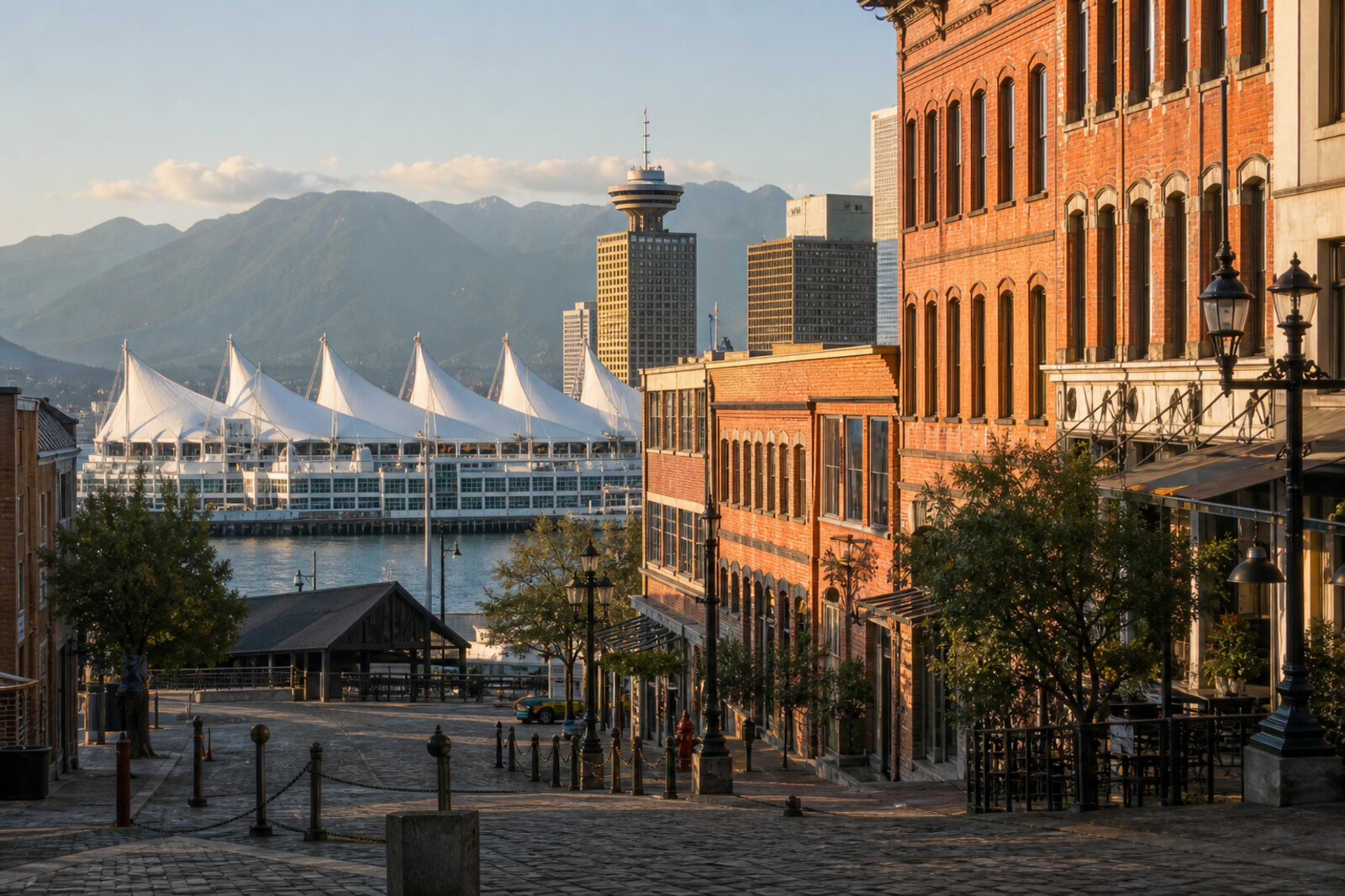
You will begin beneath the white roofs of Canada Place and walk from the harbor toward the old districts. First come the cruise berths, a former railway terminus, and a tower above the business district. Three questions emerge here: how could a ship spend two months at the pier without docking, why was the terminus moved overnight, and where did the boot print left at the opening of the Vancouver Lookout go?
Then you will step onto Water Street and into brick-built Gastown: to the Gastown Steam Clock, a square without the maple tree that gave it its name, and an alley whose name must be checked against newspaper records. The story will calmly separate documents from urban legends and later tourist staging.
The route ends at the granite Victory Square Cenotaph. By then, you will be able to explain why Vancouver's center took root at this particular harbor—and how much of its “old town” was remade in the 1970s.
Why this order
Canada Place sets the waterfront starting point: here, the story begins with the right to enter the port. A block away, Waterfront Station reveals the second force that decided the harbor's fate—the railway. Directly opposite the station, the tower offers a view over the territory people fought over and shifts the story from transport infrastructure to selling the city's view. After descending, a short walk east leads to the Gastown Steam Clock, where the panorama gives way to Gastown's reconstruction at street level. From there, one stretch along Water Street connects the clock with Maple Tree Square, where the tourist district meets its beginning beside a sawmill. Turning onto Carrall Street takes you beyond the showpiece facades and into Blood Alley, showing how an urban legend acquired an official address. The final walk along Cordova Street and Cambie Street ends at Victory Square: beyond tourist Gastown, bars and advertising give way to a place of enlistment, help for families, and shared memory.
Those discovering Gastown for the first time Fans of urban history without the postcard gloss Anyone interested in ports, railways, and urban legends
Those looking for a walk only along the waterfront Those who prefer to avoid difficult historical episodes Those seeking a route through Vancouver's modern residential neighborhoods
Before you go
Almost the entire route is outdoors, so choose shoes suited to cobblestones and changing weather by the water. Access to the Vancouver Lookout is arranged separately: check current visiting conditions in advance if you want to go up, but buying admission is not necessary for the route to make sense. The passage around Canada Place may change because of cruise operations and events, and the area around the Gastown Steam Clock can get crowded. Farther on, the walk approaches the Downtown Eastside—a residential neighborhood, not a themed backdrop. Do not photograph strangers in vulnerable situations, do not linger in doorways, and treat local residents with the same respect you would expect in your own neighborhood.
When to go
Allow about an hour and a half for the ground-level walk at an unhurried pace. If you go up to the Vancouver Lookout, listen to every story without rushing, and pause over the details, plan on roughly two to two and a half hours. Daylight makes it easier to read the harbor layout and the facades; a midday start also gives you a chance to hear the horns above the harbor, without making them a required part of the walk.
Backup plan
If part of the Canada Place promenade is inaccessible, view the building and harbor from an open section, then begin the main route at Waterfront Station. A closed Vancouver Lookout or low cloud does not break the route: skip the ascent and continue to Water Street, since every key story can be read at street level. If work, an event, or an uncomfortable situation affects Blood Alley, do not force your way through—view it from the accessible end and go around via a neighboring street. In heavy rain, shorten your pauses in open squares, but do not look for a random paid substitute: the station, covered entrances, and cafés can provide a break without changing the sequence of the story.
Route conditions
Surface. Paved — 1.4 km (data covers 81% of the route)
Stairs. Flights: 1, 9 m in total
Access. Wheelchair — no; stroller — limited (stairs)
Facilities. Toilets — 5; drinking water — 1
Elevation. Ascent — 25 m; descent — 8 m
OpenStreetMap extract of June 18, 2026: database data, not a check on the ground. Data © OpenStreetMap contributors, ODbL licence
Walk plan
Open in maps ↗- 1
Canada Place
Here, the harbor's ceremonial facade meets the story of a ship that was never allowed to dock. - 2
Waterfront Station
This stop will show how a single overnight relocation secured Vancouver's role as the western terminus. - 3
Vancouver Lookout
Here, a commercial view of the city will be linked to a missing boot print. - 4
Water Street and the Gastown Steam Clock
You will see how a decorative commission turned into a long engineering experiment. - 5
Maple Tree Square
Here, Gastown’s founding legend leads to an intersection that has outlived a bar, a hotel, and a maple tree. - 6
Blood Alley
This stop separates the documented origin of the name from later stories of slaughterhouses and gallows. - 7
Victory Square
The finale will show how a place for recruiting and collecting aid became the city’s main memorial.
Route features
Everything you need stays in the browser
Progress, saves and your trip plan are stored on this device.
Add Guide On Map to your home screen so the walk opens outside the browser.
How we handle sources, maps and corrections: our editorial standards