 Guide On Map
Carthage: Byrsa Hill and Empires by the Sea
From Byrsa Hill through the Roman city to the Punic Ports and the Tophet
Guide On Map on your phone
Open the walk like a regular app
It takes about 10 seconds to install. No app store needed.
The whole path
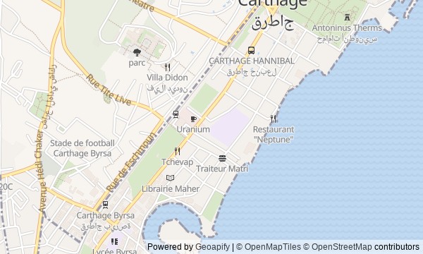
Route map
About the walk
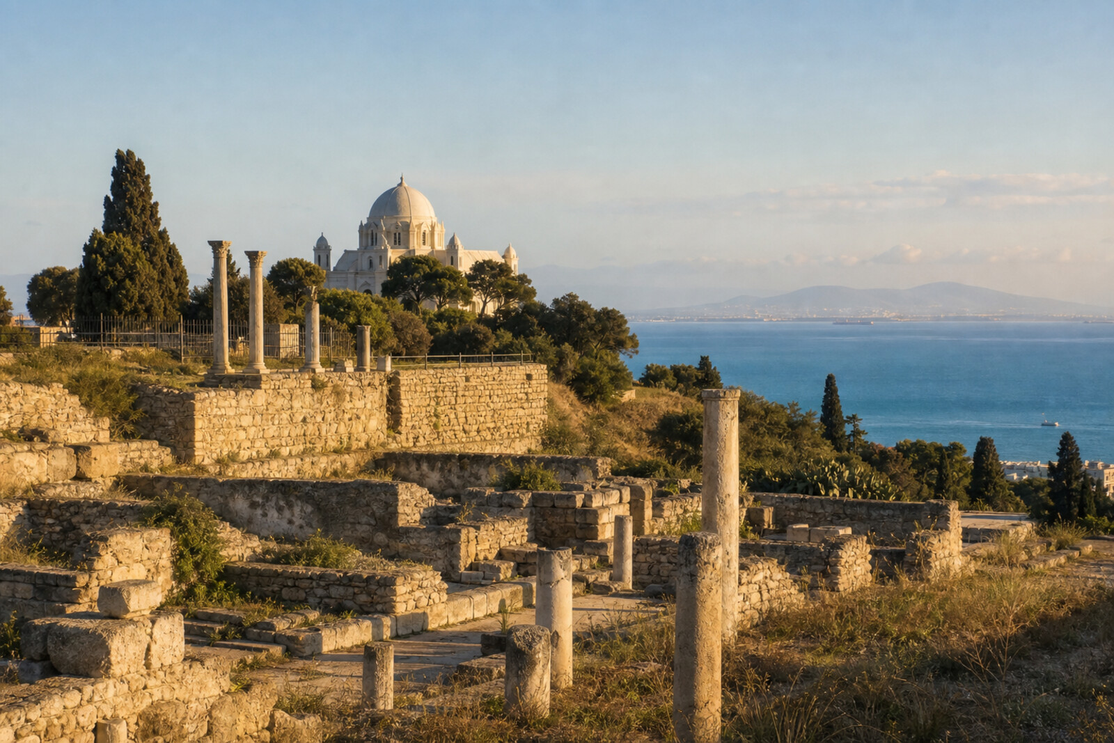
You will begin at the top of Byrsa Hill, where streets of the fallen Carthage survive beneath a Roman embankment. Nearby stands a former cathedral, built around the memory of an event whose exact location no one has established.
Then the road descends to homes on Odeon Hill, passes through the theatre, and reaches the sea—to vast baths, a round military harbor, and a sanctuary by the trading harbor.
There will be no parade of empires in these stories. Instead, you will follow what people did: why a commander came down from the hill alone, how an ailing orator won his audience back, and why the besieged secretly cut a new exit to the sea. Archaeological finds will be kept separate from later legends and disputed conclusions.
By the end, you will be able to point out why Byrsa Hill, the round harbor, and the stelae of Salammbô cannot be fitted into one convenient version of Carthage.
Why this order
Byrsa Hill sets both the height and the starting point: first you will unpack the final days of the Punic city, then, without leaving the summit, see how later European tradition occupied the same hill with a cathedral. The descent to Roman Villas Park changes the scale: after the fate of an entire city comes a residential house later used by a Christian community. The neighboring Roman Theatre of Carthage continues that line from private life to public life—to a place where reputations were made before thousands of listeners. From the theatre, the road leads down to the Antonine Baths: after the auditorium, you will see the workings of the Roman capital—water, fuel, and the service level beneath vanished halls. By the sea, the Roman urban machine gives way to the Punic one: the street along the shore leads to two harbor basins. The Tophet completes the route beside the trading harbor, because here the question of Carthage shifts from military history to an archaeological find that is still interpreted in different ways.
Those who want to connect Carthage's scattered ruins into a clear route Those interested in the Punic, Roman, and Christian histories of one place Those who enjoy separating archaeological finds from later legends
Those expecting a walk only among preserved buildings Those who find it difficult to walk for a long time through open archaeological grounds Those who prefer a brief overview without disputed historical questions
Before you go
Expect several separate archaeological sites, not a single park with one continuous display. Wear sturdy closed shoes, and bring water, a hat, and sun protection: much of the route has no shade. Before setting out, check whether individual sites are accessible and whether excavations, restoration, or cultural events have brought any restrictions. Treat the Acropolium (St. Louis Cathedral) primarily as a stop to view from outside: access to the interior may depend on the site's program. At the ruins, do not go beyond the barriers or try to take shortcuts across ancient masonry.
When to go
Allow 3,5–4 hours for the full route, including walks between stops, unhurried viewing, and short breaks; in hot weather, leave extra time and do not rush the open sections.
Backup plan
If heat, fatigue, or a closed site makes it difficult to complete the whole route, keep its main arc: Byrsa Hill, the Antonine Baths, the Punic Ports, and the Tophet. The Acropolium (St. Louis Cathedral) can be viewed only from outside, and an inaccessible interior need not mean losing the whole stop. It makes sense to skip Roman Villas Park and the theatre separately, without changing the order of the remaining points. If the weather or your condition worsens sharply, end the walk after the baths; it is better to move the port-and-Salammbô finale in its entirety than to rush through it.
Route conditions
Elevation. Ascent — 18 m; descent — 66 m
OpenStreetMap extract of June 18, 2026: database data, not a check on the ground. Data © OpenStreetMap contributors, ODbL licence
Walk plan
Open in maps ↗- 1
Byrsa Hill
Here you will understand why the summit became the city's last refuge and the site of its commander’s personal surrender. - 2
Acropolium (St. Louis Cathedral)
This stop will link a failed campaign with a later tradition that needed a specific address. - 3
Roman Villas Park
A former wealthy home will show how a residential quarter became a place of veneration for a Christian community. - 4
Roman Theatre of Carthage
This stop restores the voice of a man who came to explain himself before a full city audience. - 5
Antonine Baths
The underground service level will explain the scale of urban construction better than the vanished marble halls. - 6
Punic Ports
The shape of the two basins will help make sense of the besieged city's final naval maneuver. - 7
Tophet of Salammbô
The final stop will separate what archaeologists found from the answer the finds never provided.
Route features
Everything you need stays in the browser
Progress, saves and your trip plan are stored on this device.
Add Guide On Map to your home screen so the walk opens outside the browser.
How we handle sources, maps and corrections: our editorial standards