 Guide On Map
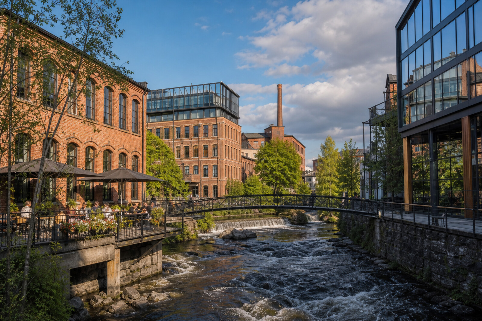
Industrial Akerselva and Urban Grünerløkka
From Vulkan along the river to Birkelunden
Guide On Map on your phone
Open the walk like a regular app
It takes about 10 seconds to install. No app store needed.
The whole path
Route map
About the walk
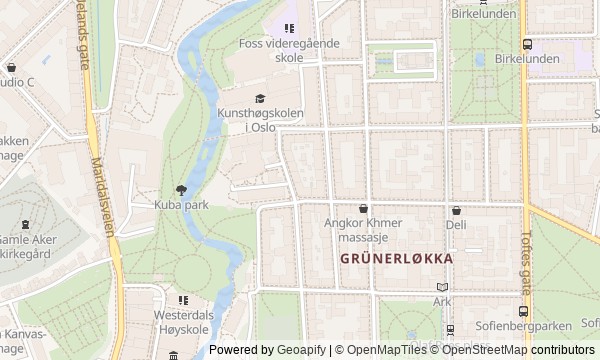
You will begin at Vulkan's brick workshop, head down to Akerselva, and walk between the water and former factories. The river path will lead to a waterfall, an estate, and a tall silo. Then you will leave the bank for Grünerløkka: first a club door and Ingens gate, then tram tracks, apartment buildings, and two green squares.
This is not a walk through palaces and headline monuments. Its story rests on small human decisions. Why would a letter about broken windows become a city matter? What could be made in an empty warehouse with no stage and no toilets? How could a group sitting on a bench spill out beyond the park? The answers come through documents, inscriptions, and things still in place; the local version remains a local version.
Afterward, you will be able to walk back through Grünerløkka and use the workshop, silo, tracks, and park busts to explain how people shaped a residential district from a factory-lined riverbank.
Why this order
Bruverkstedet opens the route as a surviving piece of the industrial riverbank. From there, the path drops to Akerselva: beside the former buildings, it becomes clear why the next protagonist is the land cleared for the river park. The park path returns to Nedre Foss, a waterfall that explains why the mill and the land mattered here long before the factories. The walk then continues along the water to Blå, where the next factory building shows the riverbank's post-industrial life. The bridge by Ingens gate carries you into residential Grünerløkka. After the narrow strip beside the river, Thorvald Meyers gate opens up the street grid, apartment buildings, and tram line. Following those rails, the route reaches Olaf Ryes plass first, then Birkelunden. The two parks complete the shift from a private land project to public places that city residents used in different ways.
Those who want to understand how Grünerløkka works, not just see its fashionable addresses Fans of industrial history, urban life, and independent music Those who enjoy alternating between river paths, streets, and parks
Those looking only for Oslo's major landmarks Those who want museum interiors and ceremonial architecture Those who want to spend the entire walk exclusively by the water
Before you go
Most of the story can be read from the street, so there is no need to enter every building. If you plan to visit Mathallen Oslo or attend a concert at Blå, check the venue's opening hours and the conditions for the specific event in advance: the route itself includes neither admission nor reservations. Choose shoes for a long urban walk by the water; on the riverbank sections, take your time and stay on the comfortable path rather than stepping off for a better angle. The Sunday market at Birkelunden is a changing part of neighborhood life, not a guaranteed exhibit, so do not build your whole plan around it.
When to go
Daylight is best: it makes the factory buildings, graffiti, houses, and monuments easier to see. Sunday gives you a chance of catching the market at Birkelunden, but a weekday works just as well for a quieter look at the architecture. If you want to finish with a concert at Blå or a visit to another venue, plan the route separately around its current program.
Backup plan
In heavy rain, shorten the open stretch along the river and spend more time at the former Mathallen Oslo workshop if it is accessible, or at stops along Thorvald Meyers gate, where it is easier to pause under cover. You can listen to the stories of Nedre Foss, Blå, and the squares from safe parts of the street, without going close to the water or slippery surfaces. If there is no Sunday market, Birkelunden still makes a complete ending: look at the pavilion and monuments, and take the market story as an account of the district's weekly rhythm.
Route conditions
Surface. Paved — 785 m; unpaved — 76 m (data covers 47% of the route)
Stairs. Flights: 1, 8 m in total
Access. Wheelchair — no; stroller — limited (stairs)
Facilities. Toilets — 3
Elevation. Ascent — 45 m; descent — 8 m
OpenStreetMap extract of June 18, 2026: database data, not a check on the ground. Data © OpenStreetMap contributors, ODbL licence
Walk plan
Open in maps ↗- 1
Bruverkstedet
The surviving building will show which production choice helped the factory survive bankruptcy. - 2
Akerselva After the Factories
Here, you will need to trace how a disputed riverbank became part of a continuous urban walk. - 3
Nedre Foss
The waterfall links a family inheritance to the land from which a residential neighborhood later grew. - 4
Blå and Ingens gate
A former warehouse shows how an industrial space gained a new stage and an unofficial address. - 5
Thorvald Meyers gate
The development along the tracks explains how a landowner prepared private fields for their transformation into urban blocks. - 6
Olaf Ryes plass
The mismatch between the square's name and the bronze face in the park opens up two different urban stories. - 7
Birkelunden
The final stop will show how meetings on a single bench grew into lasting civic action.
Route features
Everything you need stays in the browser
Progress, saves and your trip plan are stored on this device.
Add Guide On Map to your home screen so the walk opens outside the browser.
How we handle sources, maps and corrections: our editorial standards