 Guide On Map
Melbourne's Central Laneways and Arcades
From Federation Square to Royal Arcade
Guide On Map on your phone
Open the walk like a regular app
It takes about 10 seconds to install. No app store needed.
The whole path
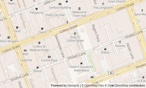
Route map
About the walk
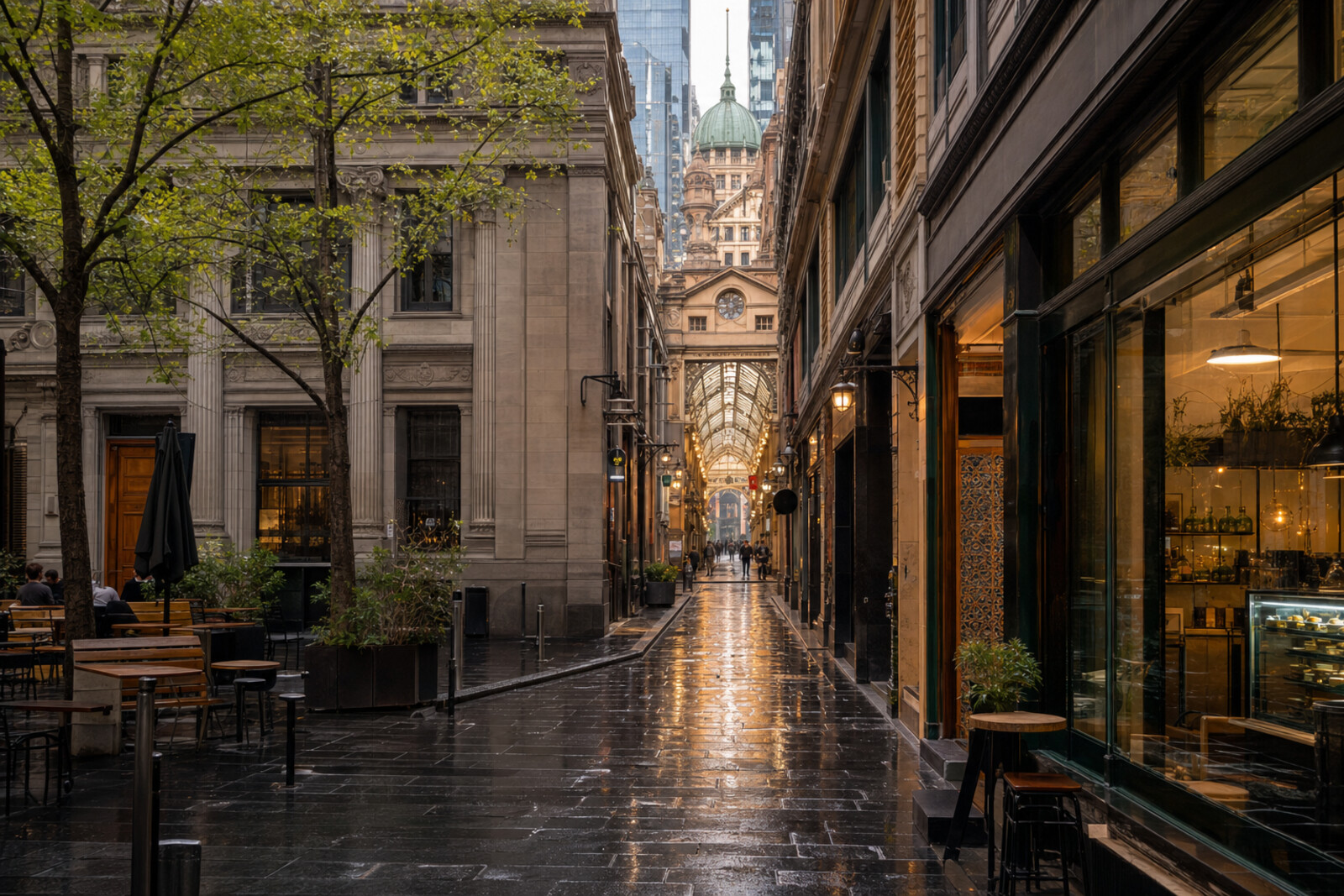
You will begin in the open space of Federation Square, then leave the broad streets for the narrow passages of the city center. First come brick walls, service doors, and layers of art painted over art. Then tables between façades, the bend of a working courtyard, and covered galleries of mosaic, glass, and clocks.
You will see a staircase where a tall building was once planned, and street furniture that once had to be argued over. At the finish, two wooden giants will strike bells under the name of a man who did not live to see the mechanism appear.
The story will calmly unpack civic decisions, entrepreneurial risk, and disputes over authorship. Documented fact will not be mixed with a convenient legend.
After the walk, you will be able to tell a former service lane from a space won back by artists, and both from a retail stage deliberately made for being seen on a stroll.
Why this order
Federation Square sets up the first contrast: here, public space was designed as a whole, and its boundaries were debated. Across Flinders Street, the same question continues in Hosier Lane, where a place for art emerged without a major architectural commission. Flinders Lane leads to Degraves Street: murals give way to tables, making clear how entrepreneurs turned a service passage into a city address. Across the way is Centre Place, a similarly tight courtyard with a history of artists defending affordable studios. Through Centreway Arcade, the route reaches Collins Street and The Block Arcade: after improvised exhibitions and contested street furniture comes a passage built from the outset for shopping and strolling on display. From The Block Arcade, Block Place leads directly to Royal Arcade. The neighboring covered passages make it possible to end by comparing not their façades, but the people whose names were preserved—or lost—within a shared undertaking.
Those who want to understand the city center beyond its main façades Lovers of urban history, architecture, and street art Those interested in human decisions that changed familiar places
Those looking for a walk focused only on major landmarks Those who dislike narrow, busy city passages Those expecting a detailed chronological history of all Melbourne
Before you go
Choose daylight hours: it is easier then to see layered paint, the texture of stone, mosaic, and details beneath glass roofs. Do not pin your expectations on a particular mural in Hosier Lane—the surface may have changed very recently. On Degraves Street and in Centre Place, keep the way clear and step toward the wall if you want to stop or read. After rain, watch your footing: stone, tile, and metal elements can be slippery. Check access to the arcades and the hours of individual venues before setting out; cafés, shops, and tea rooms are not a required part of the route and can be planned separately if needed.
When to go
It is best to go during the day, when the laneways are clearly visible, the shopping passages are serving their usual purpose, and the city’s flow is already present. Allow extra time for an unhurried pace: close quarters, photographs, and a coffee stop can easily lengthen the walk.
Backup plan
If it rains, stay under cover in the square only as long as feels comfortable, and shorten your look at the open walls of Hosier Lane. Keep the main part of the walk: Degraves Street and Centre Place offer short dashes between sheltered spots, while the historic arcades let you continue the route’s theme under a roof. If a through passage in one of the arcades is closed, do not try to enter through service or partly closed doors: look at the accessible street entrance, go around the block on the regular sidewalk, and continue to the next stop.
Route conditions
Surface. Paved — 890 m (data covers 76% of the route)
Stairs. Flights: 2, 24 m in total
Access. Wheelchair — no; stroller — limited (stairs)
Facilities. Toilets — 6; drinking water — 10
Elevation. Ascent — 18 m; descent — 10 m
OpenStreetMap extract of June 18, 2026: database data, not a check on the ground. Data © OpenStreetMap contributors, ODbL licence
Walk plan
Open in maps ↗- 1
Federation Square
Here, the route begins with a dispute over where the new city square should end. - 2
Hosier Lane
This stop will show the place where an exhibition without doors gradually outgrew its bounds. - 3
Degraves Street
Here, two entrepreneurial stories connect the street’s old name with its present appearance. - 4
Centre Place
This stop will explain why artists had to make their presence known in a working courtyard. - 5
The Block Arcade
Here, the public street promenade acquires a roof, shop windows, and a turn of its own. - 6
Royal Arcade
The final stop will leave the question of who receives the credit for a shared work.
Route features
Everything you need stays in the browser
Progress, saves and your trip plan are stored on this device.
Add Guide On Map to your home screen so the walk opens outside the browser.
How we handle sources, maps and corrections: our editorial standards