 Guide On Map
From Gihon Spring to Temple Mount: Jerusalem from Below
Knee-deep water, ancient paving, and the Pilgrimage Road through the city's depths.
Guide On Map on your phone
Open the walk like a regular app
It takes about 10 seconds to install. No app store needed.
The whole path
Route map
About the walk
This route shows Jerusalem from an unusual level—sometimes a waist's depth below the modern street. You will begin at a gate whose modest name has outlasted empires and the vanished Moroccan Quarter, then descend to where access to water decided the fate of the city and its kings. In the tunnel, the tight space and the splash beneath your feet help explain the work of 2 crews cutting toward each other through the rock. At Siloam, water becomes more than a means of survival: it is part of pilgrimage, healing, and public debate. Farther on, an ancient street leads uphill, past traces of trade and above a drainage channel that became a refuge during the Roman assault. The finish at the southern wall restores a sense of space and scale. After the narrow passages, the broad steps, vanished arch, and huge blocks thrown down during the city's destruction feel especially striking.
Why this order
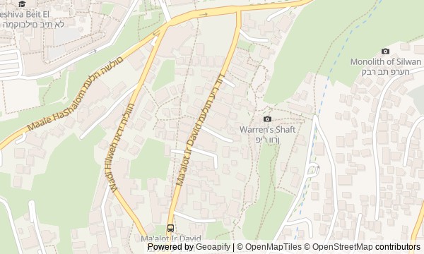
The route follows the ancient city's structure from bottom to top. First, the gate introduces the themes of boundary and control; then the hill reveals different ways of reading the past—from biblical conjecture to careful archaeology. The spring explains why the city took hold here; the tunnel shows how water was hidden in the rock; Siloam turns it into the start of public and ritual movement. From the pool, the Pilgrimage Road naturally leads toward Temple Mount, while the southern wall completes the walk with a picture of ascent and destruction. The underground sections do not match ordinary street navigation, so treat the map as a sequence of stops and follow the signs inside the complex.
those interested in history they can feel with their feet, ears, and body travelers ready for water, darkness, stairs, and a sustained climb those who want to see biblical memory, archaeological doubt, and the effects of recent urban decisions side by side
people with severe claustrophobia or a fear of dark underground spaces visitors who find wet, uneven stone and numerous steps difficult families with strollers and travelers who need a fully accessible route
Before you go
Wear shoes you do not mind getting completely wet, bring spare socks, and pack your phone and documents separately. For the water tunnel, bring your own reliable flashlight; a phone light is not enough for a comfortable passage. Underground sections can be tight, slippery, and cool even on a hot day, while the slope outside can be very hot, so drinking water is useful. Check access to the water system, the Pilgrimage Road, and Davidson Archaeological Park in advance: these sections may have different visiting conditions. Do not count on using a stroller or walker. At Dung Gate and on the streets of Silwan, remember that the route passes not only through monuments, but through everyday urban space.
When to go
Allow 3–4 hours. A fast pace rarely works here: time goes into descents, the wet passage, moving through narrow corridors, and exploring the southern wall. Without the water tunnel or the Pilgrimage Road, the walk will be shorter.
Backup plan
If the wet tunnel is unavailable, or if water and tight spaces do not suit you, take the marked dry passage and continue to Siloam. If the Pilgrimage Road is closed, leave the pool and reach the southern wall above ground through the Dung Gate area. If Davidson Archaeological Park cannot be entered, end the story at the southern wall from an accessible exterior viewpoint. You will still keep the route's main thread, but you will not see the steps, the remains of the arch, and the field of fallen stones up close.
Route conditions
Surface. Paved — 1.4 km (data covers 55% of the route)
Stairs. Flights: 4, 81 m in total
Access. Wheelchair — no; stroller — limited (stairs)
Facilities. Toilets — 2; drinking water — 1
Elevation. Ascent — 112 m; descent — 71 m
OpenStreetMap extract of June 18, 2026: database data, not a check on the ground. Data © OpenStreetMap contributors, ODbL licence
Walk plan
Open in maps ↗- 1
The Dung Gate
Here, a utilitarian passage of ancient memory becomes the boundary between sanctuaries, war, and modern control. - 2
City of David Center
A stop about three ways of seeking the past: through legend, sensation, and the patient reading of layers. - 3
Gihon Spring
The spring links the city’s everyday survival with Solomon’s anointing and the mystery of its ancient water supply. - 4
Hezekiah's Tunnel and the Siloam Inscription
The narrow water passage preserves the story of workers who heard one another through the thickness of the rock. - 5
Pool of Siloam
Here the city’s water supply became a place of washing, testimony, and the beginning of the ascent to the Temple. - 6
Pilgrimage Road
One city line holds two movements: a festive ascent to the Temple and a flight into a channel beneath the pavement. - 7
Davidson Archaeological Park and the Southern Wall
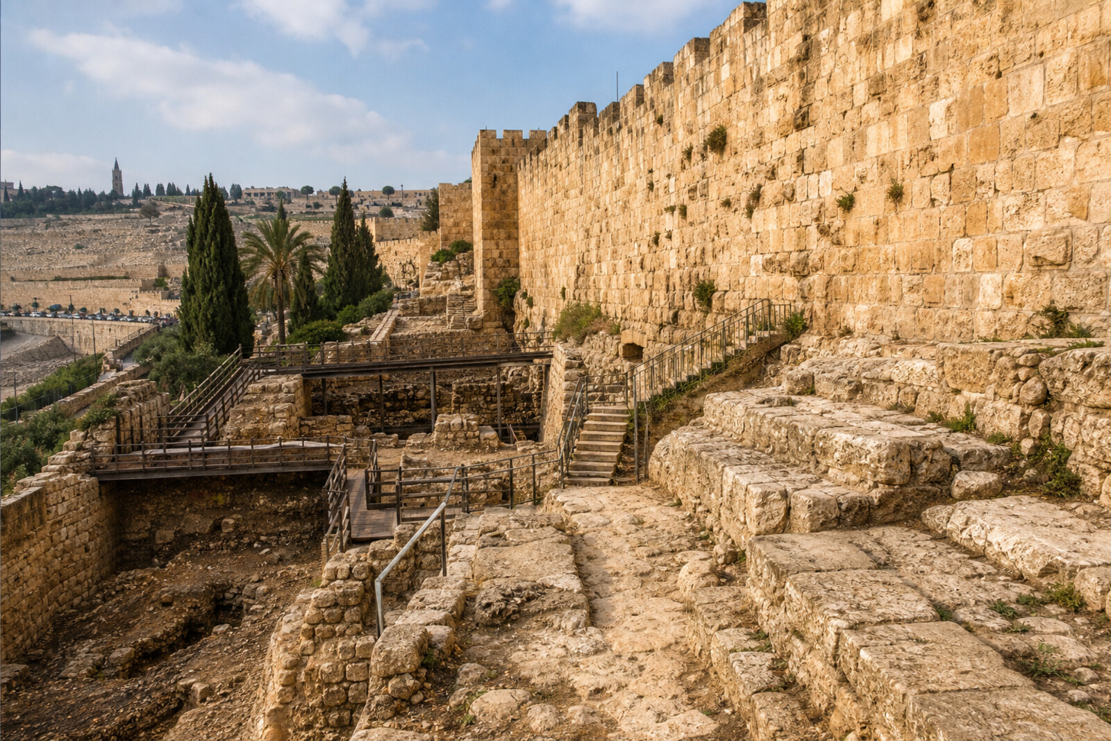
The finale connects the rhythm of the pilgrimage steps with the physical scale of the destruction of 70.
Route features
Everything you need stays in the browser
Progress, saves and your trip plan are stored on this device.
Add Guide On Map to your home screen so the walk opens outside the browser.
How we handle sources, maps and corrections: our editorial standards