 Guide On Map
Christianshavn: Canals, Ramparts, and Christiania
From Knippelsbro to the Free City of Christiania
Guide On Map on your phone
Open the walk like a regular app
It takes about 10 seconds to install. No app store needed.
The whole path
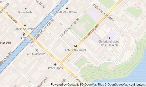
Route map
About the walk
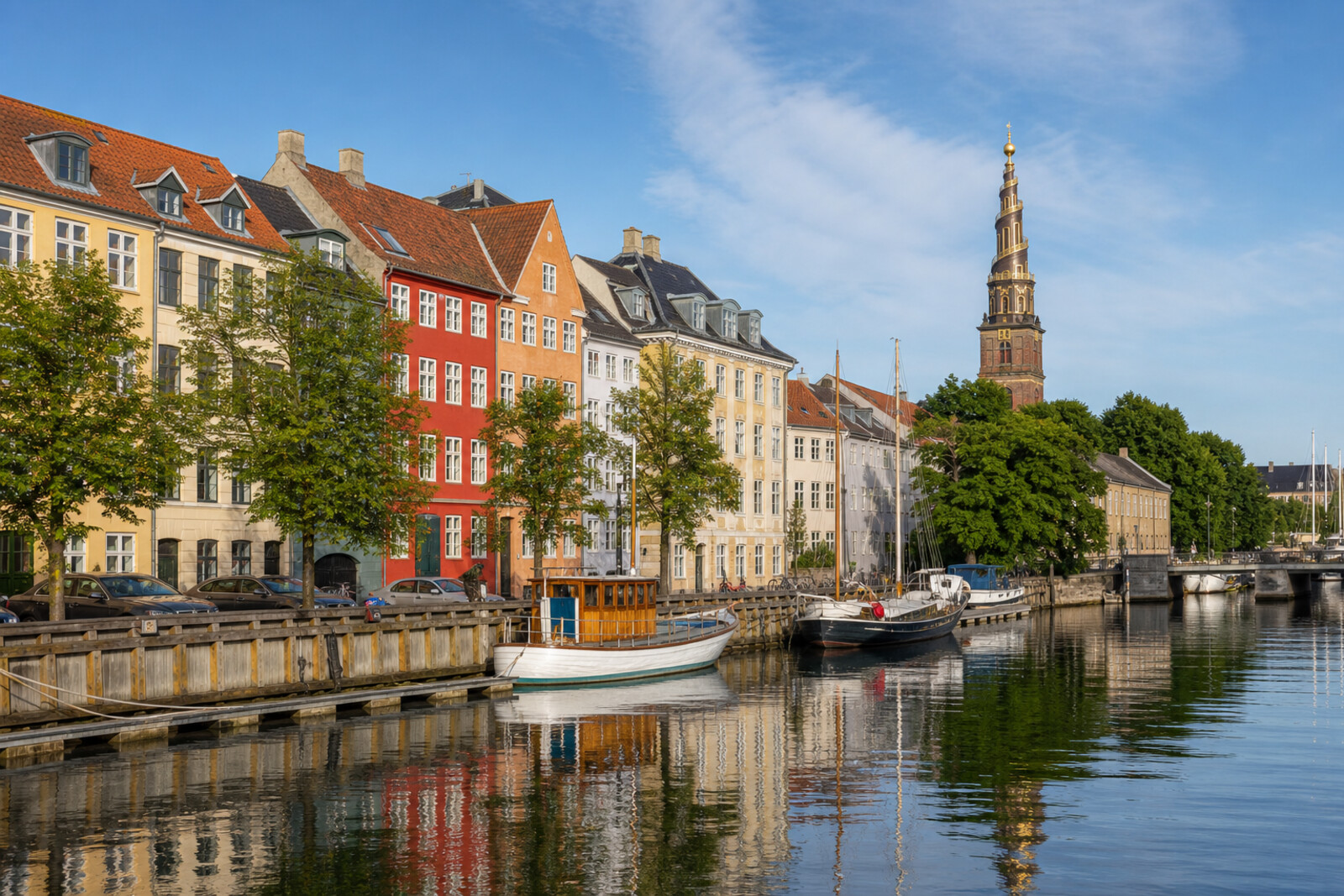
You will cross the harbor on Knippelsbro and enter Christianshavn: first heading for its straight canal and merchants' quays, then passing through the old square toward the earthen ramparts. From there, the golden spiral of the Church of Our Saviour will lead you to Christiania's former barracks.
Water will follow you for almost the entire route, but this is not a walk about postcard facades. You will see a district built in shallow water, sealed behind gates, marked out by tolls, and adapted once again for life. Questions will surface along the way: why did a gatekeeper's house move away from its own gate, what lies behind the elegant facade on the square, and how did an unsuccessful gift become transport for an entire community?
The story will unfold calmly and through tangible details. It will separate legends from documents, and show major change through a bridge span, a slab on a slope, and a wooden cargo box set before handlebars. By the end, you will recognize the history of Christianshavn in the way this place has repeatedly divided the road between water, power, and everyday life.
Why this order
From Knippelsbro, the route descends to the canal: after the story of the crossing, it becomes clear what trade the whole district was created for. The canal leads to Christianshavns Torv, where the other side of a royal trading project appears—forced labor. From the square, Torvegade takes you to the ramparts: internal order gives way to a literal border, with a gate, cargo inspections, and collections. At the former gate, a house and a slab stand apart; then, at the Church of Our Saviour, the story shifts from controlling entry to guiding ships through the harbor. Beyond the church, the road continues to Christiania's former barracks. After the royal city, the prison, the gate, and the church landmark, the finale is about people who rejected cars and created the transport they needed themselves.
Those who want to see Copenhagen beyond its grand center Those interested in urban engineering and everyday history Those who enjoy understanding a district through its streets and water
Those looking for a walk limited to Copenhagen's main postcard sights Those who do not want to hear a difficult chapter of prison history Those who need a route without historical detail
Before you go
Choose sturdy shoes: the route includes cobblestones, a bridge, slopes, and dirt paths along the ramparts. Weather matters especially by the water and on the spire's outdoor staircase; in strong wind or rain, it is better to skip the climb. Treat access to the church interior and tower as a separate visit, and check current conditions in advance. In Christiania, remember that this is a residential neighborhood: do not intrude on private spaces, ask permission before photographing people, and do not support illegal trade.
When to go
Daylight is best: it makes the canal-side facades, the details of the spire, and the less obvious traces of history on the ramparts easier to see. Allow extra time for the church if you want to go inside or climb to the top.
Backup plan
If the tower is closed or the weather makes the climb uncomfortable, view the exterior spiral from the ground and, if entry is available, visit the baroque organ inside. You can walk the ramparts without seeking out remote or overgrown sites: the main stories emerge along the general paths. If the atmosphere in Christiania feels tense, do not linger around busy trading areas, stay on open routes, and end the walk early.
Route conditions
Surface. Paved — 1.7 km; unpaved — 340 m (data covers 94% of the route)
Stairs. Flights: 3, 33 m in total
Access. Wheelchair — no; stroller — limited (stairs)
Facilities. Toilets — 4; drinking water — 1
Elevation. Ascent — 21 m; descent — 21 m
OpenStreetMap extract of June 18, 2026: database data, not a check on the ground. Data © OpenStreetMap contributors, ODbL licence
Walk plan
Open in maps ↗- 1
Knippelsbro
Here the route first brings a land route into contact with harbor work. - 2
Christianshavns Kanal and Overgaden Street
This stop will show the cost of turning marshy shallows into a commercial district. - 3
Christianshavns Torv
The square lets you see the reverse side of urban order behind a neat residential façade. - 4
Christianshavn Ramparts
Here, the fortress boundary survives in two traces that have diverged from one another. - 5
Church of Our Saviour
This stop takes the route from the former earthen boundary to a landmark designed for the entire harbor. - 6
The Free City of Christiania
The finale will connect the community’s car-free way of life with an object that later began to be mass-produced.
Route features
Everything you need stays in the browser
Progress, saves and your trip plan are stored on this device.
Add Guide On Map to your home screen so the walk opens outside the browser.
How we handle sources, maps and corrections: our editorial standards