 Guide On Map
Busan Coast: Haeundae, Dongbaekseom Island, and Cheongsapo
From Haeundae Beach around Dongbaekseom Island to the reefs of Cheongsapo
Guide On Map on your phone
Open the walk like a regular app
It takes about 10 seconds to install. No app store needed.
The whole path
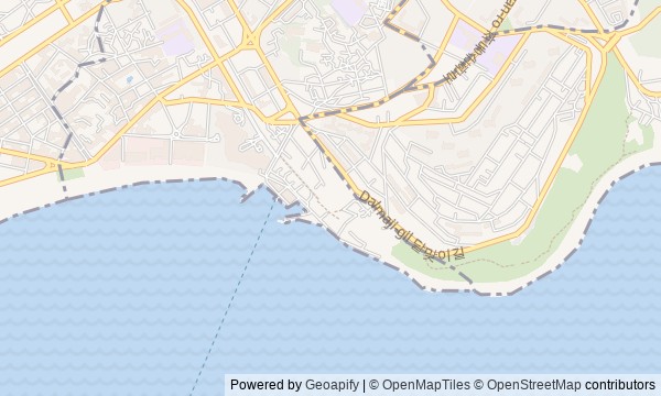
Route map
About the walk
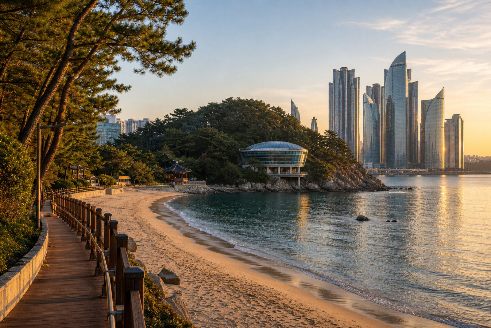
You will begin on the sand of Haeundae Beach, circle a former island through woods and over cliffs, emerge among yachts and towers, then transfer to the reefs of Cheongsapo. The coast will keep changing: beach, camellias, a wooden boardwalk, a bronze mermaid, a round pavilion, a carving in stone, a marina, and a path above the sea.
Along the way, you will find things and decisions that no resort postcard will show. You will learn why a short bridge recalls a much bigger project that never happened, what linked a yellow sphere to a family protest, and how a fishing name ended up above a transparent floor. You will get the answers on site, one at a time.
By the end, you will be able to read the Haeundae coast along its seams: to tell old rock from reclaimed land, and to see where a working map of the fishermen still lies behind the high-rises.
Why this order
The beach sets the route's main question: how people remake the edge of the sea, and what remains of their plans. From the sandy arc, the path enters a former island. An ancient land bridge explains the crossing itself, while new camellias reveal an attempt to give the place back its name. The woods end at a boardwalk above the cliffs; a short bridge leads directly to the mermaid, for whom the coastal passage was built. From the statue, the trail continues to Nurimaru APEC House: an invented sea story gives way to a place of real international agreements. Nearby, the Haeundae Carved Stone brings the route back to the origin of the whole coast's name. Then the bay reveals a low marina beside towers built on reclaimed land. The final transfer to Cheongsapo continues the same thread: after a remade bay, you will find yourself above old fishing reefs that have also become a tourist walkway.
Those who want to understand modern Busan through the making of its coast Those who enjoy cliffs, forest trails, and open sea views Those who value stories of construction, mistakes, and remaking
Those looking for a walk only through old neighborhoods Those who do not want a transfer between 2 parts of the route Those who need a fully indoor route
Before you go
Wear shoes with reliable grip: the wooden boardwalk and stones by the sea can be slippery after rain or spray. Part of the route follows the open coast, so check the wind and rain in advance, and obey the barriers once you are there—a beautiful angle is not worth stepping onto wet rocks. Check separately whether the indoor exhibition at Nurimaru APEC House is open and the status of Cheongsapo Daritdol Observatory: the pavilion may be closed to visitors, and the glass platform is shut in unsafe weather. Keep the route break in mind as well: getting from Marine City to Cheongsapo requires a separate transfer, not a continuation of the same walking path.
When to go
For a quiet beach and a cool trail, start in the morning. If the reflections of Marine City matter to you, save The Bay 101 for dusk, but weigh that against the transfer to Cheongsapo and access to Cheongsapo Daritdol Observatory: it is hard to catch both striking evening points in their best light without a pause or splitting the route.
Backup plan
In strong wind, heavy rain, or rough surf, do not try to force your way along the rocky edge and onto the glass platform. Split the route into 2 outings: keep Haeundae Beach, Dongbaekseom Island, and Marine City for a safe window, and move Cheongsapo to a day with confirmed access to the Observatory. If the weather changes while you are already out, end the walk at the nearest solid urban stretch; do not go down to the water for the statue or the inscription, and listen to the related stories under cover. Treat a closed Cheongsapo Daritdol Observatory as a reason to return, not to go around the barriers.
Route conditions
Elevation. Ascent — 53 m; descent — 52 m
OpenStreetMap extract of June 18, 2026: database data, not a check on the ground. Data © OpenStreetMap contributors, ODbL licence
Walk plan
Open in maps ↗- 1
Haeundae Beach
Here you will see why a broad strip of sand requires constant engineering work. - 2
Dongbaekseom Island
This stop explains why Camellia Island had to be replanted with camellias. - 3
Dongbaekseom Island Rock Trail
This short stretch will show how coastal protection changed an ambitious tourism plan. - 4
Princess Hwangok Mermaid Statue
The statue links an invented fairy tale, family memory, and the trace of a typhoon. - 5
Nurimaru APEC House
The preserved hall will show how the agreement made at the round table was tested after the summit. - 6
Haeundae Carved Stone
The carving will explain how an official's literary name became the name of the entire coast. - 7
The Bay 101 and the Reclaimed City
The bay will show what stood on the site of the marina and towers before reclamation. - 8
Cheongsapo Daritdol Observatory
The final stop will connect the fishing reefs with a new walking loop above the water.
Route features
Everything you need stays in the browser
Progress, saves and your trip plan are stored on this device.
Add Guide On Map to your home screen so the walk opens outside the browser.
How we handle sources, maps and corrections: our editorial standards