 Guide On Map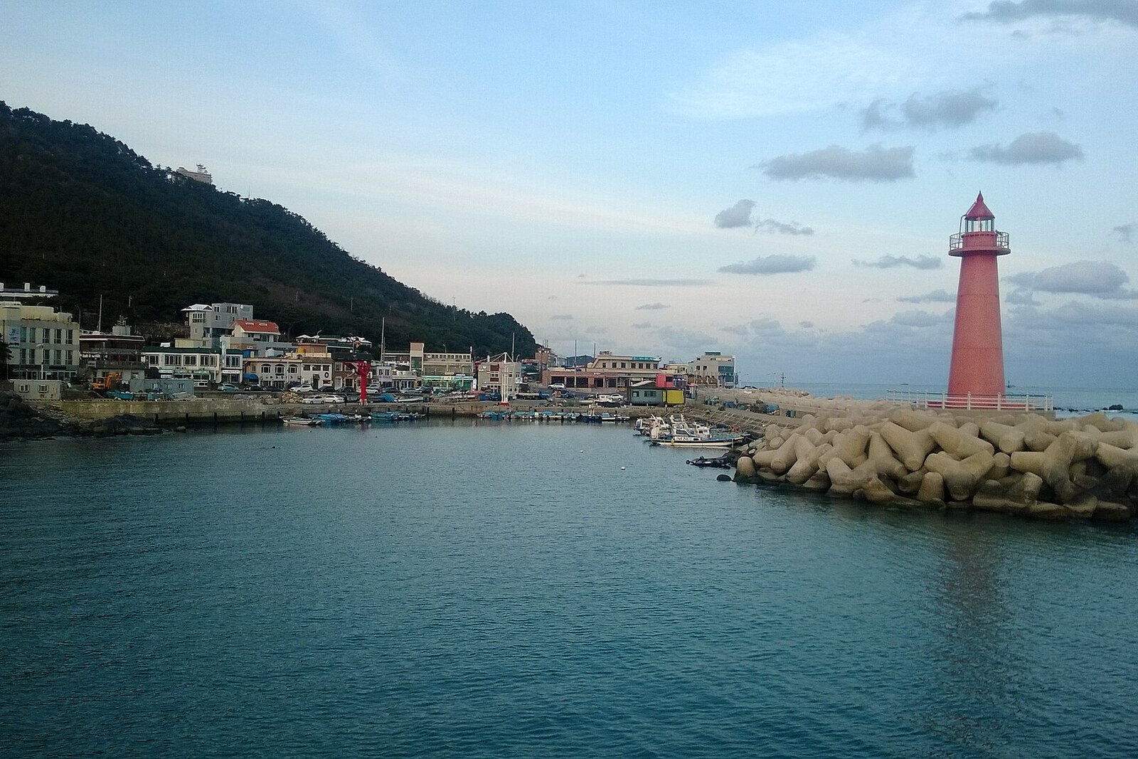
Look around first
What to notice
- Blue looped deck
- Transparent floor sections
- Daritdol Reefs
- Light beacon on the first reef
The story of the place
“Daritdol” is the old local name for five reefs stretching from the shore toward a marine navigation marker. From land, they looked like stones used to cross a stream, so Cheongsapo fishermen called them “stepping stones.” The blue deck appeared much later.
For fishermen, this row was part of their working map. Warm and cold waters meet here, and fish and seaweed gather around the rocks. Cheongsapo families lived off them and earned their living from them. The same reefs could puncture a boat’s hull. Locals distinguished all five rocks individually, and in nineteen ninety-eight navigation specialists installed a light beacon on the first reef to guide vessels past the dangerous shoal. The light visible from here marks a place where catch and risk lay side by side.
In two thousand seventeen, Haeundae-gu officials built a straight viewing walkway seventy-two and a half meters long over this stretch of sea. They were not satisfied with the working name Cheongsapo Daritdol Observatory: before the opening, they announced a nationwide Korean contest. Seven hundred twenty-four submissions came in. The judges chose the word local fishermen had used for a long time—“Daritdol.” That is how the name of the underwater ridge passed to the tourist attraction above it.
About one hundred seventy thousand people came here in the first months. The district began registering the name and the design of the walkway as its own tourism trademark, and visitor numbers continued to grow. By the summer of two thousand twenty-four, more than three million had been counted. Then builders extended the deck to one hundred ninety-one meters and closed it into a loop, so people could return to shore along the other side.
The transparent floor sections are placed directly over the water where fishermen distinguished their five reefs. The light beacon still stands on the first rock, and the other “steps” remain where they were before the contest and construction—in the sea.
Useful on site
Free; VisitKorea lists seasonal hours until 20:00–22:00, Visit Busan — 09:00–18:00/in summer until 20:00; check on the day.
Checked: June 28, 2026. Check the official source before visiting.If the transparent floor makes you dizzy, move slowly, stay closer to the opaque section, and do not rush yourself. If the entrance is closed, do not go around the barriers: wind and sea conditions matter here more than clear skies.