 Guide On Map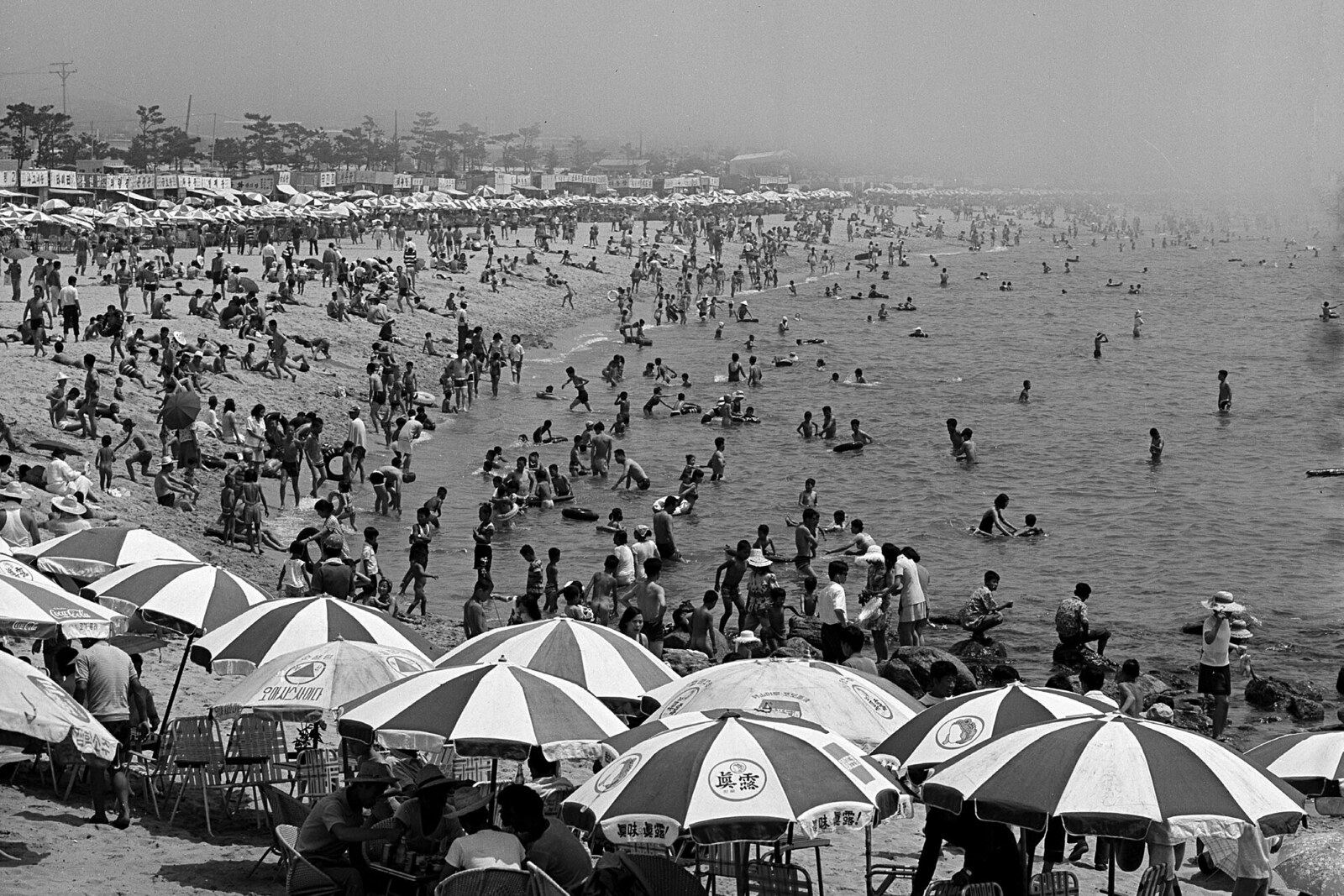
Look around first
What to notice
- The strip of white sand
- The stone groyne at Mipo Port
- The surf line
The story of the place
Haeundae forms a sandy arc between Dongbaekseom Island and Mipo Port; hotels, the promenade, and port facilities already press close behind the white strip. While the coast remained low-rise, water and wind maintained the familiar terrain, but reclaimed districts and development changed their course. Coastal currents carry sand in different directions depending on the season, so the surf line here remains a shifting boundary between the sea and the city.
The sand beneath your feet bears the marks of a major construction project. Over five years, engineers brought about five hundred eighty thousand cubic meters of sand to Haeundae, built a stone groyne at Mipo Port, and concealed two breakwaters underwater. Without this work, the shoreline would run noticeably closer to the promenade.
Haeundae officially opened for swimming in nineteen sixty-five. The beach formed an arc between Dongbaekseom Island and Mipo Port, where coastal currents constantly shift the sand: in summer they carry it one way, and in winter the other. As long as low-rise buildings stood behind the shore, this change in direction maintained the familiar terrain. From the nineteen eighties onward, developers began occupying the coast with hotels, port facilities, and reclaimed districts. West of the beach, part of the former bay was filled in for Marine City. The path of the water and the wind regime changed, and the sand began disappearing faster.
In the nineteen seventies, the beach was up to about seventy meters wide. By two thousand thirteen, only thirty-eight meters remained in some places. For several decades, district employees added sand before the summer season, but the sea carried away a substantial part of the added material. They then hired specialists, who spent three years tracking where the sand moved in summer and where it returned in winter. After that, the Ministry of Oceans and Fisheries and the Busan Port Construction Office began a five-year restoration of the shore.
The engineers did not try to fix the sea's edge permanently in place. They added a reserve of sand and placed barriers along its usual paths of loss. At Mipo Port, a stone groyne one hundred twenty meters long extended out into the sea. Nearby, they laid an underwater breakwater one hundred eighty meters long, and another, one hundred fifty meters long, on the Dongbaekseom Island side. In two thousand thirteen, the average width of the sandy strip was forty-four meters; a year and a half later, it reached eighty-eight. By the completion of the work, the shore retained about eighty meters.
The engineers' work did not end there. Between two thousand sixteen and two thousand twenty, Haeundae again lost almost a quarter of its area of white sand. Waves carried part of the added material beyond the visible shoreline, onto underwater sandbars. That is why the broad strip in front of the promenade includes imported sand, the stone groyne at Mipo Port intercepts its movement, and the other two structures remain underwater. The line where the beach ends today is another position of the shore, which engineers continue to monitor.
Useful on site
The beach area is free; official swimming season 2026: 26.06–15.09, 09:00–18:00.
Checked: June 28, 2026. Check the official source before visiting.Near the water, watch the waves and do not leave belongings close to the surf. During the busy season, move away from the central part of the beach if you want to take a quiet look at the shape of the shore.