 Guide On Map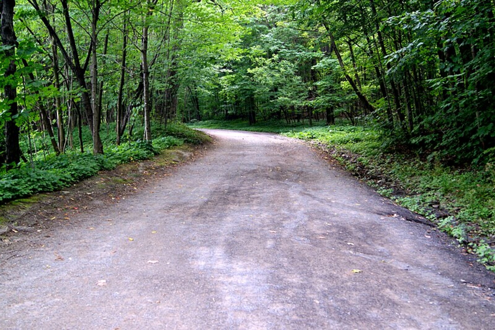
Look around first
What to notice
- The road’s long bends
- The cross’s steel frame
- The LED outline
- Concrete supports
The story of the place
The broad road by the cross is named after Frederick Law Olmsted, the landscape architect whom Montreal commissioned to create an urban park here. When Olmsted first climbed the mountain in eighteen seventy-four, he warned his clients that its steep, broken terrain was poorly suited to an ordinary place of recreation. Olmsted did not want to level it. He laid out a gentle ascent for carriages and pedestrians, dividing the route among eight sections with different terrain and vegetation. A person was meant to gain elevation gradually, rather than reach the top by the shortest route.
The city carried out the design only in part, but today’s Olmsted Road has preserved its central calculation: long bends reduce the grade and make visitors cross the mountain in sequence. In eighteen seventy-six, the city opened the park, although the architect himself continued refining the plan for several more years.
In that same year, eighteen seventy-four, the Saint-Jean-Baptiste Society announced that it wanted to erect a commemorative cross on the mountain. The civic organization intended to recall the act of Paul Chomedey de Maisonneuve, the founder and governor of Ville-Marie, as the young settlement on the site of Montreal was then called.
At Christmas in sixteen forty-two, a river flood threatened Fort Ville-Marie. It had been built only a few months earlier; the loss of the fort could have doomed the settlement along with the colonists’ supplies and homes. Maisonneuve promised the Virgin Mary that, if the water receded, he would set up a cross on the mountain. The flood did not destroy the fort. On January sixth, sixteen forty-three, the governor hoisted a heavy wooden cross onto his shoulder, walked about one league behind a procession, and raised it at the summit. The Jesuits recorded this episode; afterward, pilgrims began climbing to the cross.
Maisonneuve’s wooden cross and the steel structure by Olmsted Road are separated by almost three centuries. The Saint-Jean-Baptiste Society intended to create precisely a commemorative marker, but it took fifty years to carry out the plan. In nineteen twenty-four, four thousand two hundred adult volunteers and one hundred thousand schoolchildren across the province sold stamps depicting the future cross for five cents each. They raised ten thousand dollars.
With that money, workers assembled a twenty-six-ton steel frame on the mountain. They placed it high above the city, where the sign dedicated to Maisonneuve’s ascent could also be turned into a nighttime beacon. On December twenty-fourth, nineteen twenty-four, two hundred forty lamps outlined the cross above Montreal for the first time.
In nineteen twenty-nine, the society handed the structure over to the city, but no transfer document has survived. For decades, municipal services repaired and illuminated the cross, which the city still did not formally own. The city council approved the transfer only in June two thousand four.
The basis of today’s cross remains the steel structure from nineteen twenty-four: thirty-three meters high, one thousand eight hundred thirty parts, more than six thousand rivets, and eight concrete supports. The old lamps have been replaced with LEDs, but they repeat the same luminous outline for which schoolchildren collected five cents at a time.
Useful on site
Like the park: daily 06:00–24:00; check trail and work conditions before setting out; checked 2026-06-29.
Checked: June 29, 2026. Check the official source before visiting.Do not cut across the slope: the road’s loops are the main subject of this stop. The cross may not be visible from every section, so do not look for it at the cost of an inconvenient or unsafe detour.