 Guide On Map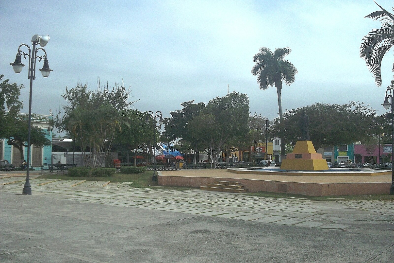
Look around first
What to notice
- The church’s high atrium
- Stone steps
- The slab on the facade
- The black statue in the park
The story of the place
In the spring of eighteen sixty-seven, soldiers loyal to Emperor Maximilian I held Santa Ana Square and the church roof. The high atrium raised them above the open space, and today’s Calle 60 led directly from here to Mérida’s center.
Mexico was then governed simultaneously by two governments. Maximilian I was supported by French interventionists and Mexican monarchists; President Benito Juárez continued the struggle for the republic. In Yucatán, the emperor’s interests were defended by José Salazar Ilarregui—an imperial commissioner, meaning the provincial leader appointed by Maximilian I.
Mérida was surrounded by units of Manuel Cepeda Peraza, a republican officer who sought to return his native city to Juárez’s supporters. Cepeda had lived in military service since the age of sixteen. After a previous defeat, he had already been exiled to Cuba; another failure could again have ended in captivity or exile.
The siege lasted fifty-six days. Salazar ordered the city defended, and his soldiers occupied Santa Ana along with the church roof. The republicans advanced on the square in three columns at the same time and drove out the defenders. Losing the position did not yet end the siege, but it opened a direct road to the central neighborhoods.
On June fifteenth, Salazar signed the capitulation. The next day Cepeda entered Plaza Grande, after which he was appointed military commander and governor of Yucatán. Salazar faced execution, but Mérida’s residents came to his defense. Cepeda spared his life and sent him into exile—first to Cuba, then to New York. The church steps still raise the entrance above the street, and beyond the park Calle 60 still runs straight toward the cathedral.
The name Santa Ana appeared here before this battle. In Christian tradition, Saint Anne was the mother of the Virgin Mary. In seventeen twenty-nine, Governor Antonio de Figueroa y Silva paid for the church’s construction from his own funds. Local historical tradition links the choice of the saint to his deceased mother, who was also named Anne.
Figueroa ordered the rocky site leveled, fifty orange trees planted before the church, and a direct promenade with stone arches laid out to the cathedral. A neighborhood of artisans and day laborers grew up around the church. The governor himself died around the time the work was completed, while returning from a military campaign toward Bacalar. He was buried by the entrance; a stone slab on the facade bears his name. The arches and orange-tree avenue disappeared, but the church, square, and street he laid out remained.
The black statue in the park depicts Andrés Quintana Roo—a lawyer and journalist born in Mérida who joined the struggle for Mexico’s independence and presided over the assembly that proclaimed it in eighteen thirteen. The city council officially named the square after him in eighteen seventy-seven; the present statue was installed in nineteen seventy-two. In official documents, this is Andrés Quintana Roo Park, while the church, market, and entire neighborhood have kept the old name—Santa Ana.
Useful on site
The park is always open; the church operates on a church schedule without regular visitor hours.
Checked: date not specified. Check the official source before visiting.This account is intended for an exterior visit. Do not block the passage at the church entrance, and keep quiet inside.