 Guide On Map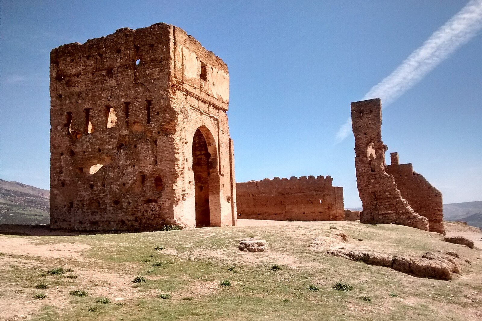
Look around first
What to notice
- Open slope
- Ring road
- Northern wall
- Marinid Tombs
The story of the place
On the night of May twenty-fourth to twenty-fifth, nineteen twelve, detachments opposing the newly established French Protectorate in Morocco occupied the northern approaches to Fez. From the heights between Borj Nord and the Marinid Tombs, they fired on Bab Guissa. French Colonel Henri Gouraud, tasked with holding Fes el-Bali, climbed the minaret by the gate to assess the enemy positions. Bullets knocked plaster away beside his face; one nearly struck his eye. The garrison repelled the assault at Bab Guissa, and the attackers failed to take the city from this side.
A few years later, the French administration incorporated the same terrain into the Tour de Fès ring-road project—the “Fez Bypass.” Resident-General Hubert Lyautey wanted the new road both to attract travelers and to allow units to be moved quickly to any city gate. Georges Mellier, head of municipal services, acquired land for the route in the early nineteen twenties. About fifteen kilometers long, the road circled the medina from the outside: cars still could not enter the old streets, but they could bring people to the needed section of wall.
On April thirteenth, nineteen twenty-two, French President Alexandre Millerand was driven along the still-new ring road. His motorcade stopped at the Marinid Tombs, and from the heights Lyautey showed the president Fez's monuments and explained the events of nineteen twelve. The hill from which Bab Guissa had been fired on ten years earlier was included in the city's official automobile tour.
What remains of that project is the very layout of the approach: a road circles the northern walls, and the final stretch to the tombs runs along an open slope. The path leads to the medieval necropolis, but its current role emerged thanks to people who needed to drive up to the heights and see all of Fez at once.
Useful on site
Free access; climb only in daylight.
Checked: June 22, 2026. Check the official source before visiting.Follow the established path, do not cut across between the graves, and keep a respectful silence.