 Guide On Map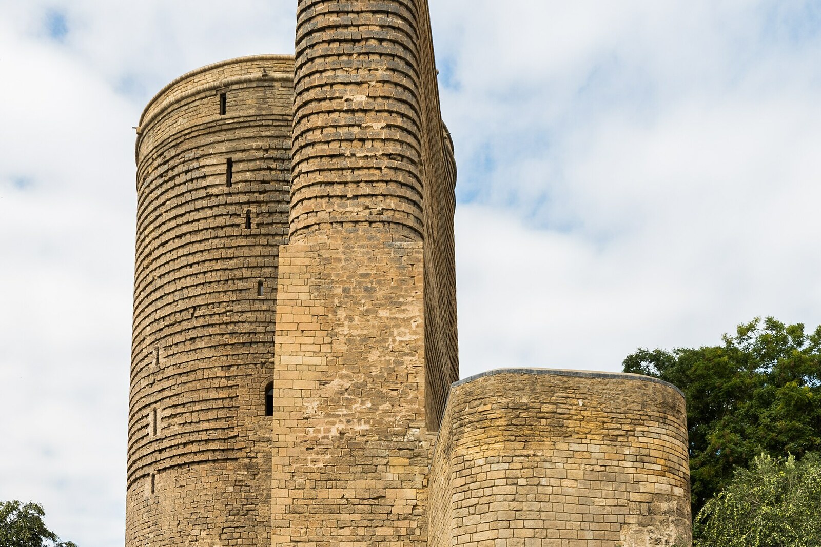
Look around first
What to notice
- The stone slab in the tower's masonry
- The arches of the Syratagly complex
- The uncovered gravestones
- The avenue and boulevard between the tower and the Caspian Sea
The story of the place
On June thirteenth, eighteen fifty-eight, the maritime service lit an oil lantern with reflectors at the top of the Maiden Tower. Captains needed a distinguishable signal when entering Baku Bay, and the tower stood directly above the shore, lifting the light to nearly thirty meters. It could be seen from about fifteen kilometers away.
At that time, the sea came right up to the rock below the tower. No avenue or boulevard existed between it and the Caspian Sea. That is why one city legend sends a shah's daughter straight from the summit into the water. It is only a legend: researchers do not know how the tower got its name or which maiden lies behind it. The only person named on the ancient masonry was Masud ibn Dawud. At a height of about fourteen meters, a slab survives with the inscription “the tower of Masud ibn Dawud,” but the stonemason did not state Masud ibn Dawud's position or intention.
There is no such uncertainty about the lighthouse. At first, the navigational light helped sailors; then houses and street lighting began to make it difficult to distinguish. By day, the stone tower was lost against the hills; by night, its signal merged with the city lights. In eighteen ninety-five, maritime engineers painted its upper section with a broad white stripe. Captains still did not receive a sufficiently reliable landmark. In nineteen oh seven, the light was moved to Böyük Zirə Island, then called Nargin. The tower was left without its lantern, and ships were met by a lighthouse at the entrance to the bay.
By then, people were already reshaping the shore itself. In eighteen sixty-five, Baku governor Mikhail Kolyubakin obtained permission to dismantle a section of the fortress wall facing the sea. Warehouses, wharves, and trading-company buildings appeared on the exposed strip. The narrow shore served cargo and vessels.
On April seventh, nineteen oh nine, Mammadhasan Hajinski, an engineer and head of the construction department of the city administration, proposed giving part of this strip to the city's residents. Earlier waterfront projects had not received funding, so Hajinski brought the city duma a calculation: kiosks selling flowers and refreshments could bring the treasury from four to six thousand rubles a month. The deputies allocated ten thousand rubles for laying out the boulevard, and another two and a half thousand annually for its upkeep. A green strip was planted between the Caspian Sea and the coastal Alexander II Street (now Neftchilar Avenue). Later infill and extensions pushed the water still farther from the tower.
Another route approached it from the north. Medieval trading rows began at the Double Gates, stretched past caravanserais to the Maiden Tower, and continued to Juma Mosque. Merchants entering the city from the land met here with goods delivered across the Caspian Sea. The name of Bazar Square preserves this trade line.
The stone arches in the hollow were uncovered only in nineteen sixty-four, when workers were landscaping the area near the tower. Archaeologists discovered the Syratagly religious complex and fifty-two graves; some burials had been reused, while individual ones dated to the pre-Islamic period. The visible arches belonged to a place of prayer and burial, while the market occupied the surrounding space and streets.
There is no longer a lighthouse lantern at the top of the tower. On its northern side, the arches and gravestones of Syratagly have been uncovered, while on the side of the former shore lie the avenue and boulevard. The former Caspian shoreline, for which the navigational light was lit here, ran at the foot of the rock.
Useful on site
Maiden Tower daily 10:00–19:00; Bazar Square accessible daily and free.
Checked: date not specified. Check the official source before visiting.The ascent inside the tower follows a narrow spiral staircase and is not suitable for everyone. Without going up, walk around the base from different sides: from outside, the shape of the projection and the building's connection to the rock are easier to make out.