 Guide On Map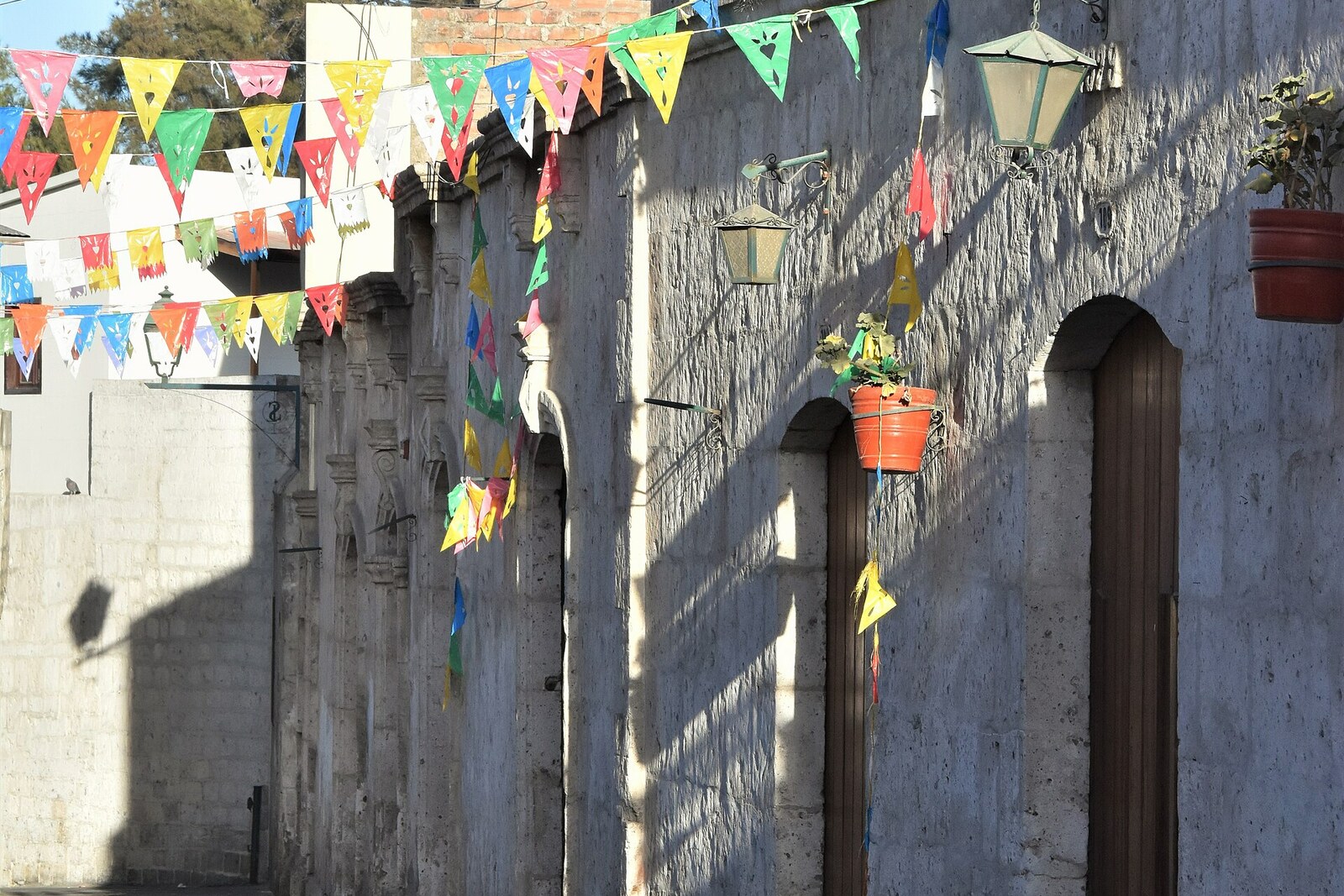
Look around first
What to notice
- Narrow lanes
- White obelisk
- Coat of arms of Arequipa
- Church facade with three openings for bells
The story of the place
Narrow lanes of San Lázaro converge on Campo Redondo Square. They appeared before the Spanish rectangular street grid: this was the settlement of the Yarabaya, local farmers who used water from irrigation canals carried down the slope. The square served as its open center; later, people traded here and held community celebrations.
The white obelisk bearing the coat of arms of Arequipa was erected in honor of the city’s founding. The square’s name, however, preserves an error. Camporredondo was the surname of the Spanish captain Pedro Anzúrez de Camporredondo, who was regarded as the founder of Arequipa for a century and a half. The current spelling divided that surname into two words.
Anzúrez did take part in the event from which San Lázaro received its name. After an unsuccessful expedition to Chile, the conquistador Diego de Almagro occupied Cusco and took Francisco Pizarro’s brothers prisoner. Having been freed, Hernando Pizarro assembled an army to retake the city. For Anzúrez, a cavalry captain, the outcome would decide whether he retained his standing among Pizarro’s men and whether he received soldiers for the next expedition of conquest.
On April sixth, fifteen thirty-eight, the opponents met at salt springs near Cusco. Anzúrez carried one of the imperial banners; his brother Gaspar rode beside him. Pizarro’s men won, Almagro was taken prisoner, and three months later he was strangled in prison and beheaded. After the victory, Anzúrez was given a new detachment and sent on an expedition beyond the eastern slopes of the Andes.
According to the historical version accepted in Arequipa, the day of the battle fell on the feast day of Saint Lazarus. When Pizarro’s supporters settled among the Yarabaya, they established a chapel here in memory of their victory and dedicated it to San Lázaro—Saint Lazarus. The chapel’s name passed to the whole settlement. Nothing remains of that building: the present Church of San Lázaro was built after the earthquakes of eighteen fifty-five, and its facade with three openings for bells dates to nineteen fifty-two.
In the middle of the eighteenth century, the chronicler Ventura Travada declared the standard-bearer Anzúrez the founder of Arequipa. Other authors repeated the error, and a book by the dean Juan Gualberto Valdivia spread it across the country as material for educating young people. Officials and men of letters linked the surname of the supposed founder to this square, previously called Matorral Square—Square of the Thickets. A plaque bearing the names of the first townspeople was attached to the obelisk.
In eighteen ninety-one, the city council secretary and teacher Francisco Javier Delgado found a fragment of the founding record in the archive. The first volume of council resolutions and the original deed had disappeared, but a copy in the second volume named a different man: Garcí Manuel de Carbajal, acting on an assignment from Francisco Pizarro, founded the city. The ceremony took place at today’s Plaza de Armas; Anzúrez was not there.
Delgado’s discovery was published, but when the square was improved in nineteen oh eight, the municipality officially fixed the name Campo Redondo Square for it. The plaque on the obelisk later disappeared. What remain are the carved coat of arms and the surname of the man whom the discovered document struck from the founding of Arequipa.
Useful on site
Public streets are accessible around the clock; it is best to walk through in daylight.
Checked: date not specified. Check the official source before visiting.This is a residential neighborhood, not a museum set: do not block the narrow passageways or house entrances. For the finale, the streets, square, and an exterior view of the church are enough.