 Guide On Map
From Notre-Dame de la Garde Basilica to Vallon des Auffes (formerly Vallon du Roy)
Through Vauban and Roucas-Blanc—from the fortified summit to Corniche Kennedy and a working fishing harbor
Guide On Map on your phone
Open the walk like a regular app
It takes about 10 seconds to install. No app store needed.
The whole path
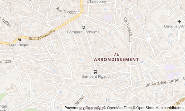
Route map
About the walk
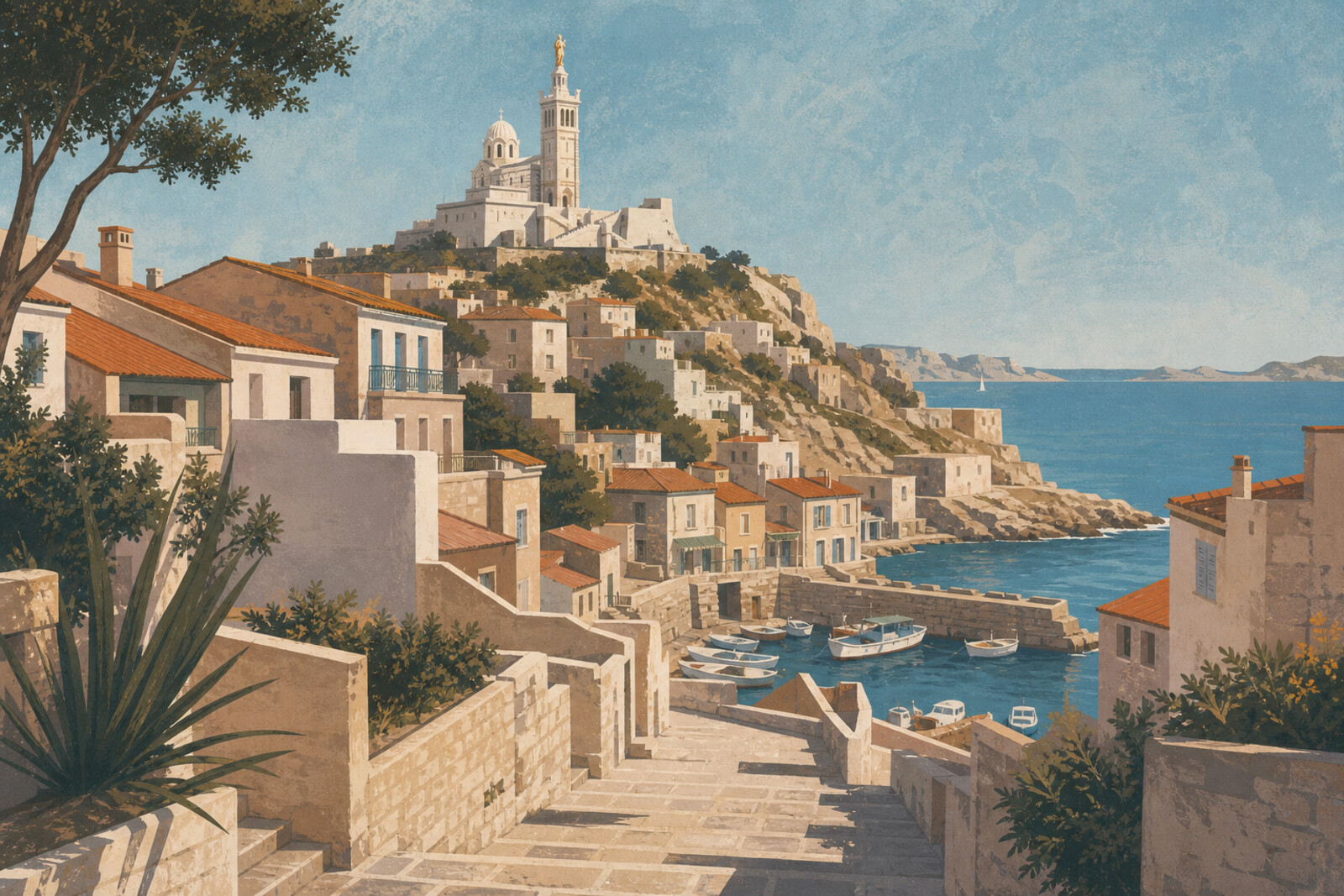
You will begin above Marseille, at Notre-Dame de la Garde Basilica, where the sanctuary stands on the walls of a fort. Then the route heads downhill: along the stairs and short passages of Vauban, past the villas of Roucas-Blanc, and on to the rocky coves and the Corniche Kennedy. It ends beneath the viaduct, beside the boats of Vallon des Auffes (formerly Vallon du Roy).
Along the way, questions will come up that a postcard view cannot answer. Why was the key to the fortified summit on the inside of the gate? Why did a villa owner put a ship on the pediment? How did the guests of a family hotel manage to leave before requisition? And why did a workers' road along the sea lead its builders to Château d'If?
The story rests not on famous names, but on objects and actions: a staircase, a loaf of bread, a key, a hotel debt, an inscription in stone. By the end of the walk, you will know how to read this particular stretch of Marseille coast: from the fort and a neighborhood on the dry slope to a concrete sidewalk above the rock and boats beneath three arches.
Why this order
The route moves from top to bottom, steadily changing scale. Notre-Dame de la Garde Basilica first reveals the hill as both a sanctuary and a military position; the descent into Vauban explains how such a height was made livable through water, stairs, and short passages. On the same slope, Villa Costa replaces workers' homes with private wealth earned at the port, while the ship on its pediment prepares the way to the sea. Below, the family hotel turns the pictured shore into a place of human rescue and return. The climb from its cove to Corniche Kennedy takes the story from private history to a public road built by unemployed workers. That road leads to the arch above the sea, where memory of a distant front is framed by the port. From the monument, all that remains is the descent beneath the viaduct: the route ends not with a symbol, but with a small harbor, boats, and the trade that gave the cove its name.
Those who want to see Marseille beyond the Old Port Those who enjoy routes with stairs, slopes, and an arrival at the sea Those interested in human stories behind familiar views
Those who avoid steep descents and stairs Those looking for a walk only along a level waterfront Those who do not want to hear about war and labor conflicts
Before you go
Wear shoes with good grip: after the summit come stairs, steep descents, and occasionally uneven surfaces. Bring water, sun protection, and a light layer for the wind—the weather on the hill and Corniche Kennedy feels stronger than it does inside the neighborhoods. At Notre-Dame de la Garde Basilica, keep services in mind and remain quiet; part of the stop can be viewed from outside. Anse de Maldormé may remain partly fenced off because of works and unstable rocks: do not go beyond barriers or try to descend broken stairways. The route passes close to homes and a working harbor, so do not enter private passages or block access to boats.
When to go
Allow 2–3 hours for the full route: the descent requires attention, while the panoramas, monument, and harbor invite unhurried stops.
Backup plan
If the stairs prove too demanding, do not try to preserve an uninterrupted descent at all costs: reach an accessible street and continue to the next section by public transit or taxi, checking a current map. The route is easy to shorten to its seafront section by starting at Corniche Kennedy and walking via Porte d'Orient (Monument to the Heroes of the Army of the East and Far Lands) to Vallon des Auffes (formerly Vallon du Roy). If access to Anse de Maldormé is closed, skip the descent into the cove and view the coast only from the permitted public area. In strong wind or heat, it makes sense to divide the walk into upper and coastal sections.
Route conditions
Surface. Paved — 1.7 km; unpaved — 204 m (data covers 53% of the route)
Stairs. Flights: 7, 256 m in total
Access. Wheelchair — no; stroller — limited (stairs)
Facilities. Toilets — 3; drinking water — 5
Elevation. Ascent — 37 m; descent — 139 m
OpenStreetMap extract of June 18, 2026: database data, not a check on the ground. Data © OpenStreetMap contributors, ODbL licence
Walk plan
Open in maps ↗- 1
Notre-Dame de la Garde Basilica
The height is needed to immediately link the sanctuary, the old fort, and the struggle for control of Marseille. - 2
Vauban district
Here you will see how bringing in water turned a dry slope into a residential district with its own shortcuts. - 3
Roucas-Blanc: the white rock
The home of a port entrepreneur shows how a fortune earned at the quays rose up the white slope. - 4
Anse de Maldormé
A family hotel will give a human scale to the history of wartime Marseille. - 5
Corniche Kennedy
The coastal road will connect a sea view with a labor conflict that began during its construction. - 6
Porte d'Orient (Monument to the Heroes of the Army of the East and Far Lands)
The arch will bring the memory of a distant front directly to the sea route along which the soldiers departed. - 7
Vallon des Auffes (formerly Vallon du Roy)
The final harbor will bring the whole route back to the craft, water, and boats that drew people to settle here.
Route features
Everything you need stays in the browser
Progress, saves and your trip plan are stored on this device.
Add Guide On Map to your home screen so the walk opens outside the browser.
How we handle sources, maps and corrections: our editorial standards