 Guide On Map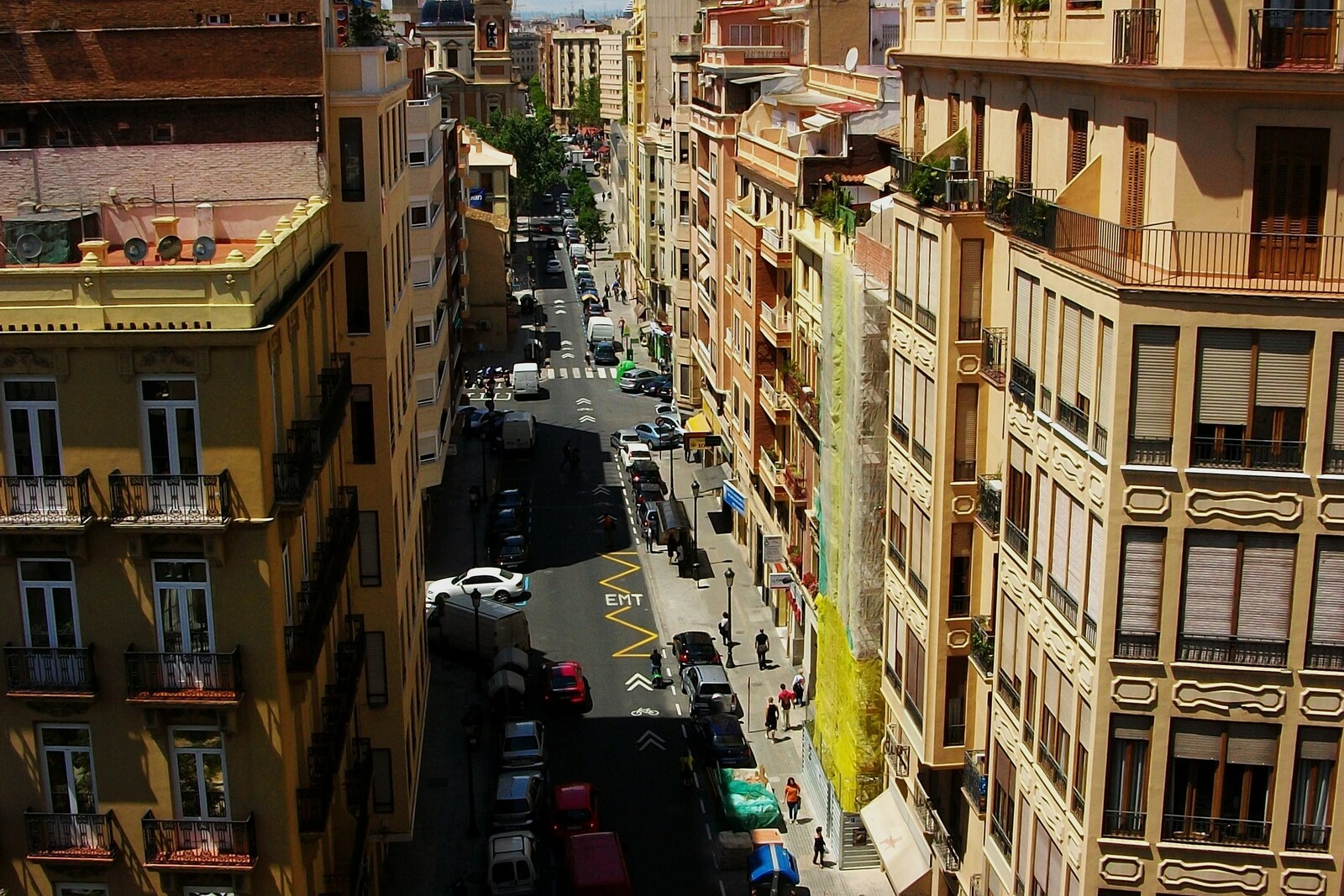
Look around first
What to notice
- The straight line of Quart Street
- The intersection with Cañete Street
- Quart Towers at the end of the street
- Street signs
The story of the place
Quart Street follows the westward continuation of the main cross street of Roman Valentia—the city from which Valencia grew. The medieval walls came later and cut across a road that already existed. Beyond the gate, it led toward the settlement of Quart de Poblet. The fourth Roman milestone from Valentia stood there: the Latin “quartum” first gave its name to the settlement, then to the road, the street, and the towers.
In one hundred thirty-eight BCE, the Roman consul Decimus Junius Brutus founded a colony here and granted land to former soldiers from the wars against the Lusitanians. While the war was under way, these people lived by military service and risked dying far from home. After it, a plot of land meant a farm, an income, and a place in a new community for a veteran. Among the settlers were the Paeligni—an Italic people from the mountainous region now called Abruzzo.
Their origins became clear because Paeligni families buried their dead according to their customary rite. They laid out the cemetery outside the city as it then stood, along this road: Roman law prohibited burying and cremating bodies within a settlement. Near the present-day intersection of Quart Street and Cañete Street, archaeologists found chamber tombs with side niches. Amphorae, vessels, and iron body scrapers lay beside the dead; in one tomb, they left the head of a sacrificed pig. Such chambers and sets of grave goods almost exactly repeat burials around Corfinium, the chief city of the Paeligni in Italy.
The settlers received Roman land and built Roman Valentia, but they saw off their dead as their families did on the other side of the sea. There is no exposed necropolis on the street now: excavations took place on plots beyond the towers, between Quart Street and Cañete Street. The spatial sequence remains—the city street, the gate, the former cemetery, and the road to the fourth milestone.
Useful on site
This is not a single-site monument, so listen to the story as you walk, without lingering at the entrances to residential buildings. At intersections, stay on the sidewalk and watch the traffic.