 Guide On Map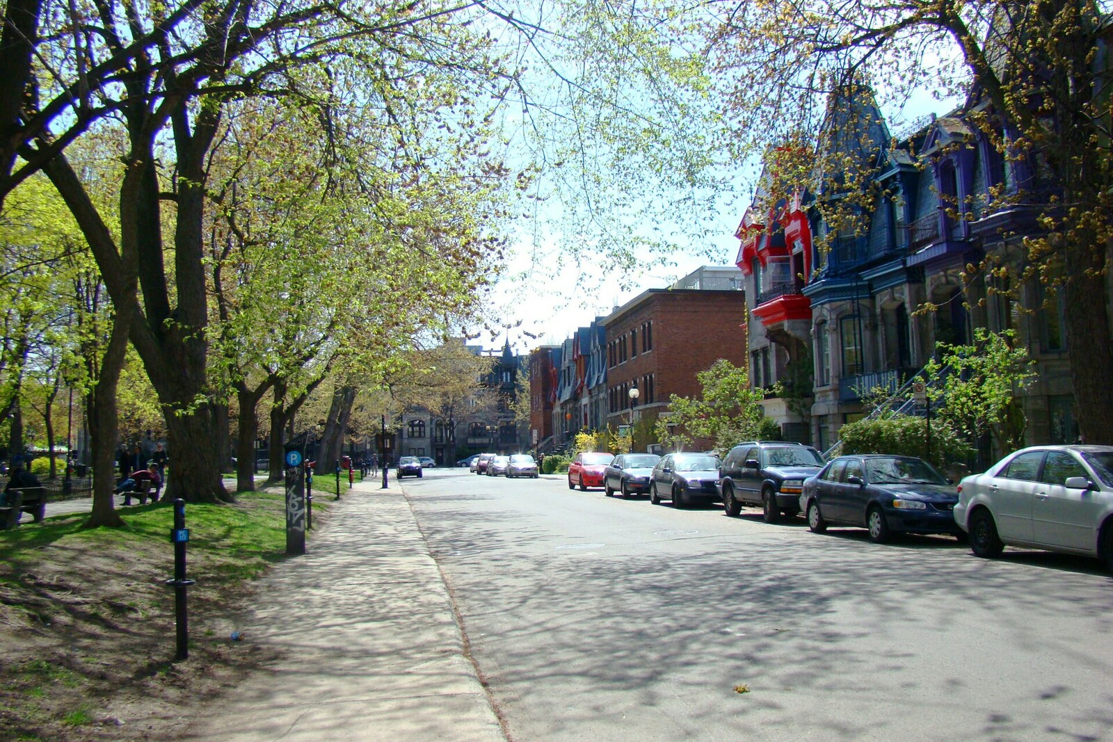
Look around first
What to notice
- Cast-iron fountain
- Lawns and paths
- Trees around the perimeter
- Stone and brick houses
The story of the place
Since eighteen fifty-one, the site of today's lawns held the city's water reserve: a rectangular reservoir occupied the center of the square. When its capacity became insufficient for growing Montreal, workers dismantled the water-retaining embankment, reshaped the basin's edges, and laid out paths. Stone and brick houses stand around the perimeter of the former reservoir, while a cast-iron fountain is visible in the middle, brought here from another square in nineteen thirty-one. It was installed above part of the former reservoir.
The trees and elegant facades around the square appeared here thanks to a land speculator's calculation. In eighteen forty-eight, the entrepreneur Alexandre-Maurice Delisle sold Montreal officials the middle of his plot on the Côte-à-Baron rise. They planned to build a city reservoir here. Delisle kept the land around the edges: its future price depended on what would stand in front of the windows.
That is why, in the contract, he set out in advance what the as-yet-unbuilt neighborhood would look like. The streets on either side of the reservoir had to have a fixed width; houses could be built of stone or brick and roofed in metal. Industrial buildings were prohibited, including distilleries, tanneries, and textile businesses. Delisle required trees to be planted and the view across the reservoir not to be blocked by a high wall. He was selling the plot for the city's water supply, while also protecting the value of his remaining property.
The reservoir opened in eighteen fifty-one and was named the Jean-Baptiste Reservoir, though the name never really caught on. It occupied the rectangle of today's square. By the end of the eighteen seventies, it was deemed insufficient for growing Montreal. In eighteen eighty, city workers leveled the embankment that held back the water, reshaped the basin's bottom and sides, laid out paths, and installed a fountain. Delisle's heirs ceded land for the side streets, and expensive homes began to rise around it. The open center remained a shared garden, while the plots around the edges became prestigious addresses—the very result ensured by the terms of the old contract.
There is less clarity about the name. The city register explicitly states that its origin remains disputed. According to one version, Saint-Louis was the old name of this neighborhood, inherited from an earlier suburb. According to another, the square commemorates the brothers Emmanuel Saint-Louis and Jean-Baptiste Saint-Louis. They were mason-contractors, owned property here, lived by the square, and built houses through their own firm. The parish dedicated to the saint-king Louis IX appeared only in eighteen eighty-eight, after the square had already been given its name.
The cast-iron fountain at the center did not belong to the old reservoir. It was made in eighteen forty-nine and first installed in another Montreal square. When Berri Street was extended through that site in nineteen thirty-one, the fountain was moved here. Beneath its current basin lies part of the former water reservoir; the cast-iron column itself arrived here eighty years after the reservoir opened.
Useful on site
Daily 6:00–0:00 according to the city page; a portable toilet is listed from May to October.
Checked: June 30, 2026. Check the official source before visiting.Observe the terrain from the paths and do not step into the plantings. Even if the fountain is turned off, its basins and ornament are easy to make out.