 Guide On Map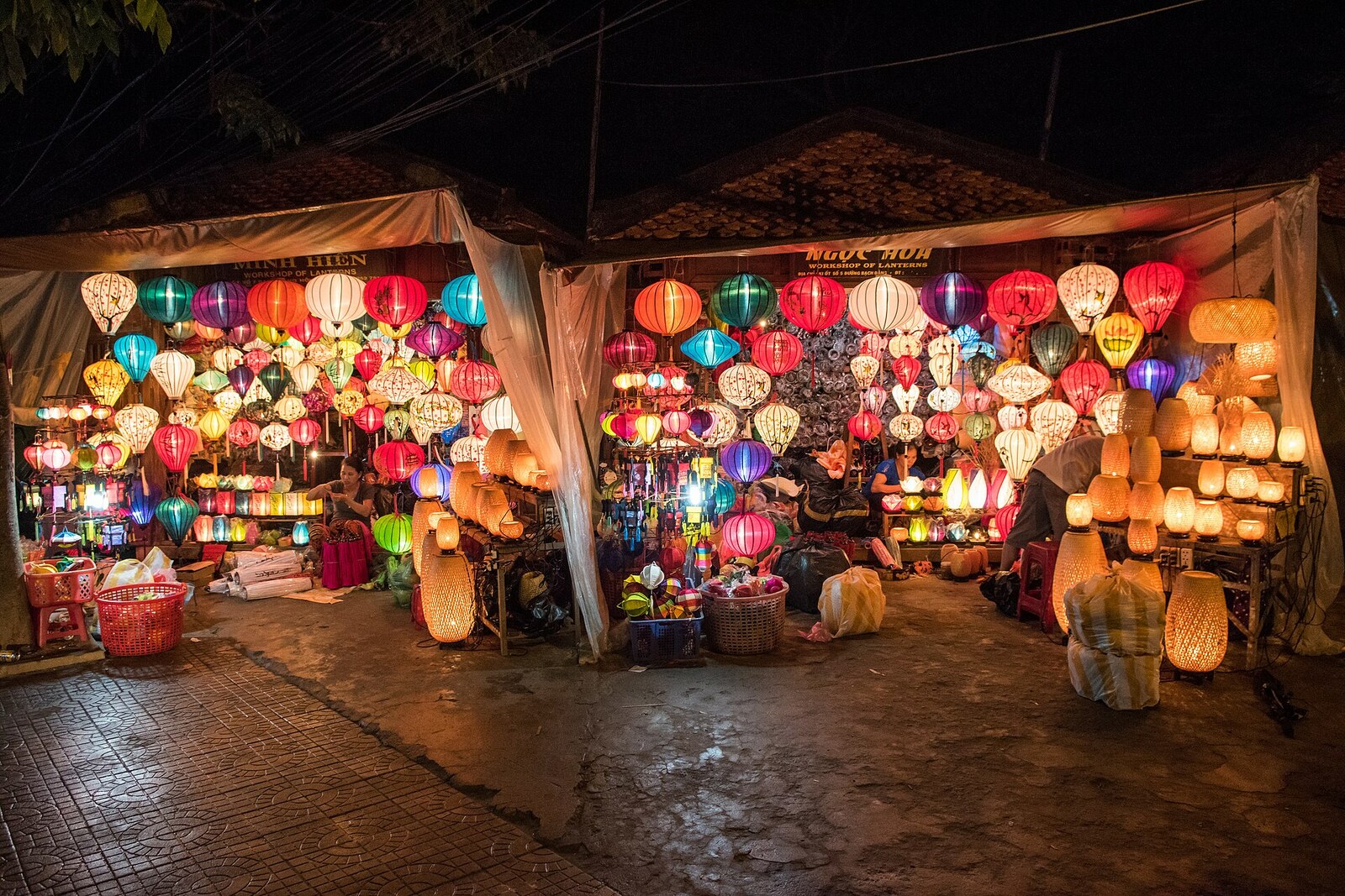
Look around first
What to notice
- Bridge railings
- Hoai River
- Nguyen Hoang Street
- Evening market rows
The story of the place
The Hoai River beneath the bridge is a small branch of the Thu Bon River. Bach Dang Street in the old town ends on the north bank, while the An Hoi neighborhood lies on the south bank. That is the origin of the crossing's name: the bridge leads to An Hoi.
In the nineteen eighties, this bank looked like a poor sandbar. Houses had no numbers, and alleys had no names. Some families from the fishing settlement lived directly on boats. A boat provided an income and served as a home; among the adults were people who could not read or sign their names, and children's births were sometimes registered with great delay.
For three years, from nineteen eighty-six to nineteen eighty-eight, fishing families were resettled on land. Afterward, the boat community received permanent homes, but the bank still needed roads, electricity, and a reliable connection to the old town.
Residents of An Hoi invested more than thirteen billion dong in redeveloping their sandbar. Together with city funds, the total exceeded thirty billion. The money went toward reinforcing and improving the bank, Nguyen Hoang Street, the alleys, and the bridge. People paid for the crossing they themselves used every day and for the streets in front of their own homes. By the mid-twenty-tens, An Hoi and neighboring Dong Hiep had more than five hundred fifty households; more than half of the families were already earning their living through trade, tourist services, and crafts.
The former bridge served for more than forty years and became unsafe for traffic. It was dismantled, and on March twenty-seventh, two thousand eight, the present crossing with old-style railings was opened. There are no more houseboats at its southern end. Nguyen Hoang Street begins there, with its evening market rows—on the very sandbar whose residents raised part of the money for the bridge.
Useful on site
Open public space; the lower level depends on flooding and temporary barriers.
Checked: date not specified. Check the official source before visiting.After dark, it becomes more crowded here: stay at the edge of the flow and approach the water carefully. A boat ride and launching a lantern are not required.