 Guide On Map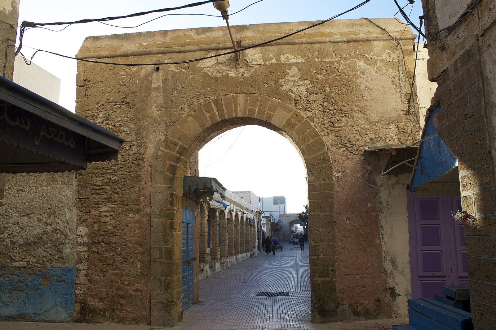
Look around first
What to notice
- Intersection of straight streets
- Market rows
- Straight street toward Bab Doukkala
- Straight street toward Bab Marrakech
The story of the place
Souk Jdid consists of four markets laid out at the intersection of straight roads. In seventeen sixty-seven, Sultan Mohammed ben Abdallah, ruler of Morocco, closed Agadir to foreign trade. He needed a port where his officials could record goods and collect customs duties: the recently founded Mogador.
The order immediately changed the lives of merchants. European consuls from Agadir, Safi, and Rabat were told to move to Mogador. Merchants from Agadir and the Souss region were offered houses, credit, and customs privileges here. They lived on the proceeds of long-distance trade: if a merchant remained in a harbor that foreign ships were forbidden to enter, he lost both his customers and his goods. Many relocated. Agadir lost its international trade, and its port remained closed for most of the nineteenth century.
For the people and cargo brought here, the sultan needed a city with clear routes from the gates to the port. He hired Théodore Cornut, a French surveyor and specialist in fortifications, and assigned him to draw up the plan of Mogador. Cornut laid out straight streets: one linked Bab Doukkala to the port, another linked Bab Marrakech to the sea-facing side. Merchants from inland regions, caravans from the south, and goods unloaded from ships traveled along them.
At the intersection of these roads, four separate markets were established: for fish, spices, grain, and other goods. The entire hub was named Souk Jdid, Arabic for “New Market.” Here, an arriving traveler could unload, find the needed row, and continue to the warehouses or the harbor without searching for a passage through residential lanes.
The former layout has survived almost intact. From Souk Jdid, straight lines still lead toward Bab Doukkala, Bab Marrakech, the port, and the sea wall, while nearby remains the Ahl Agadir quarter—“the people of Agadir”—named for the merchants who obeyed the sultan’s order and moved their trade here.
Useful on site
Public streets are accessible at all times; the market rows follow their own daytime schedule.
Checked: date not specified. Check the official source before visiting.Stop at the edge so as not to obstruct sellers, porters, or shoppers. At busy times, listen to the account in a less crowded stretch along the same axis.