 Guide On Map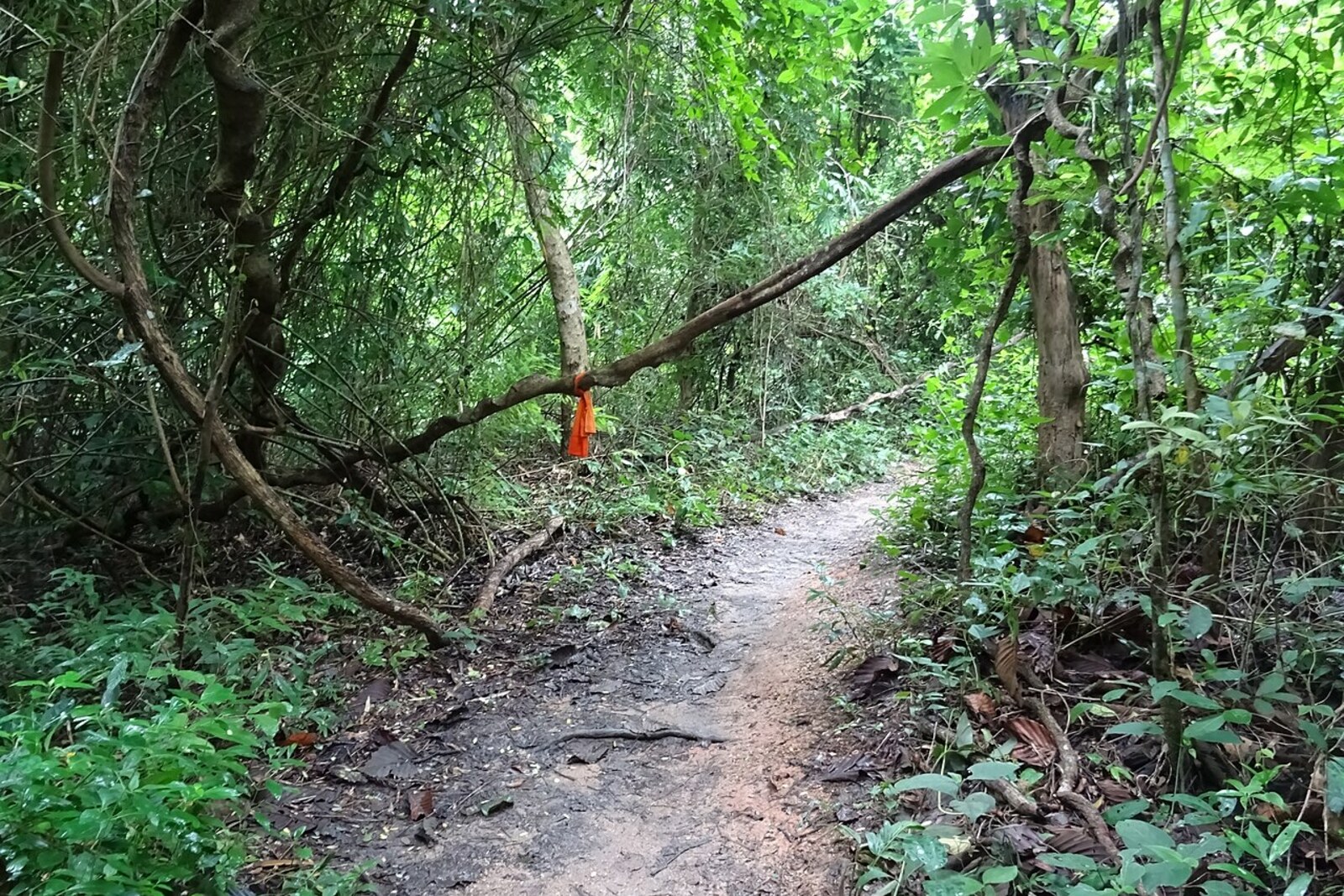
Look around first
What to notice
- Rocky trail
- Forested slope
- Buildings of Wat Pha Lat
The story of the place
The trail was named after the monks of Wat Pha Lat, who walked down it to Chiang Mai. The forest monastery stood on the old route to the Doi Suthep relic, and its community depended on food that laypeople placed in the monks' bowls during their morning round. To receive their food for the day, the monks descended to houses in the city, then carried the alms back up the rocky slope.
Pilgrims used the same passage. They climbed on foot from the city, stopped at Wat Pha Lat, and continued on to the monastery at the summit. A wealthy person could ride an elephant or a horse; a noble traveler was carried by servants. For everyone else, the ascent remained a journey on their own feet. Wat Pha Lat arose precisely halfway along this route and served as a stop where, without it, an uninterrupted climb from the plain to the sacred site would have awaited.
In nineteen thirty-five, Kruba Srivichai's volunteers opened a road for cars. Pilgrims and cargo moved onto it, and the former trail lost its everyday purpose. Later, city hiking enthusiasts took it over: the flow became so heavy that the monks of Wat Pha Lat chose another route for their alms rounds.
The rocky strip still leads to the monastery that once fed people and gave them respite on the climb. The name remained with the trail; the monks whose daily descents gave it that name now walk to the city by another road.
Useful on site
Open at all times; use only in daylight and dry weather
Checked: June 28, 2026. Check the official source before visiting.Walk only in good light and stable weather; slow down on wet roots and stones, and do not leave the clearly visible trail.