 Guide On Map
A Circuit Around Victoria Peak: The City from Above
From Victoria Gap along Lugard Road to Victoria Garden and Harlech Road
Guide On Map on your phone
Open the walk like a regular app
It takes about 10 seconds to install. No app store needed.
The whole path
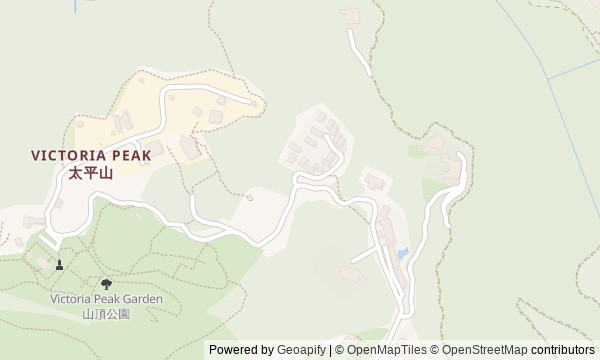
Route map
About the walk
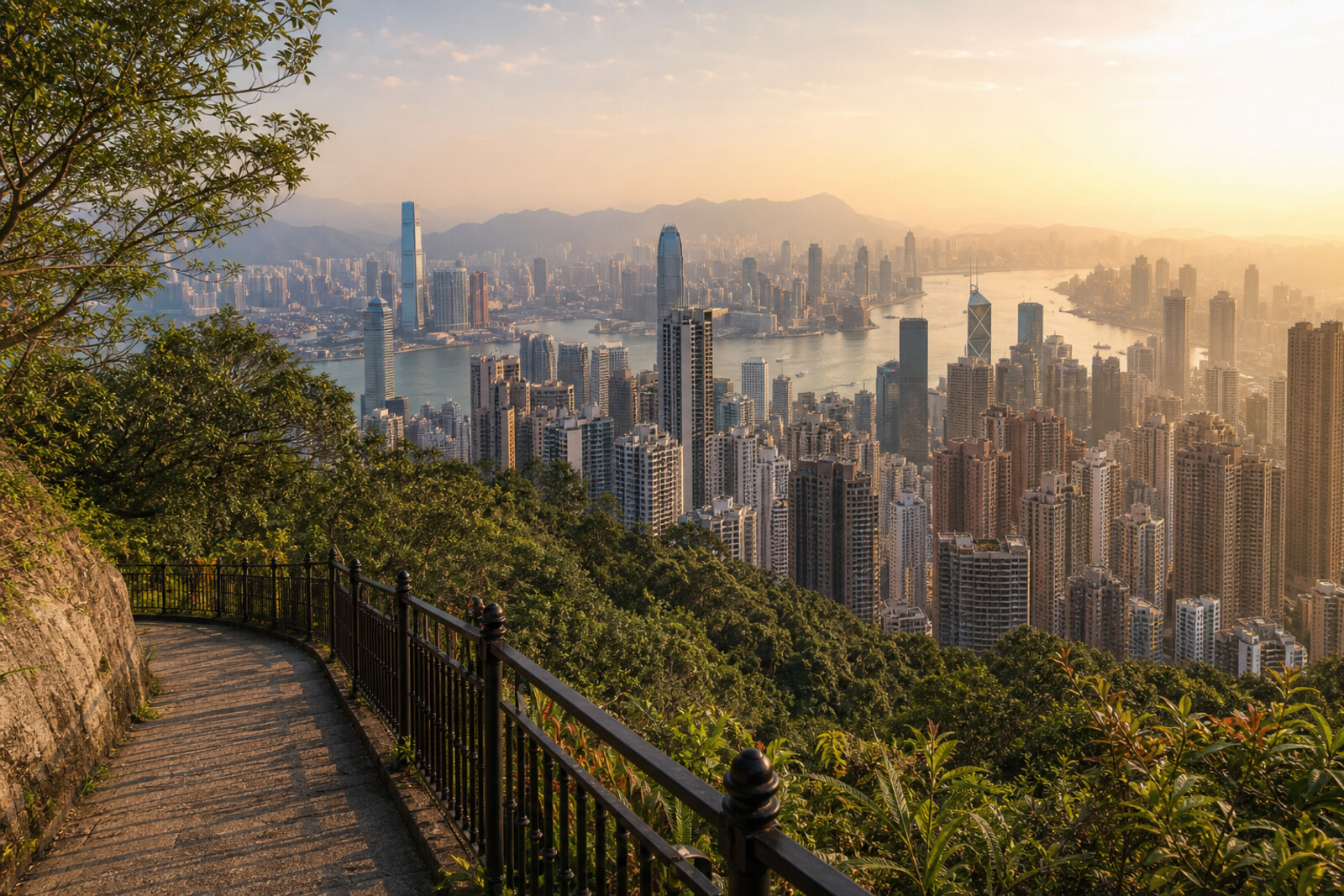
You will begin at Victoria Gap, where two retail buildings greet passengers from the Peak Tram. Lugard Road then leads along the northern slope: first across a section carried out above the drop, then toward a wide view of Victoria Harbour and Kowloon. At the western fork, the circuit changes character. Among the trees, you will find traces of a military site, and higher up you will look for a vanished governor's residence.
The way back follows Harlech Road to a stone arch and a rain-fed stream. This walk is not only about the skyline. The story will unpack things that usually remain scenery: the basin above the shops, the concrete supports underfoot, a white road on an old scroll, a cramped gatekeeper's house. It will pose a few short questions and leave the answers inside the stops: why an eye-catching building had to be redesigned, and why red flags once closed a peaceful trail. By the end, you will see the Peak as a place where walking, commerce, country authority, and the city's water were tied together by one mountain slope.
Why this order
Victoria Gap is the starting point because the flow of Peak Tram passengers determined the fate of the two retail buildings. From there, Lugard Road immediately takes you onto the section carried out over the slope: before you take in the panorama, you will find out how a path was laid there at all. The same road then leads to the view it was built for, and on to the western fork, where the terrain explains the location of the former firing range. From here, Harlech Road returns to Victoria Gap, and the climb along Mount Austin Road continues the conversation about how the summit was used: the military site gives way to the gates of the former governor's residence. After Victoria Garden, you will descend back to Harlech Road. The stream beneath the stone arch ends the route where water from the upper slope runs toward Pok Fu Lam Valley.
Those who want to see Hong Kong from above and understand how the Peak itself works Lovers of urban history, engineering details, and human decisions Those who enjoy a connected walk with panoramas, wooded stretches, and surviving traces of the past
Those who want to limit themselves to a single viewpoint Those looking for a walk only among central streets and dense urban development
Before you go
Check the weather and visibility: cloud or heavy haze can hide Victoria Harbour completely, and after rain the stones, leaves, and sections by the stream become slippery. Bring water and anything you will need for the whole walk before setting out on the circuit. On narrow stretches, keep to the side, do not take up the road as a whole group, and leave room for runners and people coming the other way. Historic houses and Gate Lodge are best treated as exterior sights: the route does not include entry to private or closed buildings. If you decide to climb High West as well, assess your energy in advance—it is a separate effort beyond the main walk.
When to go
Choose daylight hours with good visibility. In the morning, the road usually feels quieter; closer to evening, the light over Victoria Harbour and the outline of the city begin to change. After rain, the forest is especially striking, but walk with more care.
Backup plan
If clouds hide the panorama, you do not have to cancel the whole walk: focus on the cut rock, retaining walls, old houses, Gate Lodge, and the water along Harlech Road—those details do not depend on a distant view. If you are tired, skip the climb to High West and stay on the main circuit. You can also shorten the side trip to Victoria Garden by returning to Harlech Road earlier. If rain strengthens or the surface becomes uncomfortable, it is wiser to turn back along the familiar route to Peak Tower than to press on simply to complete the circuit.
Route conditions
Surface. Paved — 5.3 km (data covers 91% of the route)
Stairs. Flights: 3, 357 m in total
Access. Wheelchair — no; stroller — limited (stairs)
Facilities. Toilets — 6; drinking water — 2
Elevation. Ascent — 289 m; descent — 289 m
OpenStreetMap extract of June 18, 2026: database data, not a check on the ground. Data © OpenStreetMap contributors, ODbL licence
Walk plan
Open in maps ↗- 1
Peak Tower and Peak Galleria
Here it becomes clear how competition for passenger traffic changed a recognizable silhouette and the route through the building. - 2
Lugard Road
This stop explains what it took to carry the promenade through the most difficult section of the slope. - 3
Lugard Road Panorama
Here you can compare the present-day shoreline with the Hong Kong that the artist chose as the subject of his scroll. - 4
Junction at High West
At this point, the former military geography of a peaceful forest junction becomes clear. - 5
Victoria Garden and Gate Lodge
Here, the history of a secluded summer life ends with a path into a public garden. - 6
Waterfall on Harlech Road
The final stop will connect the stream at the summit with the first water-supply system of the growing city.
Route features
Everything you need stays in the browser
Progress, saves and your trip plan are stored on this device.
Add Guide On Map to your home screen so the walk opens outside the browser.
How we handle sources, maps and corrections: our editorial standards