 Guide On Map
The Berlin Wall on Bernauer Straße
From Nordbahnhof through the memorial to Mauerpark
Guide On Map on your phone
Open the walk like a regular app
It takes about 10 seconds to install. No app store needed.
The whole path
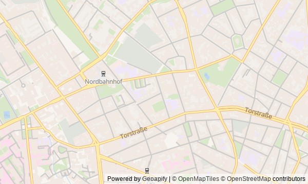
Route map
About the walk
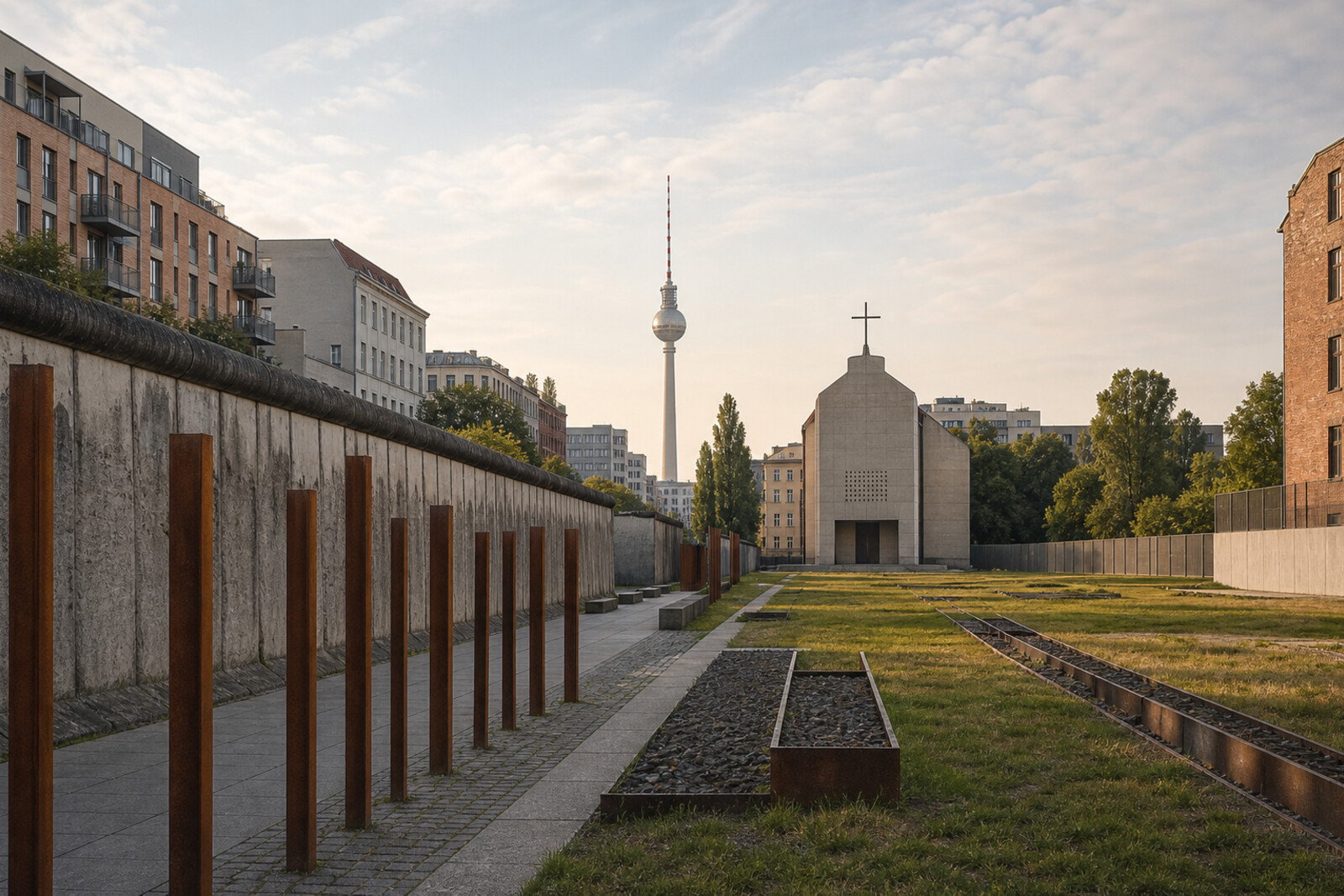
You will begin underground, at a station where trains once passed a closed platform. Then you will emerge onto Bernauer Straße and follow the former border strip: through the street memorial, past a steel window filled with faces, up to a viewing tower, alongside a surviving barrier complex, and finally to a chapel built where a vanished church once stood. The walk ends in Mauerpark—a piece of land that could have been developed after the border opened.
This is not an overview of the Berlin Wall, but the story of one cut through the city. You will come across a red pocket flashlight, a cap that flew over the border, a bricked-up window, and a document that stopped demolition. The story rests on such small traces, carefully separating what is known from what the records do not explain.
By the end of the walk, you will be able to tell apart the surviving elements of the border system, later memorial markers, and the places where residents reclaimed the freed strip for themselves.
Why this order
Nordbahnhof first reveals the border underground, while the exit toward the Visitor Center of the Berlin Wall Memorial brings it back to the surface and explains why authentic structures survived on Bernauer Straße at all. From the story of the saved section, the route enters the memorial field toward the Window of Remembrance: after concrete slabs come the faces of the people for whom they were left standing. Across from the window, the Berlin Wall Documentation Center provides height and a view of the strip's full width. The route then descends into the system seen from above—to the outer and inner walls, the patrol road, and the line of lamps. Beside the barriers stands the Chapel of Reconciliation, built on the site of a destroyed church: the parish's return only makes sense once the border system is understood. Farther on, the same freed strip leads to Mauerpark, where demolition resulted not in memorial structures but in a lawn, trees, and an amphitheater.
Those who want to understand how the border worked through surviving traces Those who value human stories without museum rhetoric Those who prefer one coherent walking route to a collection of separate monuments
Those looking for an easy walk without difficult subject matter Those who want to see only the best-known painted fragments of the wall Those uninterested in memorial spaces and documentary detail
Before you go
Before setting out, check access to the exhibition spaces, the Berlin Wall Documentation Center, the viewing platform, and the chapel: the street memorial can be explored independently, but the interiors add considerably to the story. Bring headphones and leave room for pauses between stops—taking in all the material without a break can be hard. The route is mostly outdoors, so dressing for the weather matters more than museum attire. For the Mauerpark finale, check separately whether a market, karaoke, or other events are on that day: the park's atmosphere changes greatly with the schedule.
When to go
Allow 2–3 hours. The distances between stops are short, but the exhibition, the view over the border strip, and the memorial stops take time; if you visit every interior, the walk will come closer to the upper end of that range.
Backup plan
If the Berlin Wall Documentation Center, tower, or chapel is closed, the route still works as an outdoor walk. At the Visitor Center of the Berlin Wall Memorial, reconstruct the street plan; view the Window of Remembrance from outside; and study the border system from the publicly accessible path beside the surviving complex. The Chapel of Reconciliation can be read through its exterior form, separate bell tower, and the cross lying nearby. In bad weather, shorten the long stops in the open air, but do not skip the link between the viewing point and the preserved section: that is what turns the border plan into its real scale. Keep Mauerpark as the finale even if no events are on—its terrain and old lines work without the Sunday crowd.
Route conditions
Surface. Paved — 2.2 km; unpaved — 28 m
Access. Wheelchair — limited; stroller — limited
Facilities. Toilets — 1; drinking water — 2
Elevation. Ascent — 23 m; descent — 5 m
OpenStreetMap extract of June 23, 2026: database data, not a check on the ground. Data © OpenStreetMap contributors, ODbL licence
Walk plan
Open in maps ↗- 1
Nordbahnhof
The underground station will show that the border blocked not only streets, but also operating railway tunnels. - 2
Visitor Center of the Berlin Wall Memorial
Here it becomes clear why the outdoor exhibition begins with an authentic section of the wall that was nearly dismantled. - 3
Window of Remembrance
One personal fate will show how a person could disappear first from the city and then from official memory. - 4
Documentation Center and Viewing Platform
From above, for the first time you will see not an isolated wall, but the entire sequence of border obstacles. - 5
The Preserved Border Complex
Here you will break the border down into its individual obstacles and see how they responded to escapes through windows. - 6
Chapel of Reconciliation
Here, bricks from the destroyed church will end up inside a new building erected by the returned congregation. - 7
Mauerpark
The finale will show how residents turned freed-up land from a reserve for development into a public park.
Route features
Everything you need stays in the browser
Progress, saves and your trip plan are stored on this device.
Add Guide On Map to your home screen so the walk opens outside the browser.
How we handle sources, maps and corrections: our editorial standards