 Guide On Map
Barcelona’s Shore: the Old Port and Olympic Districts
From Rambla de Mar through La Ribera to Vila Olímpica
Guide On Map on your phone
Open the walk like a regular app
It takes about 10 seconds to install. No app store needed.
The whole path
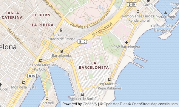
Route map
About the walk
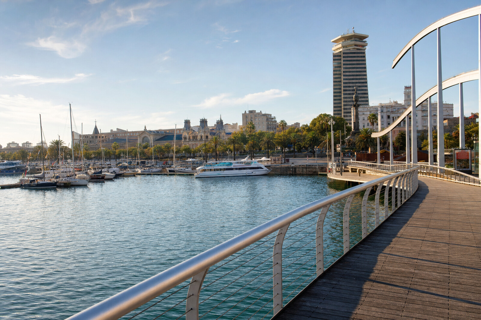
You will begin at the end of La Rambla and cross a wooden walkway above the old harbor. Then the route will take you through La Barceloneta and mercantile La Ribera, return you to the beaches, and end among the homes of Vila Olímpica.
Water will be close almost all the way, but this will not be a postcard walk. You will see the shore as a workplace: piers, warehouses, a trading house, a church for porters, and districts that had to give way to a new Barcelona.
The stories will move from an object to a human decision. Why was a wooden street cut across the water? Why did a clock end up where a harbor light once stood? How did porters acquire a chapel of their own? The answers wait at the stops.
The tone will be calm and precise, without Olympic sparkle or a medieval haze. By the end, you will be able to tell apart what was opened to the city on Barcelona’s shore, what was preserved, and what was demolished to make the sea accessible to everyone.
Why this order
Rambla de Mar first shows how the old harbor was returned to city residents without taking it away from boats. The walkway leads to La Barceloneta, to a former lighthouse beside a working fishing pier: behind the promenade, the working port appears at once. From the tower, the route returns along the water to Palau de Mar, moving from navigation to the cargo for which the piers existed. Near the former warehouses stands La Llotja de Mar, where those same goods were priced and commercial disputes were settled. La Ribera begins beyond it, so Santa Maria del Mar comes next: here the mercantile city appears from the perspective of the porters who carried cargo and stone. The route then leaves Port Vell for the Olympic Port, a shore remade for sport but still bearing the name of vanished Somorrostro. Beyond the port, the same transformation continues inland: Vila Olímpica ends the route among housing built on the site of industrial Icària, beside its last factory chimney.
Anyone who wants to understand Barcelona’s modern waterfront Lovers of urban history beyond the official version Those drawn to ports, architecture, and traces of labor
Those looking only for beaches and sea views Those uninterested in port work and urban redevelopment Those who want to spend the whole walk in medieval districts
Before you go
Plan for roughly 6.2 km and choose comfortable shoes: the wooden decking, El Born’s stone streets, and the long seafront promenade all feel different underfoot. Bring water and sun protection—there is little shade in places during the second half of the route. Rambla de Mar may briefly open to let vessels through, so simply wait for the crossing to reopen. A museum visit will make the walk longer, and the interior of La Llotja de Mar usually requires a separate organized tour; if it matters to you, arrange one in advance. Do not try to follow the route as an unbroken line along the beach: the urban detour between the port and El Born is deliberate.
When to go
Start during the cooler part of the day and leave time for pauses by the water. The full route is best done without rushing, or split in 2: Port Vell and El Born first, then La Barceloneta, the beaches, and the Olympic districts. The second half is especially pleasant closer to evening, when the open promenade softens in both light and temperature.
Backup plan
Closed doors do not ruin the route. If you cannot enter the museum, La Llotja de Mar, or the basilica, view them from outside: the brick warehouse, the façade of the trading palace, the rose window, and the figures of porters on the church still support the main stories. In bad weather, shorten the exposed beach section and finish earlier at La Barceloneta or the Olympic Port. If you are simply tired, save the beaches and Vila Olímpica for another outing—the thematic boundary between the old port city and the Olympic waterfront lets you split the route without losing its meaning.
Route conditions
Surface. Paved — 4.1 km (data covers 88% of the route)
Facilities. Toilets — 5; drinking water — 14
Elevation. Ascent — 44 m; descent — 38 m
OpenStreetMap extract of August 12, 2026: database data, not a check on the ground. Data © OpenStreetMap contributors, ODbL licence
Walk plan
Open in maps ↗- 1
Port Vell and Rambla de Mar
Here the first task of the new waterfront becomes clear: to bring city residents back to the water without trapping boats inside the harbor. - 2
La Barceloneta and Torre del Rellotge
This stop connects the fishing port, the measurement of the Earth, and the changing role of an old navigation tower. - 3
Palau de Mar
Here, cargo will become collateral, and a warehouse will become the subject of a struggle between the port and a private company. - 4
La Llotja de Mar
This stop will show how merchants regained the trading house occupied by troops and preserved its medieval core. - 5
Santa Maria del Mar
Here, port labor enters the history of the church through stone, a chapel, and figures of porters on the doors. - 6
Beaches and the Olympic Port
This stop links the Olympic race with the memory of a coastal neighborhood that disappeared before the Games. - 7
Vila Olímpica
The final stop will show the cost of transforming industrial Icària into a residential Olympic district.
Route features
Everything you need stays in the browser
Progress, saves and your trip plan are stored on this device.
Add Guide On Map to your home screen so the walk opens outside the browser.
How we handle sources, maps and corrections: our editorial standards